




2026 Competitive Land Sale Auction: Sterling – Kenai River (MHT 9200723)
Alternate Sale Procedure
: YesMHT Number
: 9200723Minimum Bid
: $742,500.00Parcel Acres
: 9.070Lot
: 19A, 19BParcel Road Access
: NoMH Parcel Number
: SM-0595 and SM-0596Survey
: EPF 36-27MTRS
: S005N008W22,27Region:
SouthcentralGeneral Location:
Kenai PeninsulaCommunity/Subdivision (S/D):
Sterling - Kenai RiverLocation:
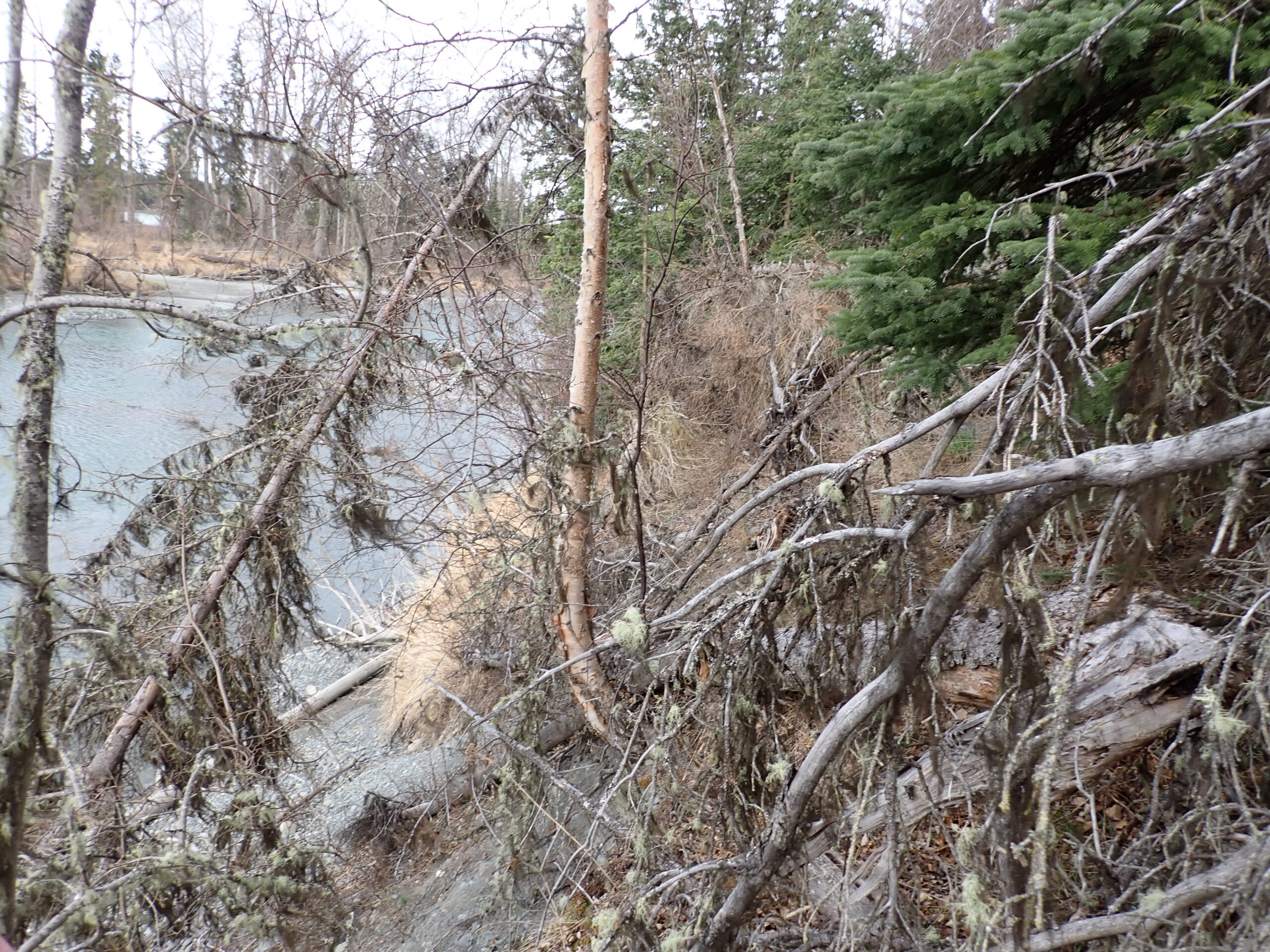
Nestled in the heart of Alaska’s Kenai Peninsula, Sterling offers a warm welcome to visitors and residents. The stunning Kenai River winds through this charming community, providing breathtaking scenery and world-class opportunities for fishing, kayaking, and wildlife viewing. The proximity to the Kenai River provides easy access to recreational activities and natural surroundings.
Alternate Sale Procedure
This parcel has been selected and is subject to the Alternate Sale Procedure. Please review the posted Policy and Procedures for how to place a bid.
How to Access
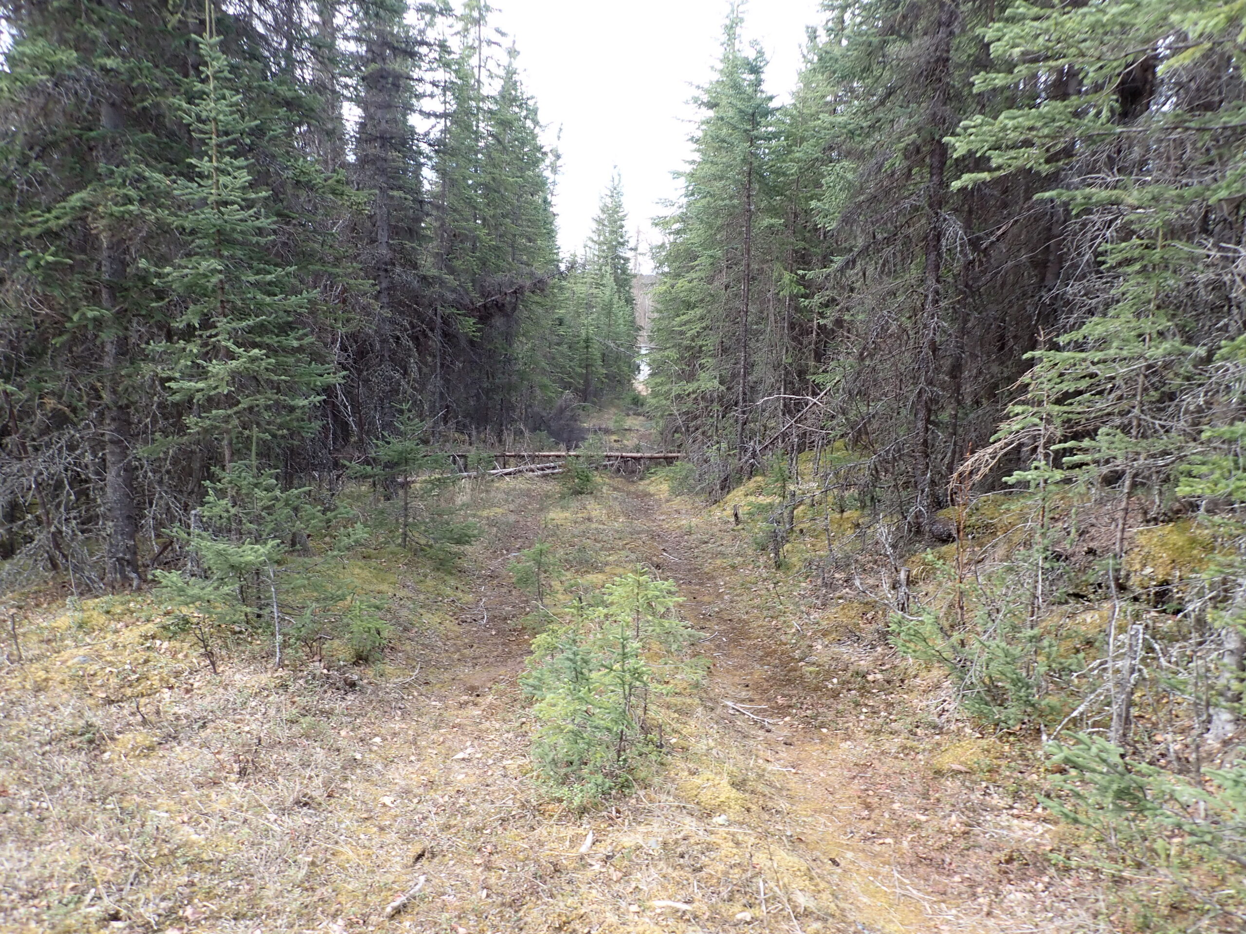
Please note: Prospective buyers should be aware that legal access to lots 19A and 19B is available only via the undeveloped section line easement running east to west between Sections 22 and 27, which connects to Kenai Keys Road. An unauthorized road, known as Limit Out Drive, crosses Cook Inlet Region, Inc. (CIRI) land; the TLO cannot authorize public access via this route.
The Kenai River lots 19A and 19B are located approximately 2.5 hours south from Anchorage. To access the section line easement from Kenai Keys Road, prospective buyers will turn onto Feuding Lane off of the Sterling Highway and head south for approximately 2.0 miles and turning onto Kenai Keys Road. After approximately 0.60 miles on Kenai Keys Road, the undeveloped section line begins after Geerin Road. Alternative access may be from the Kenai River.
Utilities
Electricity is in the area, prospective buyers will need to contact Homer Electric Association, Inc. for additional information on construction. Natural gas is not available to the parcel.
There is no public water or sewer, private wells and septic systems are common in the area and must conform to Alaska Department of Environmental Conservation (DEC) requirements.
Muni/Borough Authority
The lots are within the Kenai Peninsula Borough and are subject to real property taxation and zoning restrictions.
Additional Notes
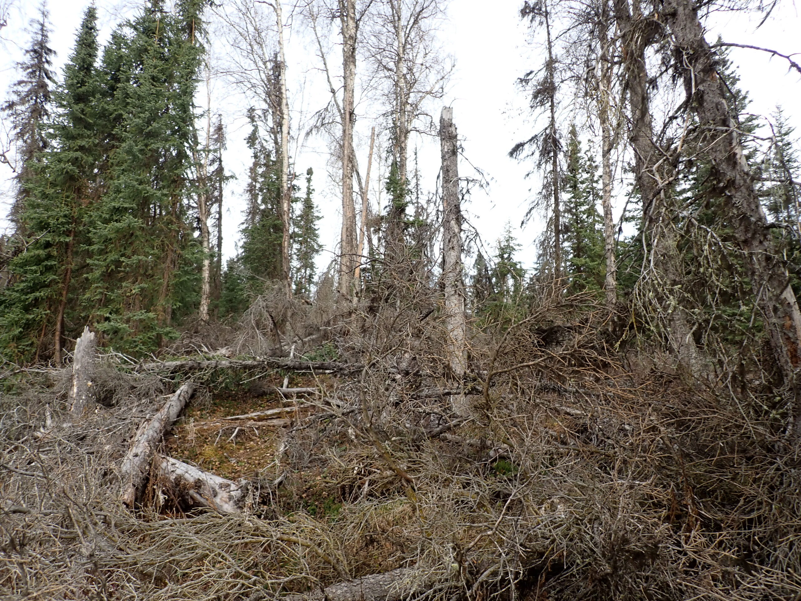
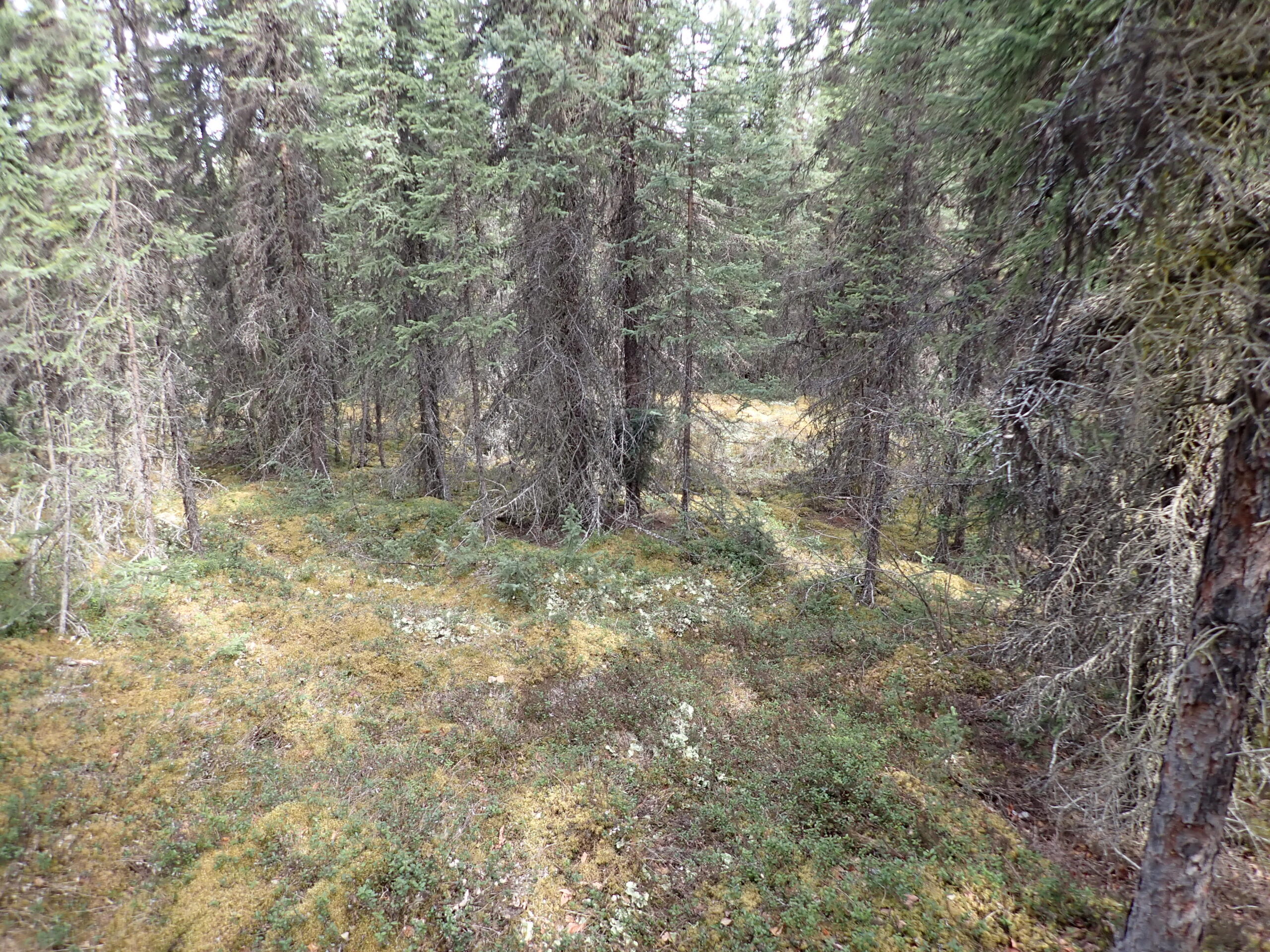
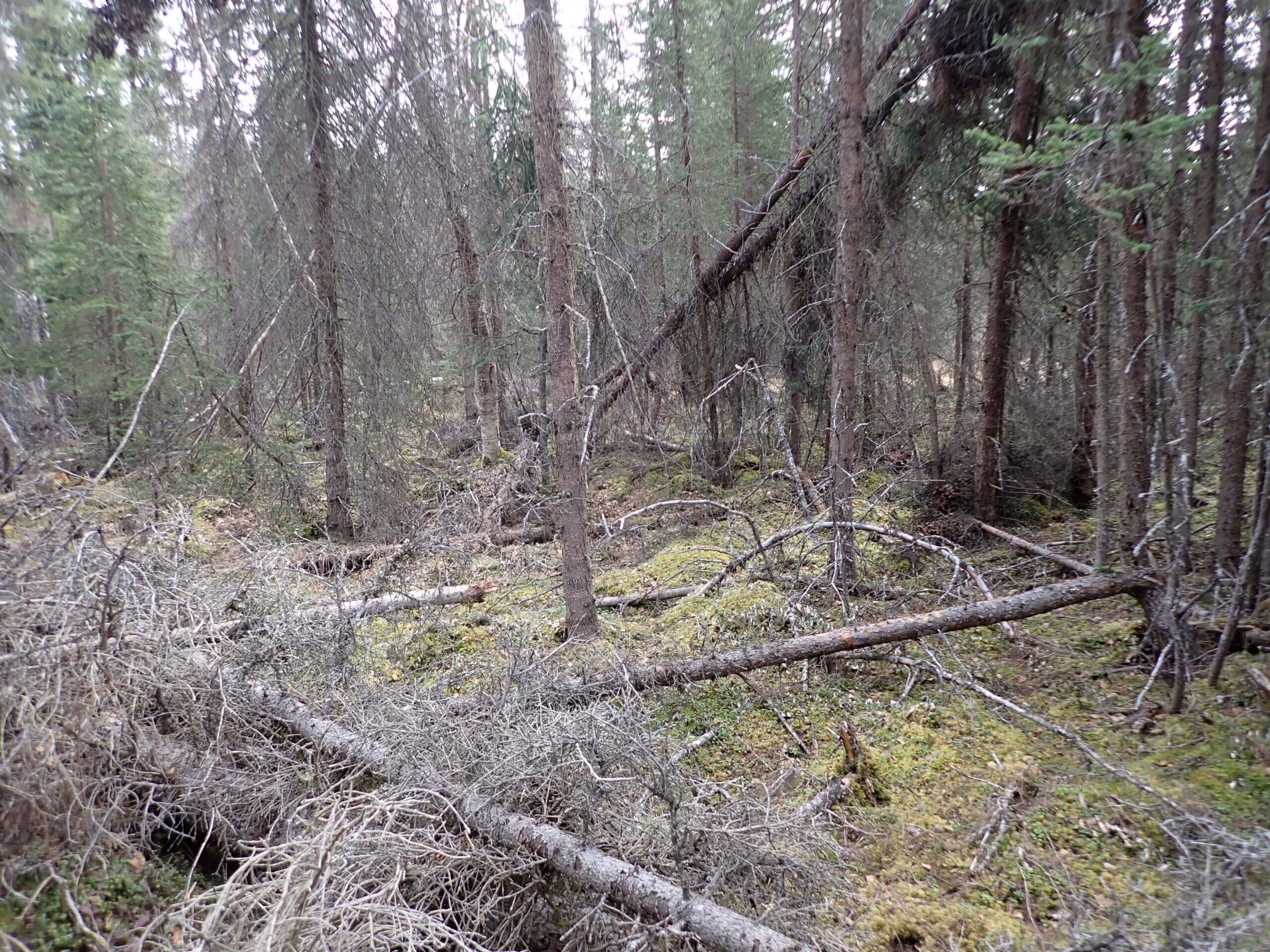
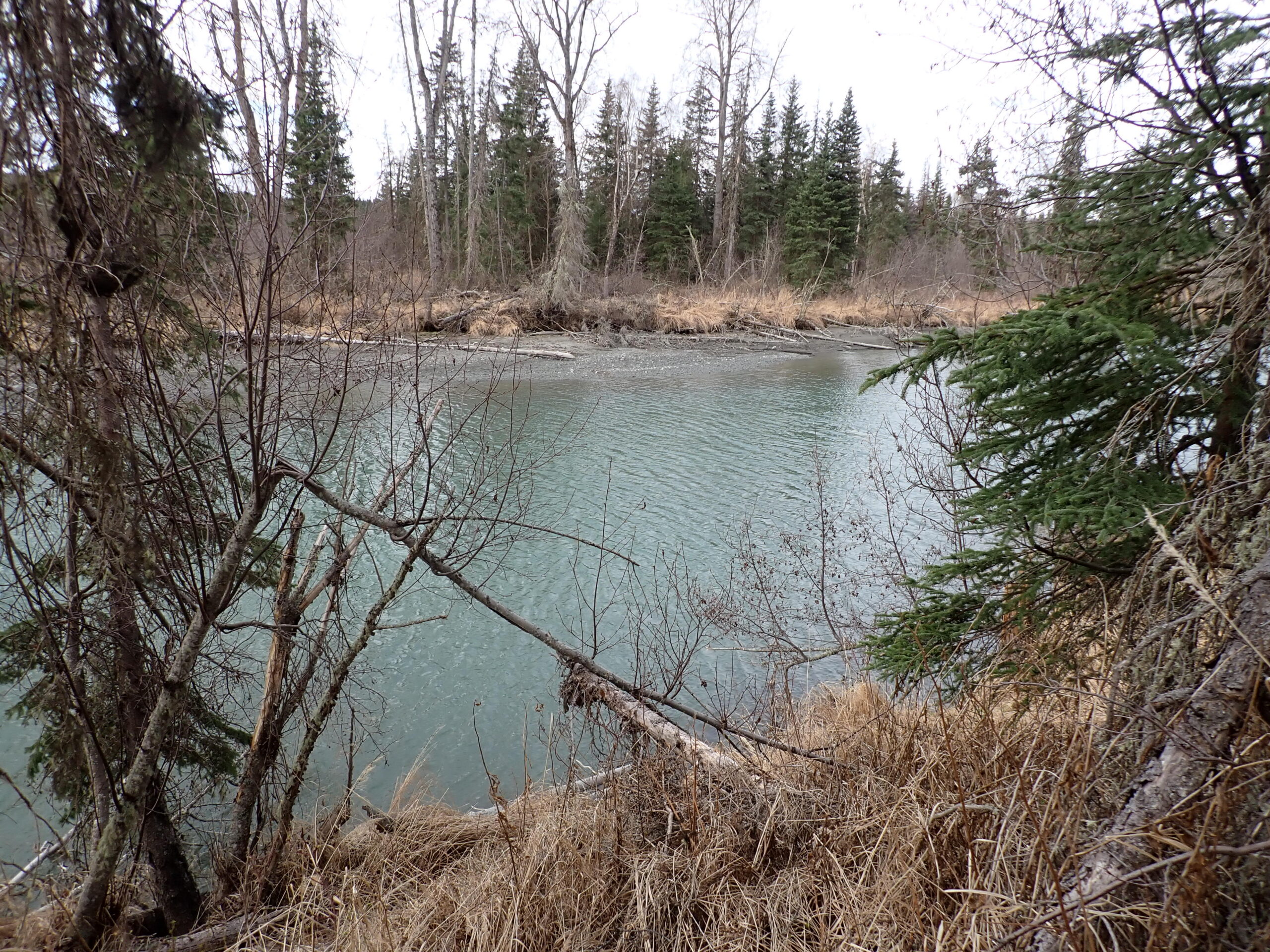
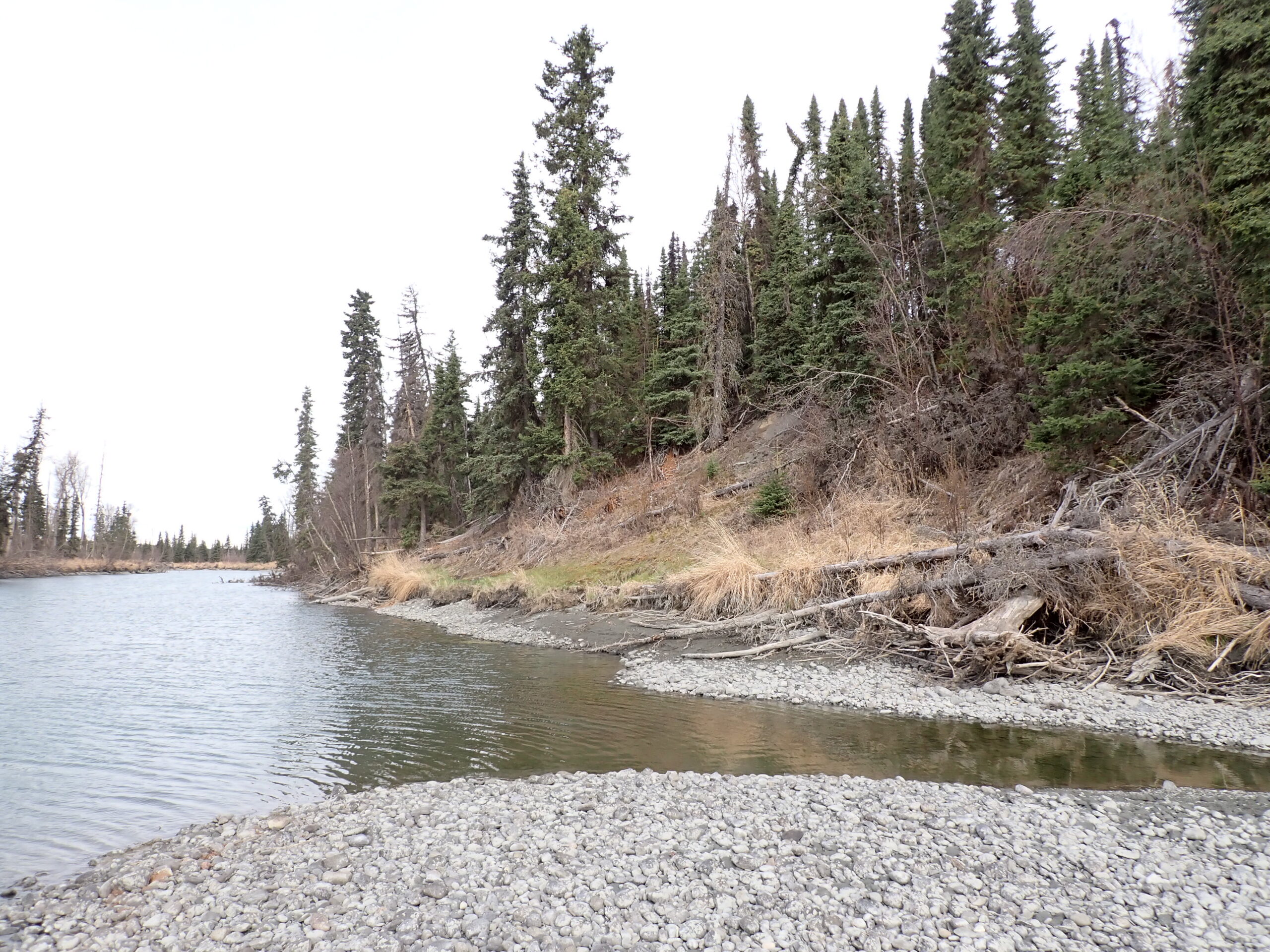
Th parcel appears to have suitable building sites and benefits from river frontage on the southern boundary. The vegetation is consistent with the southcentral region.
To view the parcel on the interactive map, please click the link: Parcel Viewer
To zoom directly to the parcel, enter the MHT number into the search bar at the top left corner of map.
Maps and Survey
Note: Maps included are for graphic representation only and are intended to be used as a guide. It is the responsibility of the purchaser to review recorded subdivision plats/maps, surveys, and plat notes for specific information on easements, building setbacks, or other restrictions that will affect any individual parcel. Information is made available at the Department of Natural Resources Public Information Centers or on the web at: http://dnr.alaska.gov/landrecords/
How to Place a Bid
For information on how to place a bid on this parcel, please visit and review the posted Policy and Procedures for the 2026 Competitive Fall Land Sale Auction.