

2026 Competitive Land Sale Auction: Moose Pass – Madson Subdivsion (MHT 9200815)
Alternate Sale Procedure
: YesMHT Number
: 9200815Minimum Bid
: $193,750.00Parcel Acres
: 21.762Lot
: Tract AParcel Road Access
: YesMH Parcel Number
: S20084, a portionSurvey
: ASLS 2020-01MTRS
: S004N001W01Region:
SouthcentralGeneral Location:
Kenai PeninsulaCommunity/Subdivision (S/D):
Moose Pass - Madson SubdivisionLocation:
The community of Moose Pass is located 29 miles north of Seward on the Kenai Peninsula and approximately 100 miles south of Anchorage. It is on the southwest shore of Upper Trail Lake, off the Seward Highway. The area is a popular recreation area, particularly during the summer, due to its proximity to the Trail Lakes, Trail River, and Seward area on Resurrection Bay. It is noted for its natural beauty and many hiking trails (within the adjoining Chugach National Forest), fishing, and camping. Community services include a US Post Office, school operated by the Kenai Peninsula Borough for grades K-8, convenience grocery store, library, restaurant, and inns.
Alternate Sale Procedure
This parcel is subject to the Alternate Sale Procedure. Please review how to place a bid for this select parcel by visiting the posted Policy and Procedures.
How to Access
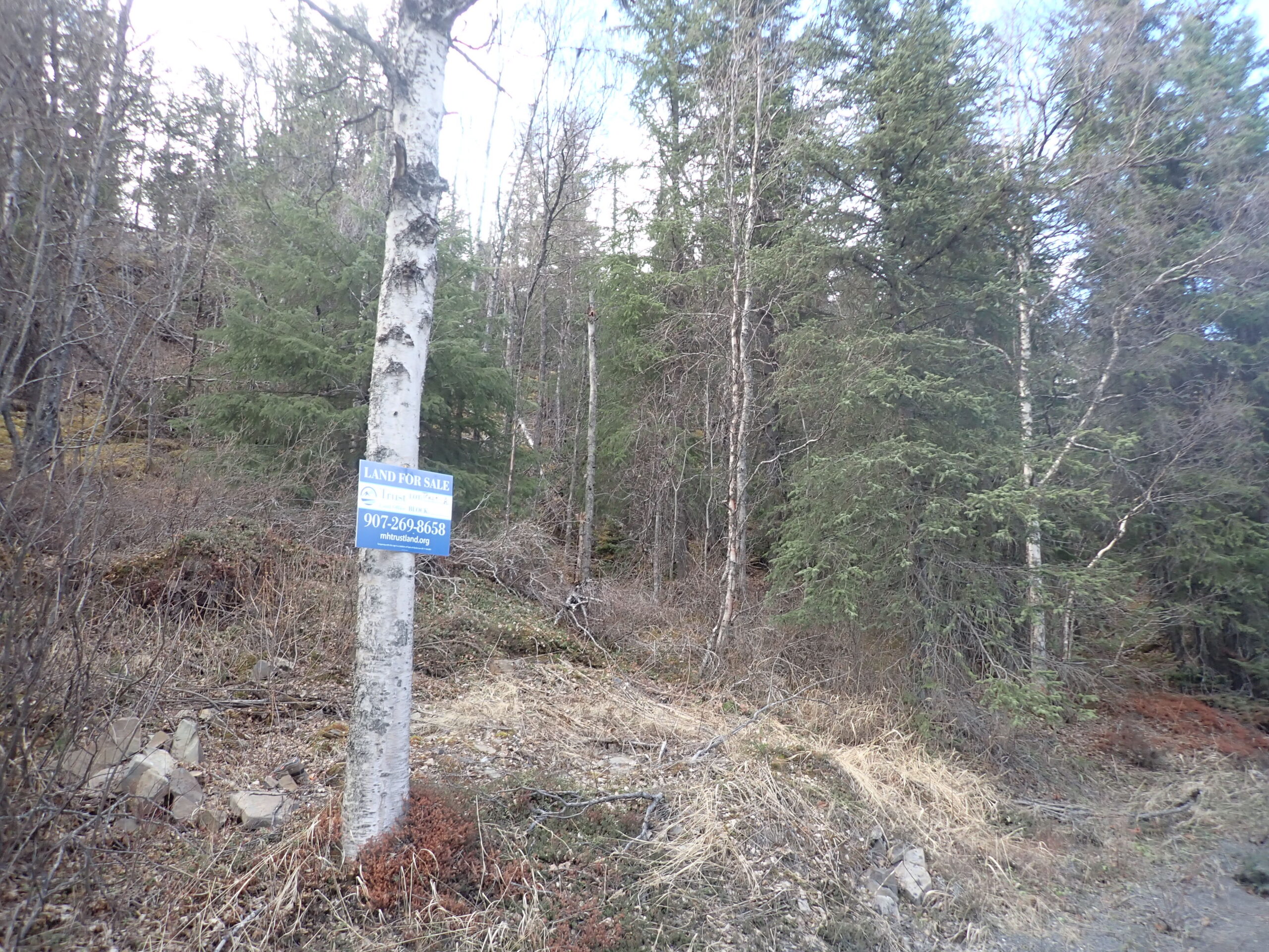
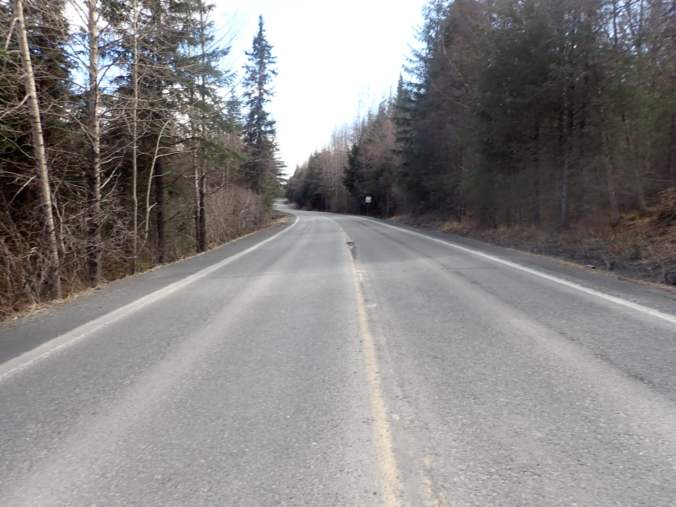
Moose Pass is approximately 1.5 to 2 hours south from Anchorage, AK on the Seward Highway. The parcel is on the west side of the highway approximately 1.4 miles south from Post Office Drive located in Moose Pass. The lot is identified by a “Trust Land Office, Land Sale” sign. The highway shoulder is very narrow and does not accommodate vehicle parking. The Trust Land Office encourages those wishing to view the parcel to proceed with caution along that stretch of road.
Utilities
Electrity is available to the lot; however, there is no central public water and sewer in the area. Water is typically handled by a private well and sewer is typically handled by a private septic system which would have to conform to Alaska Department of Environmental Conservation requirements.
Muni/Borough Authority
The parcels are located within the Kenai Peninsula Borough and are subject to real property taxation.
Additional Notes
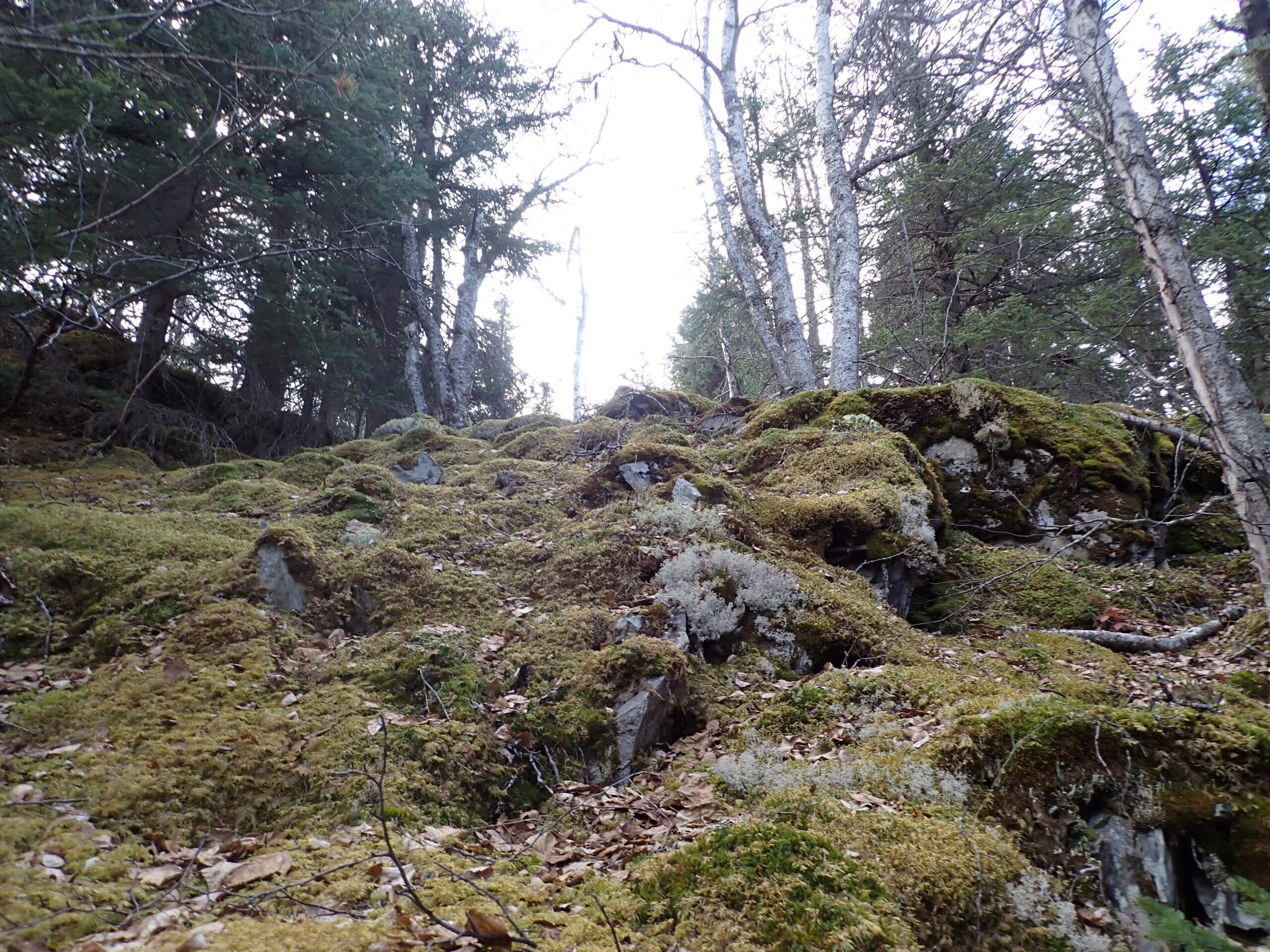
The parcel is heavily treed with alders, spruce, and birch trees. The topography of the parcel is considered moderate to steep from the highway.
To view the parcel on the interactive map, please click the link: Parcel Viewer
To zoom directly to the parcel, enter the MHT number into the search bar at the top left corner of map.
Maps and Survey
Note: Maps included are for graphic representation only and are intended to be used as a guide. It is the responsibility of the purchaser to review recorded subdivision plats/maps, surveys, and plat notes for specific information on easements, building setbacks, or other restrictions that will affect any individual parcel. Information is made available at the Department of Natural Resources Public Information Centers or on the web at: http://dnr.alaska.gov/landrecords/
How to Place a Bid
For information on how to place a bid on this parcel, please visit and review the posted Policy and Procedures for the 2026 Fall Competitive Land Sale Auction.