Kasilof
Location
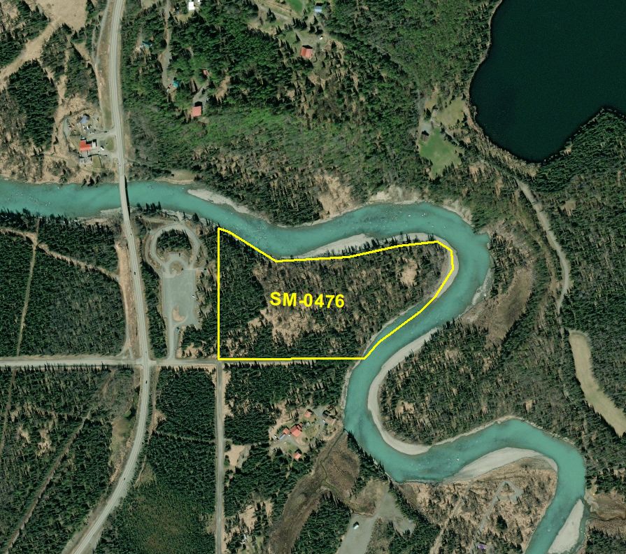
Parcel 9200788
- 19.95 acres
- Mental Health Trust Parcel Number: SM-0476
- Kenai Peninsula Borough Tax ID: 13355008
- Located in Section 30, Township 3 North, Range 11 West, Seward Meridian, Alaska
- Survey: Lot 11, Sec. 30, USRS S003N011W
- Minimum Annual Rent Bid: $75,000.00
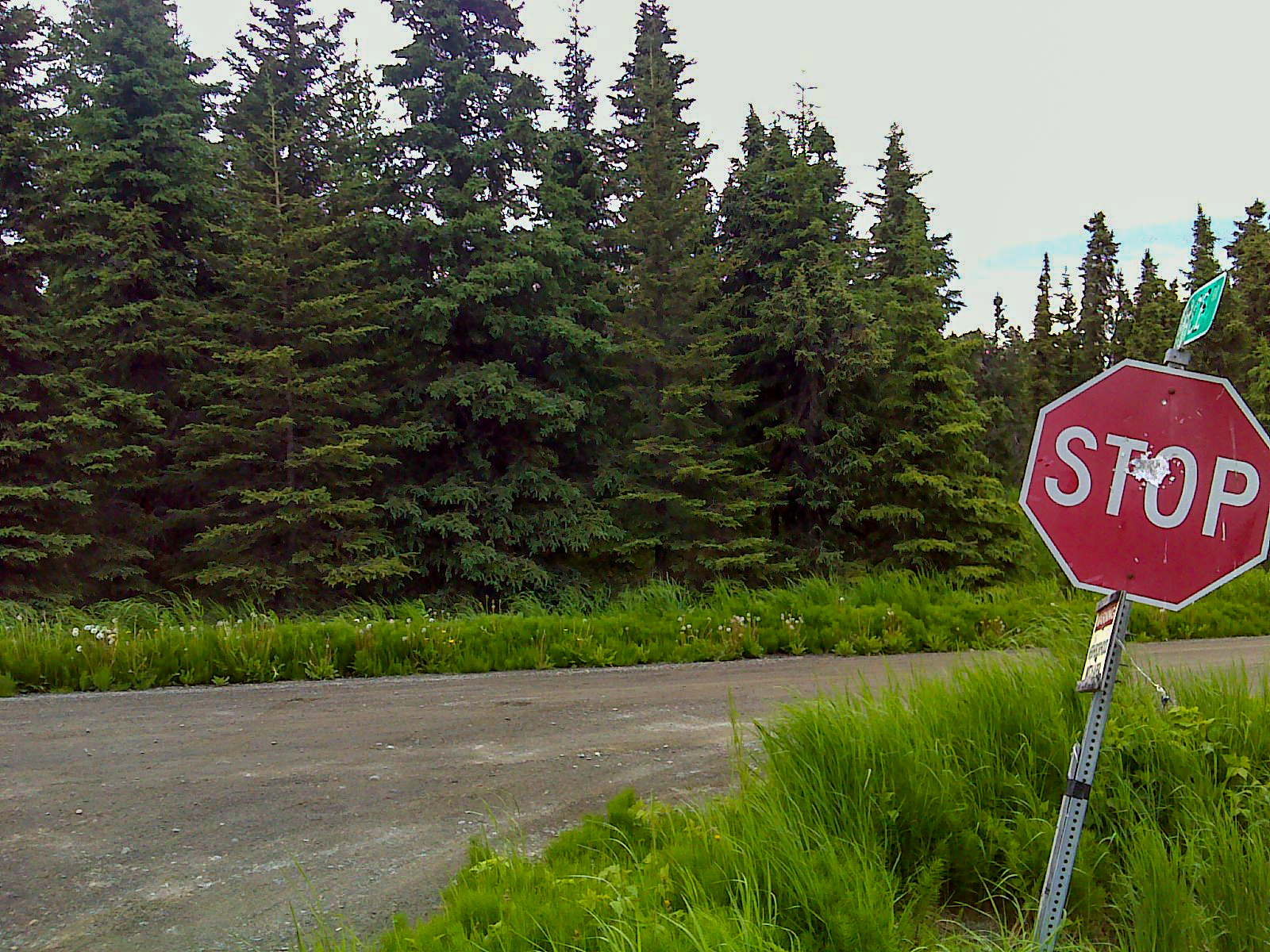
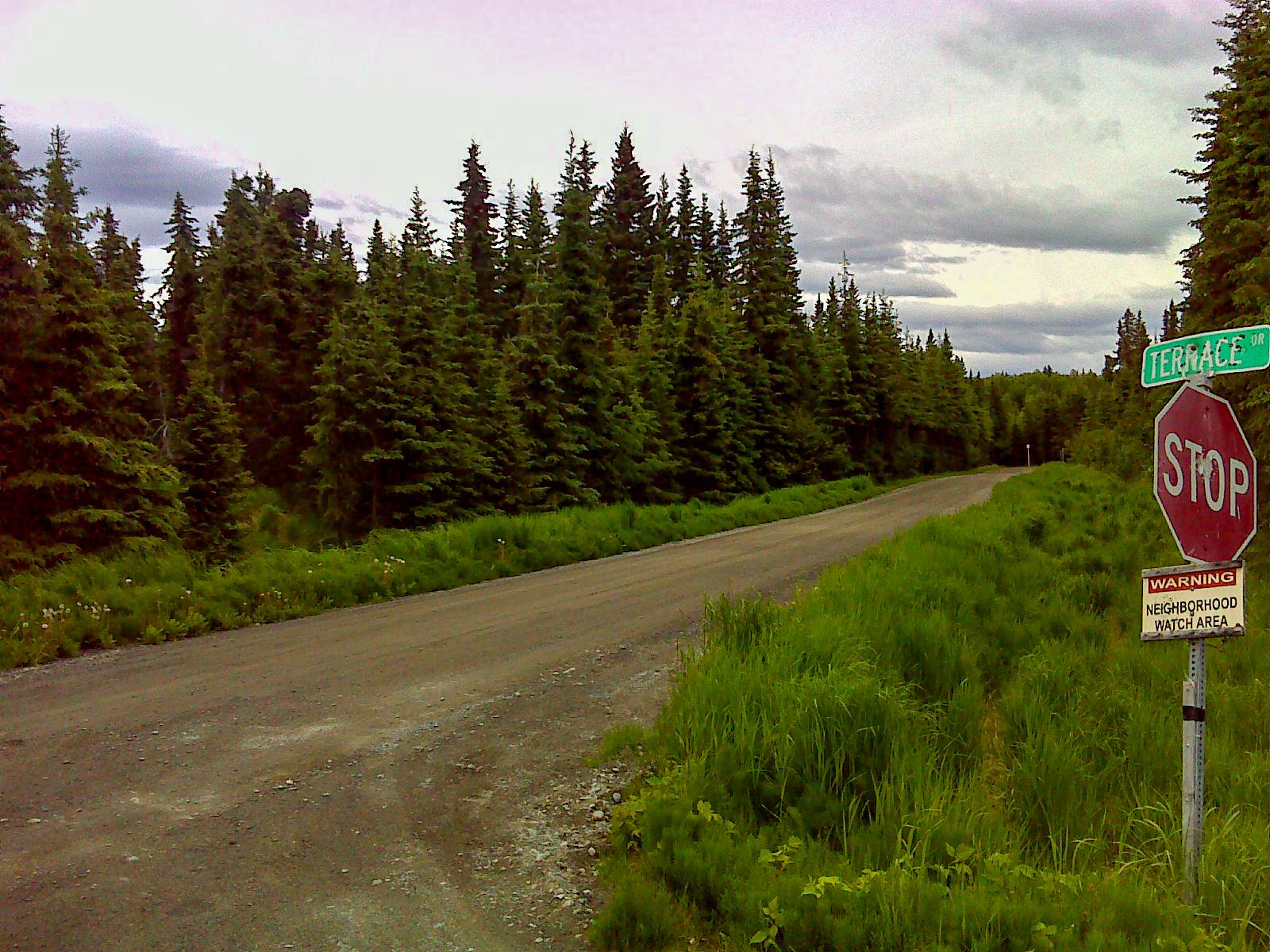
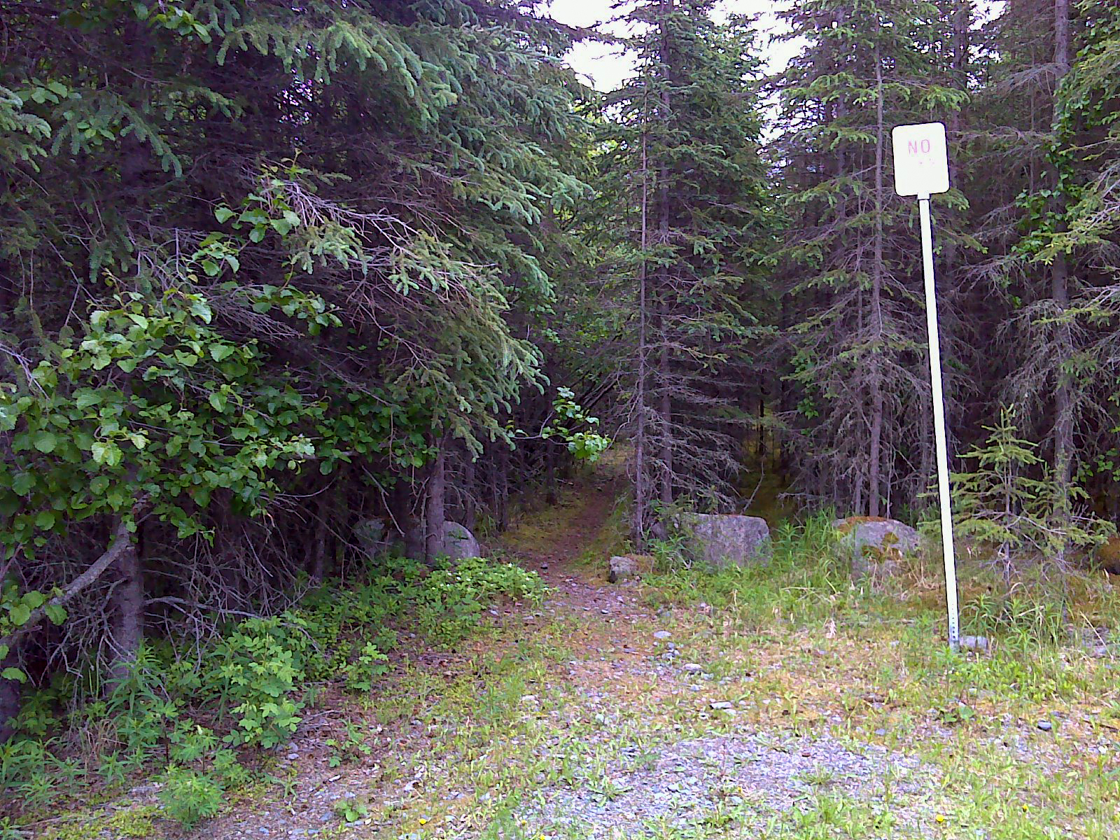
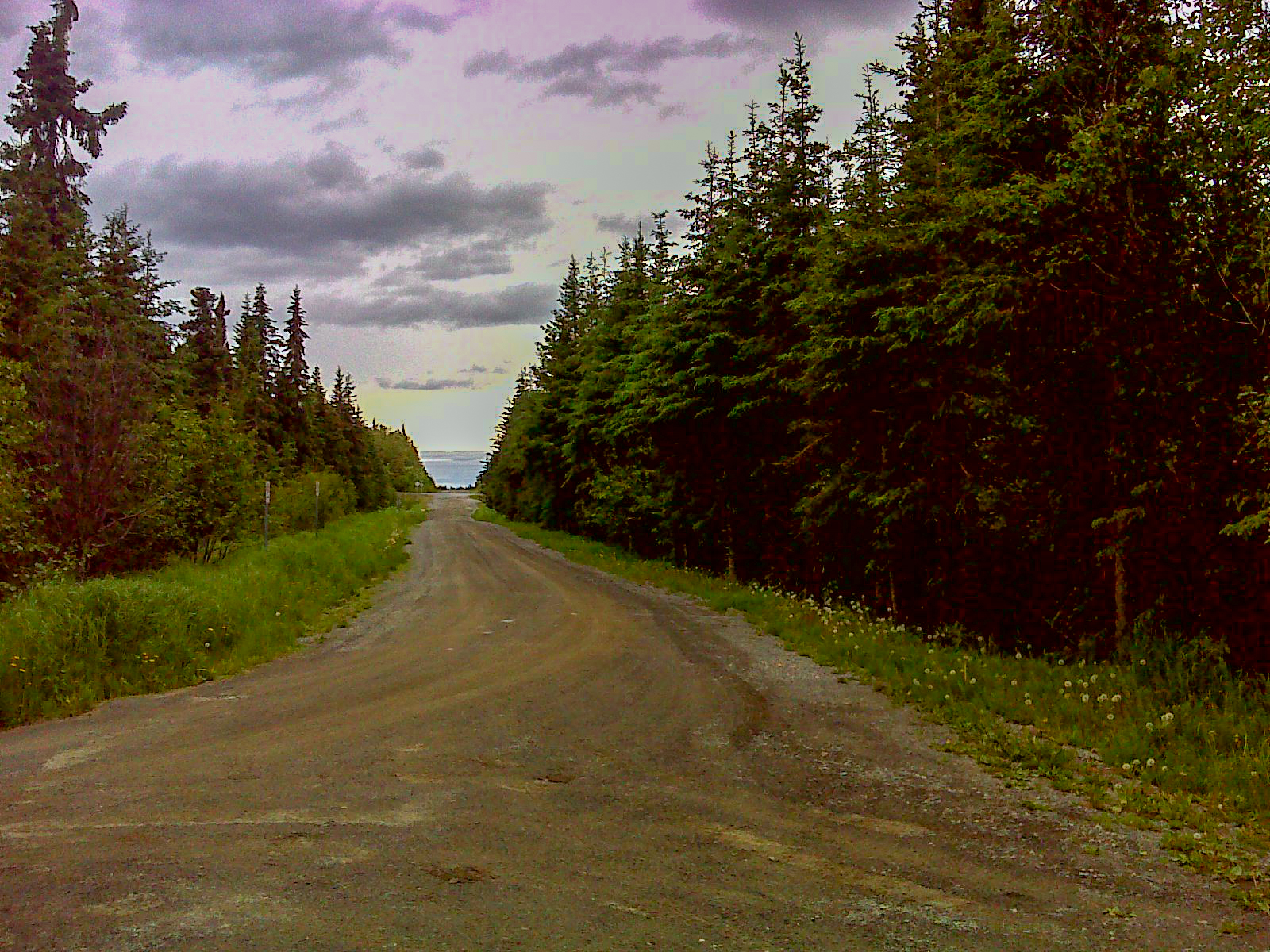
Access
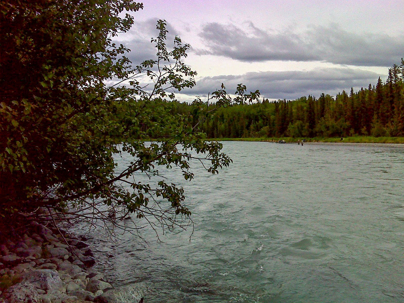
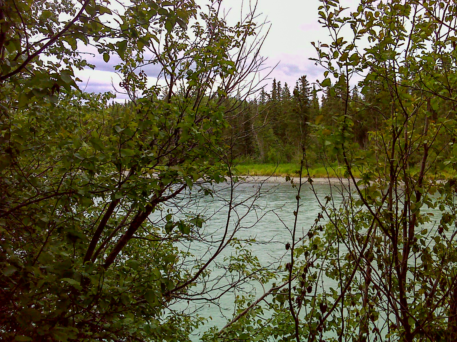
View
Easements
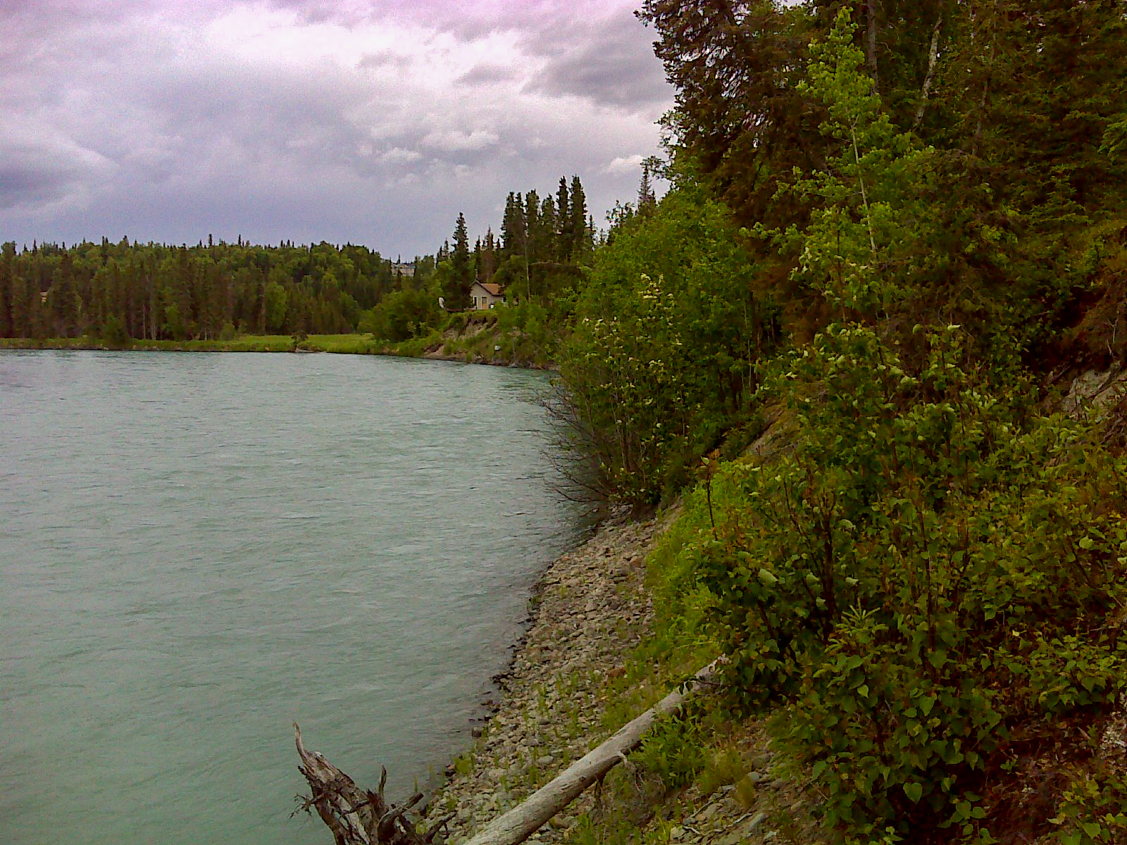
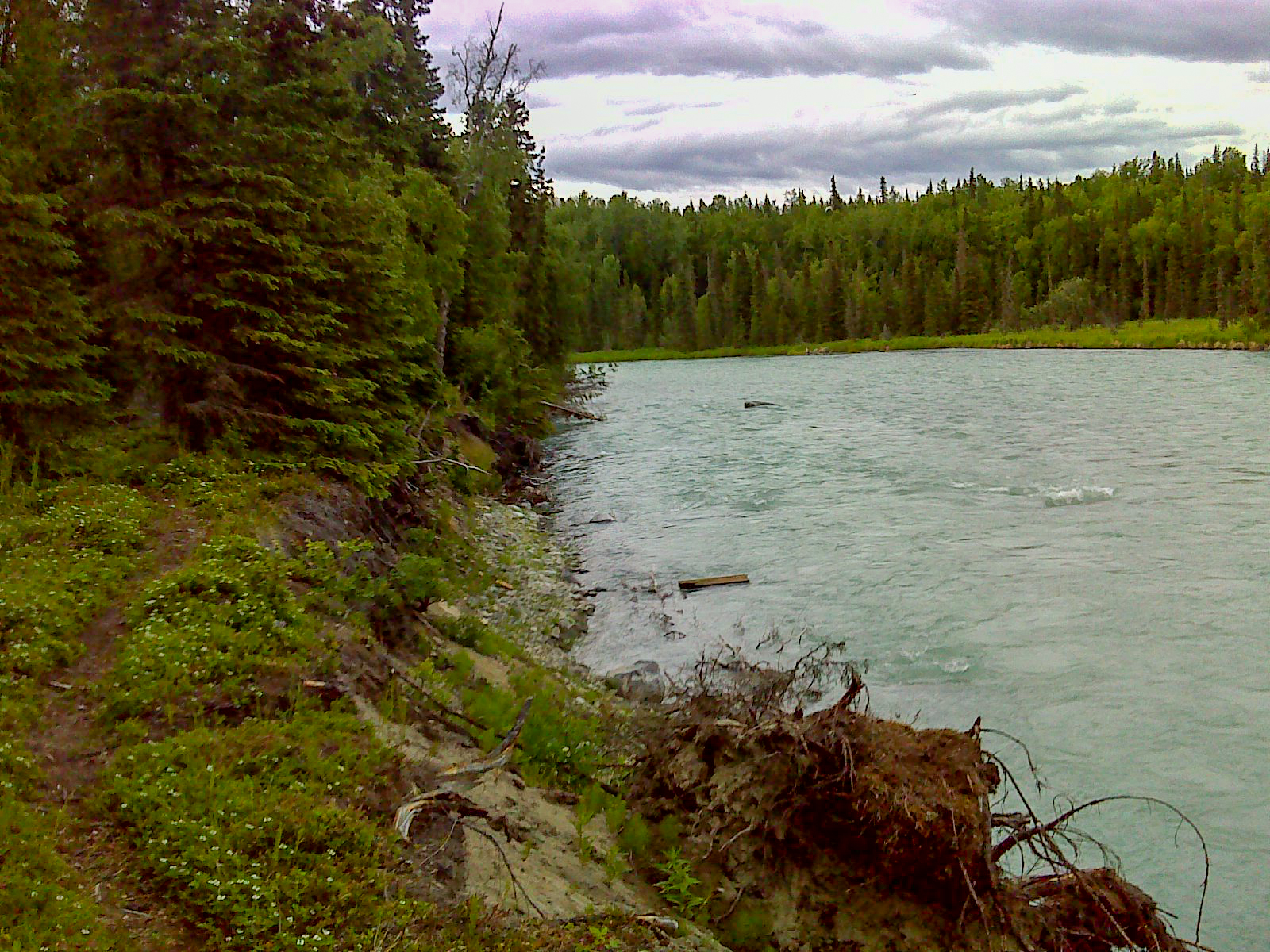
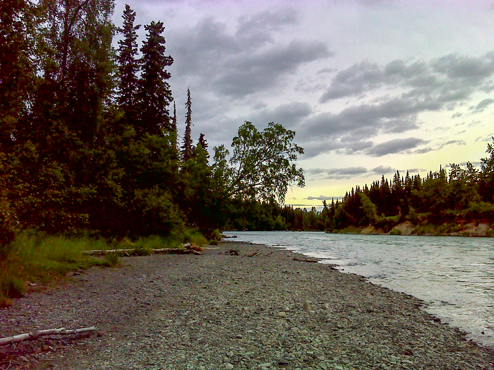
Water Frontage & Shape
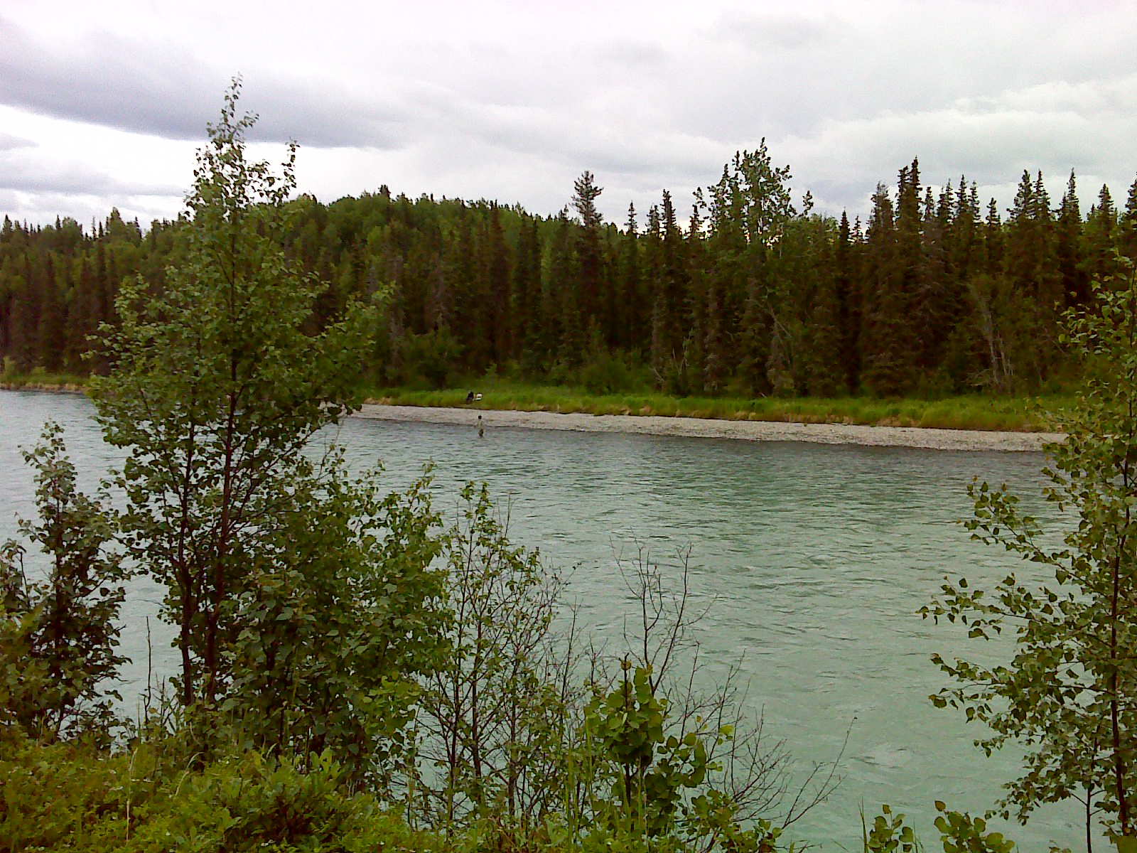
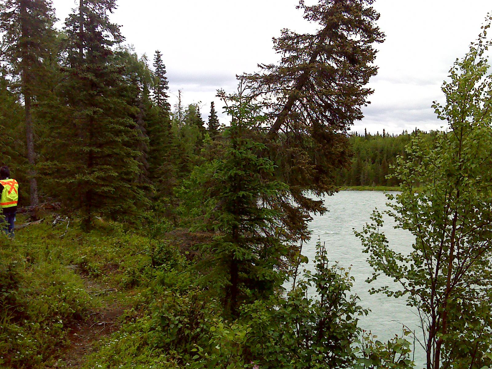
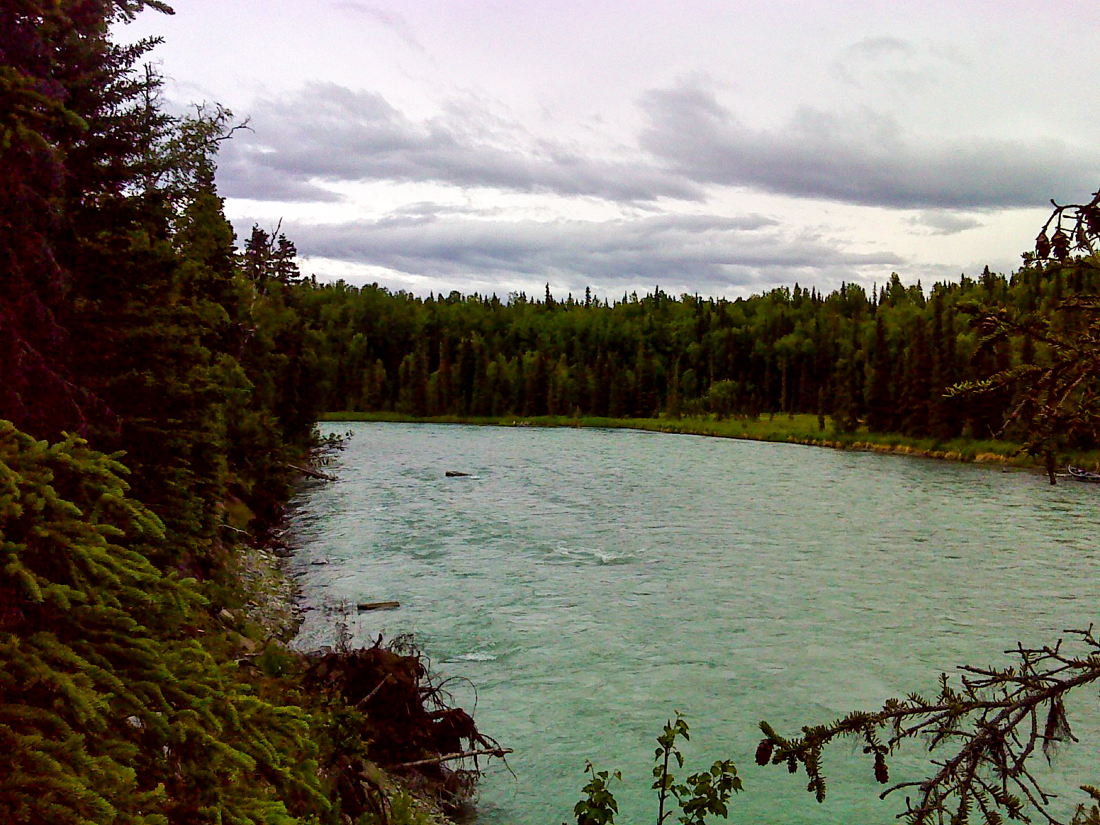
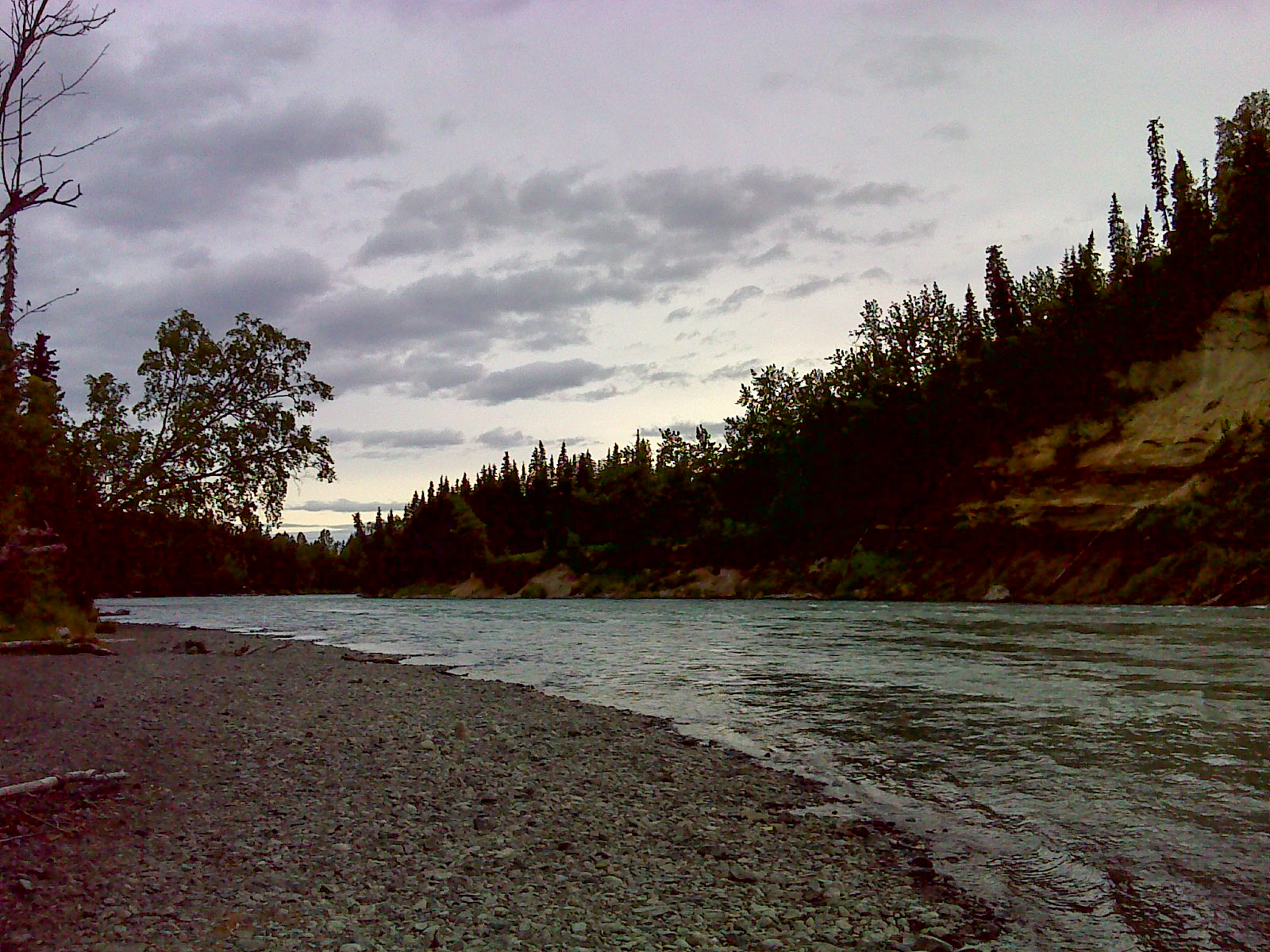
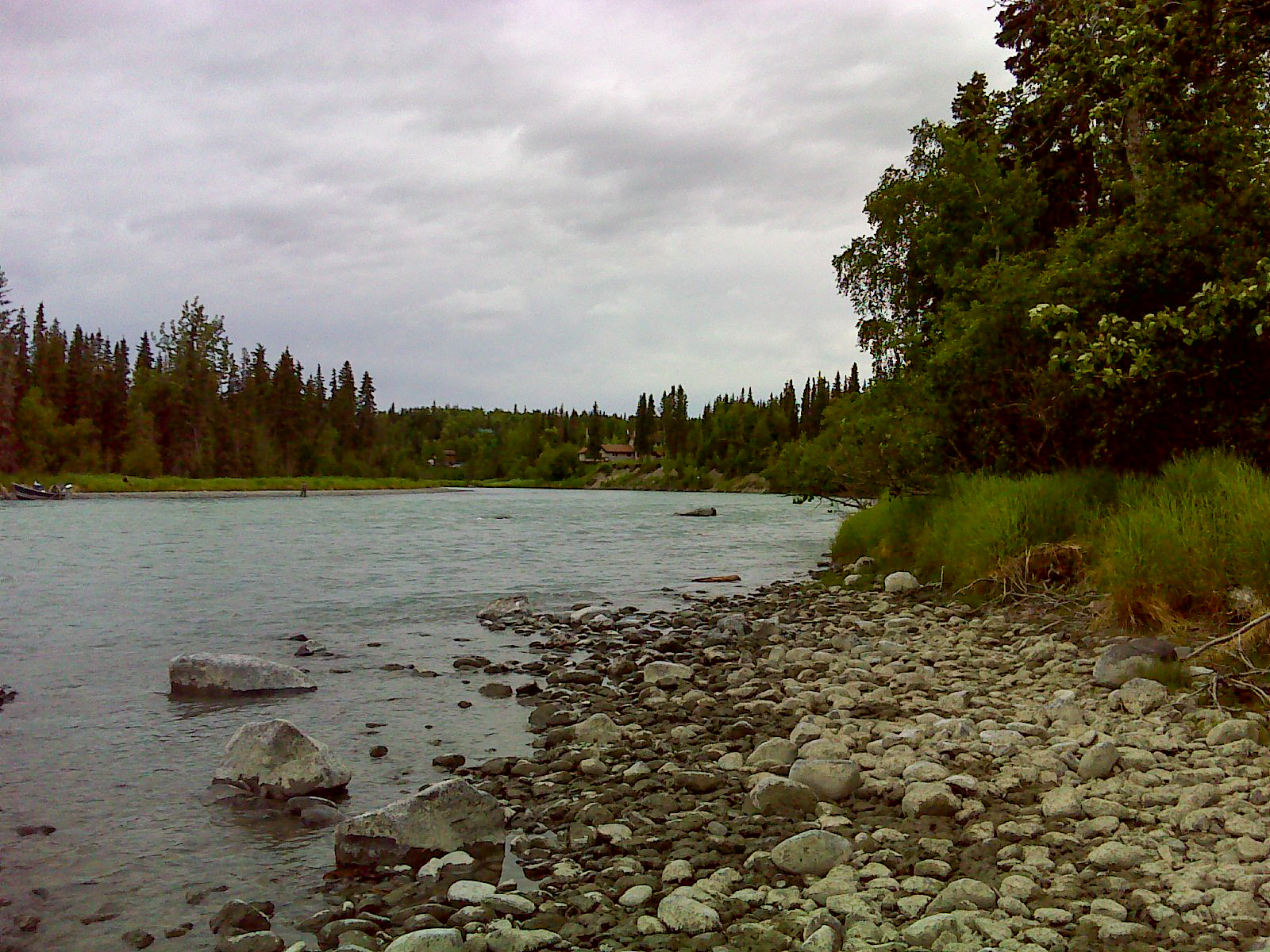
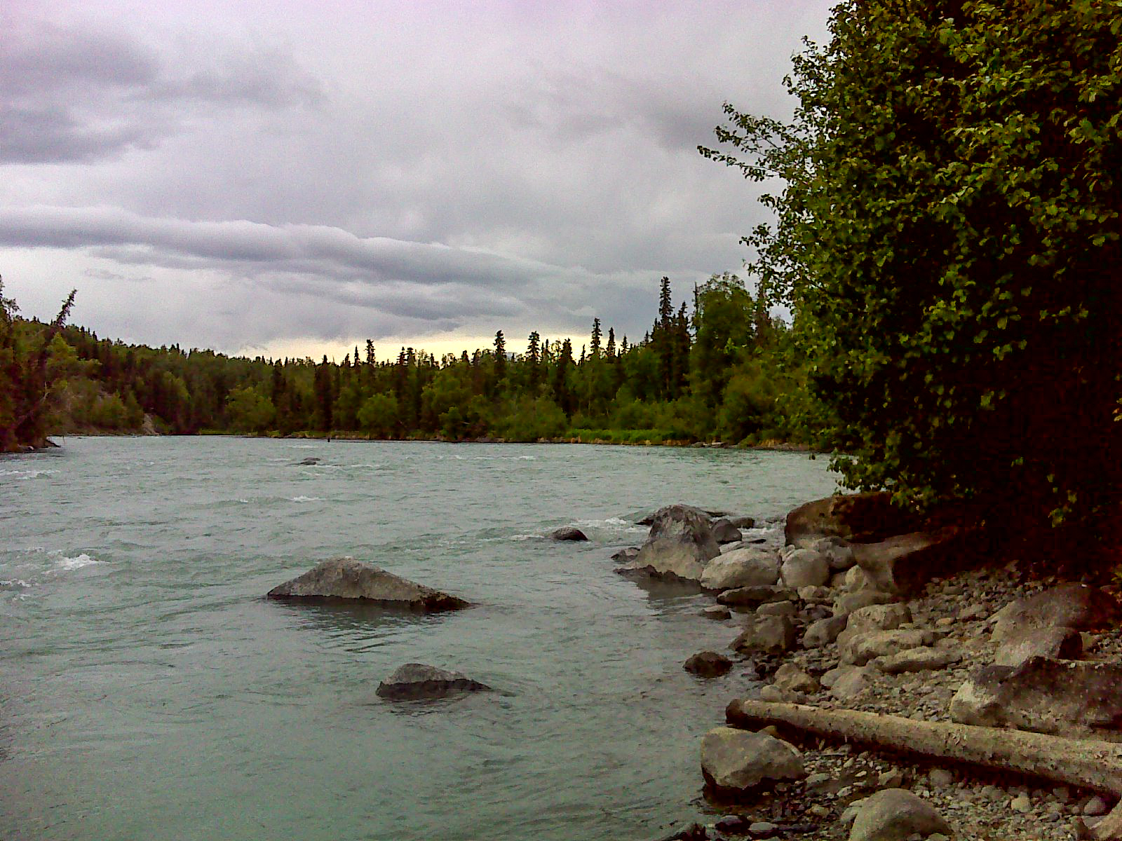
Located along the Kasilof River just east of Sterling Highway (±MP 109.5) at the northeast corner of Spetz Avenue and Terrace Drive in Kasilof, AK it is adjacent to a State of Alaska public boat launch.
The site is irregular shaped interior lot with adequate frontage to depth. The meander of the river frontage is approximately ±2,450’ on Kasilof River, and contains 19.95 acres, more or less.
Improvements or Trespass
Public Restrictions
Environmental Restrictions
Conservation Restrictions
Private Restrictions
Other Restrictions
Utilities
Topography
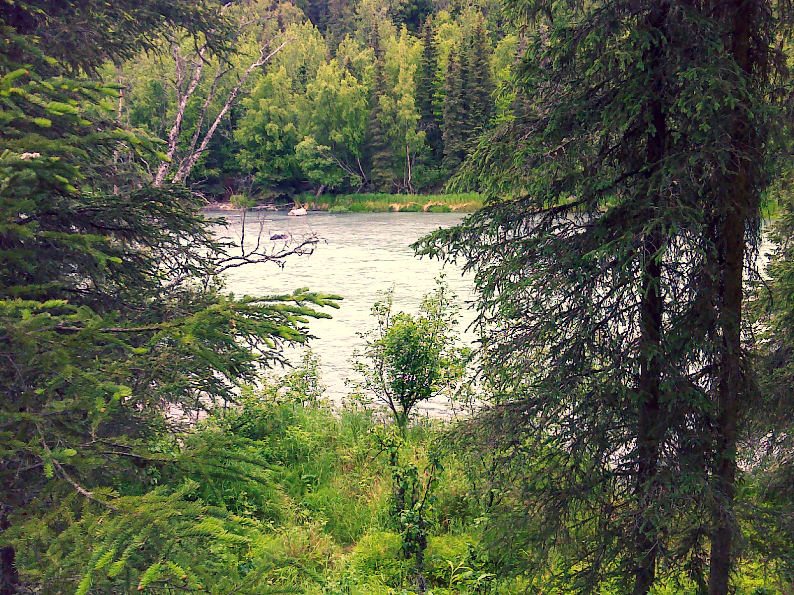
Hydrology
According to the National Wetlands Inventory, the subject has a minor area of Estuarine and Marine Wetland. According to the USGS Topographic map there does not appear to be any freshwater sources on the subject.
The National Wetlands Inventory (NWI) and Kenai Watershed Forum (KWF) overlays show between 10 to 30 percent Riverine wetlands along the Kasilof River.
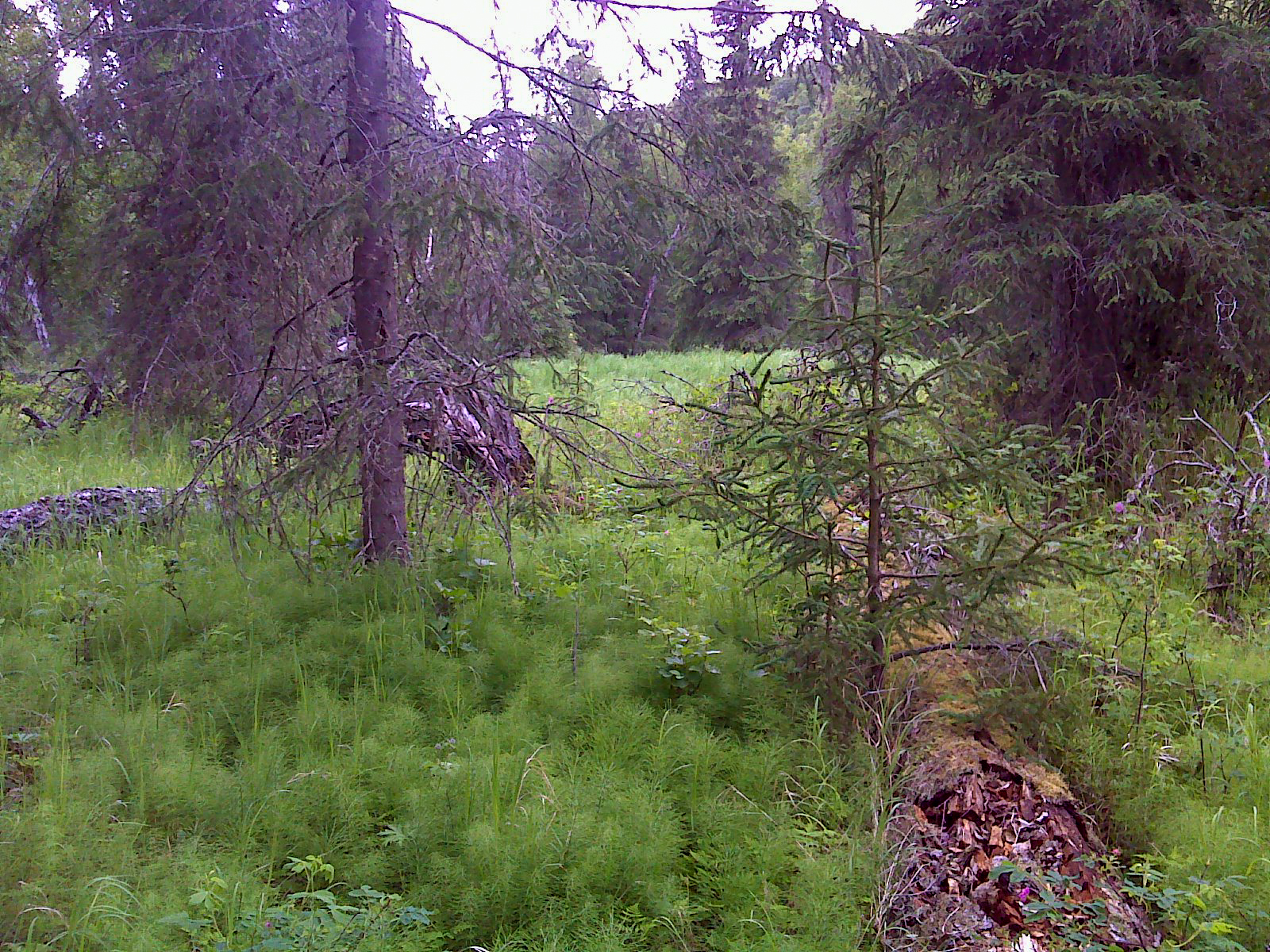
Soils
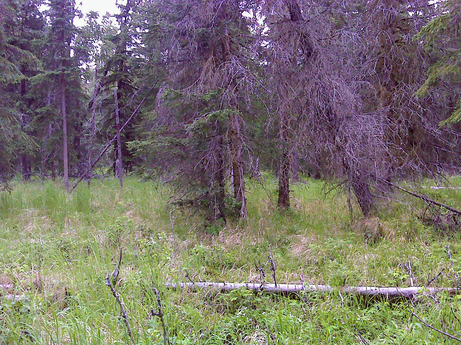
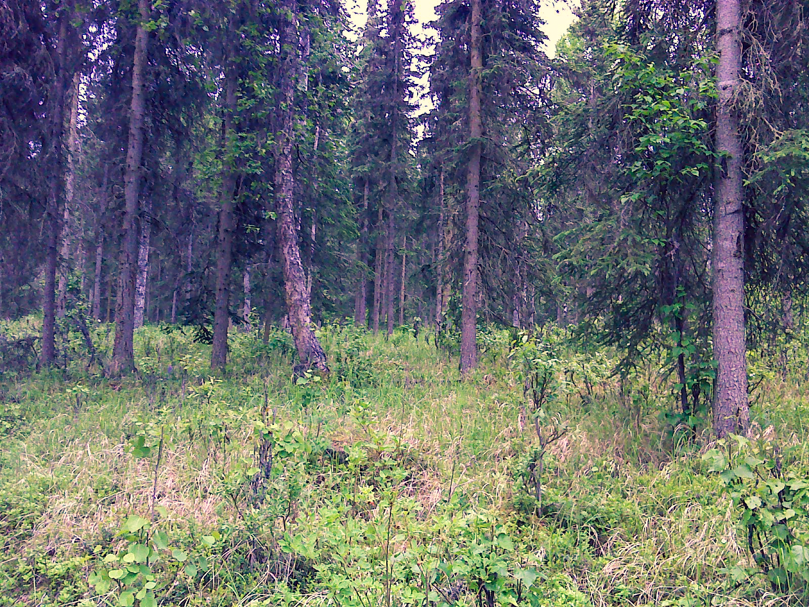
Vegetation
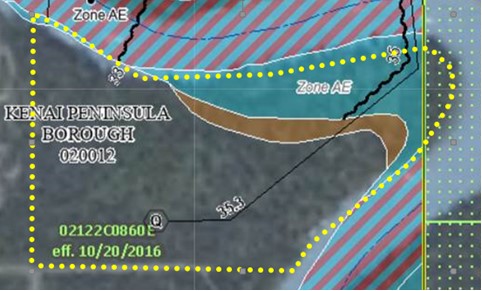
Flood Plain
Seismic
Environmental Issues
Suitability
The southwest corner of the parcel approximately 400’ east of the Sterling Highway (MP 109.5). It is adjacent to a public boat launch facility and has extensive frontage on the Kasilof River with an atypically high ratio of front-feet per-acre (FF/AC). Access is adequate, electricity is available, the soils/topographic conditions appear to be favorable and the area is un-zoned.
Given these conditions, the parcel is a unique property that appears to be suitable for rural residences, seasonal cabins, and commercial uses oriented to the visitor industry (e.g., camper/RV parks, lodging facilities, resident-commercial B & B’s and/or guiding operations).
Notes
Maps & Survey
- USRS S003N011W
Note: Maps included are for graphic representation only and are intended to be used as a guide. It is the responsibility of the purchaser to review recorded subdivision plats/maps, surveys, and plat notes for specific information on easements, building setbacks, or other restrictions that will affect any individual parcel. Information is made available at the Department of Natural Resources Public Information Centers or on the web at: http://dnr.alaska.gov/landrecords/