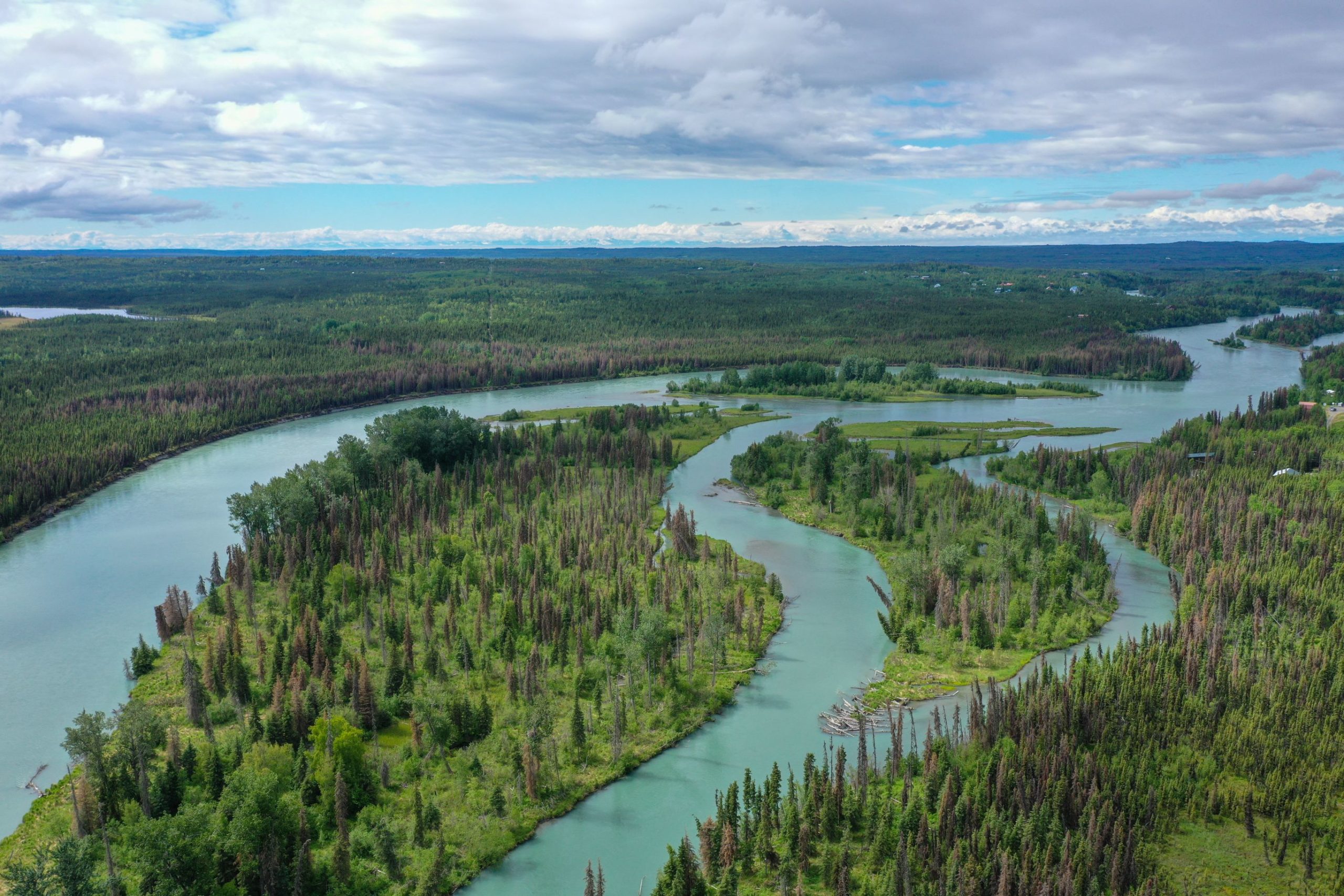
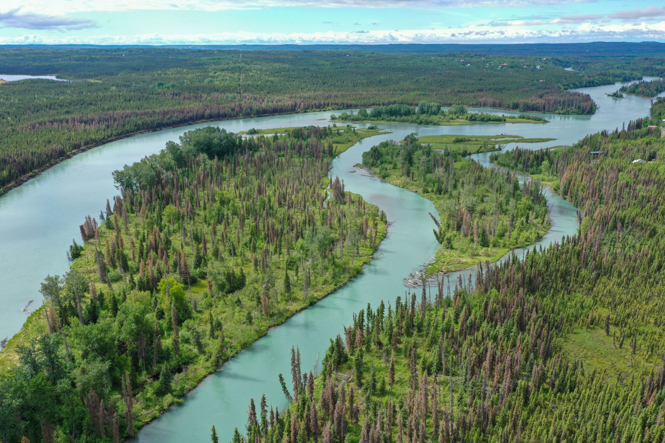
Kenai River
Location
Sterling is located on the Sterling Highway at the junction of the Moose and Kenai Rivers, 18 miles east of the City of Kenai. Sterling falls within the gulf coast transitional climate zone, characterized by a semi-arid atmosphere, long, cold winters, and mild summers.
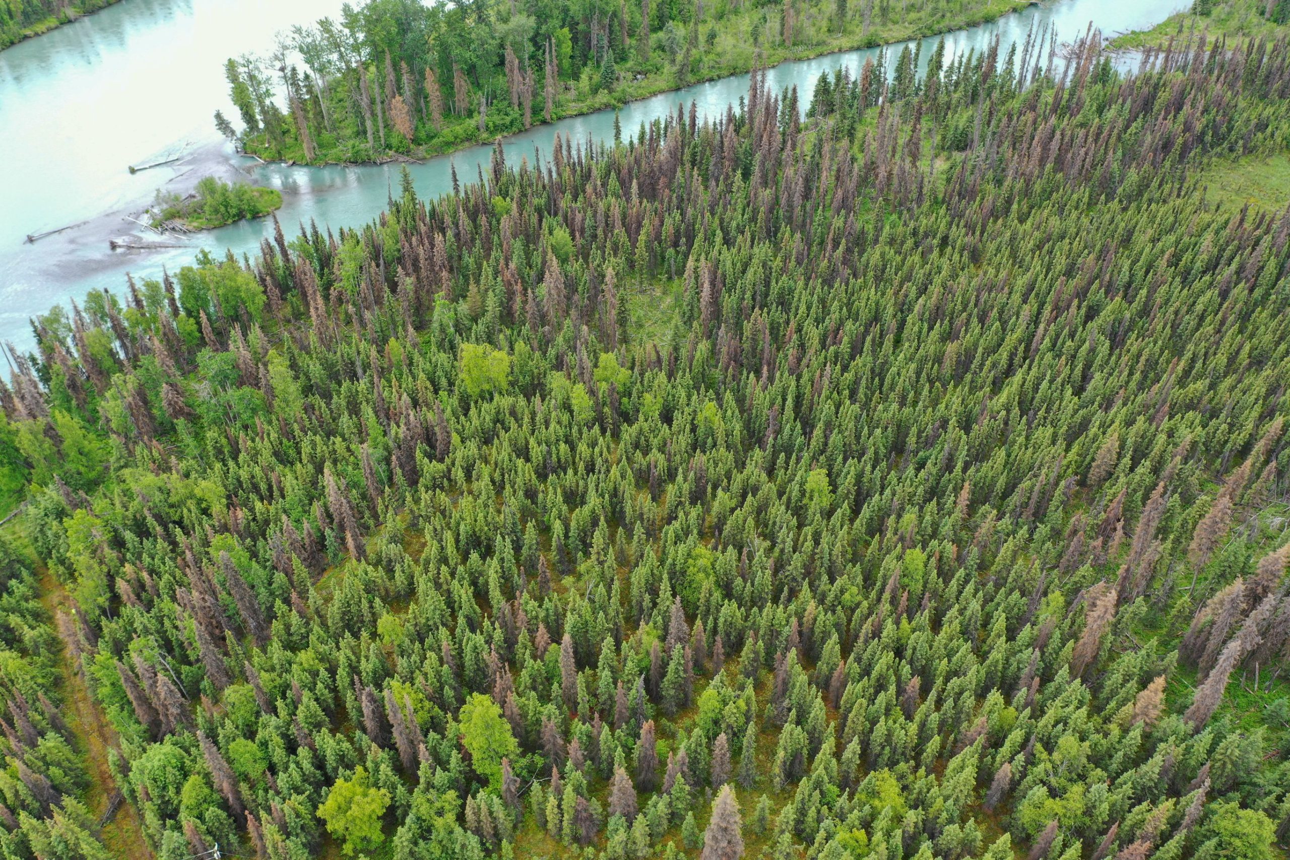
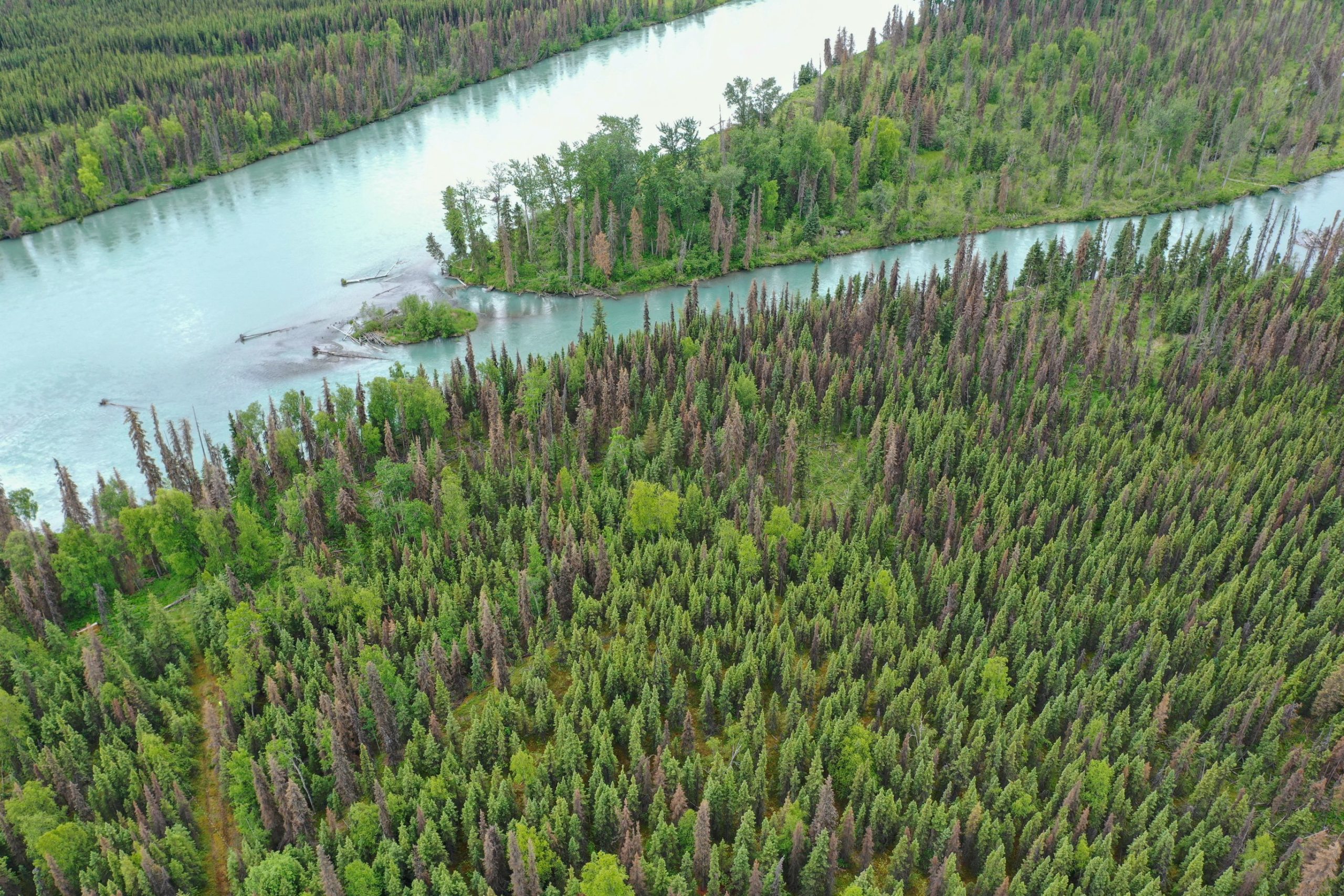
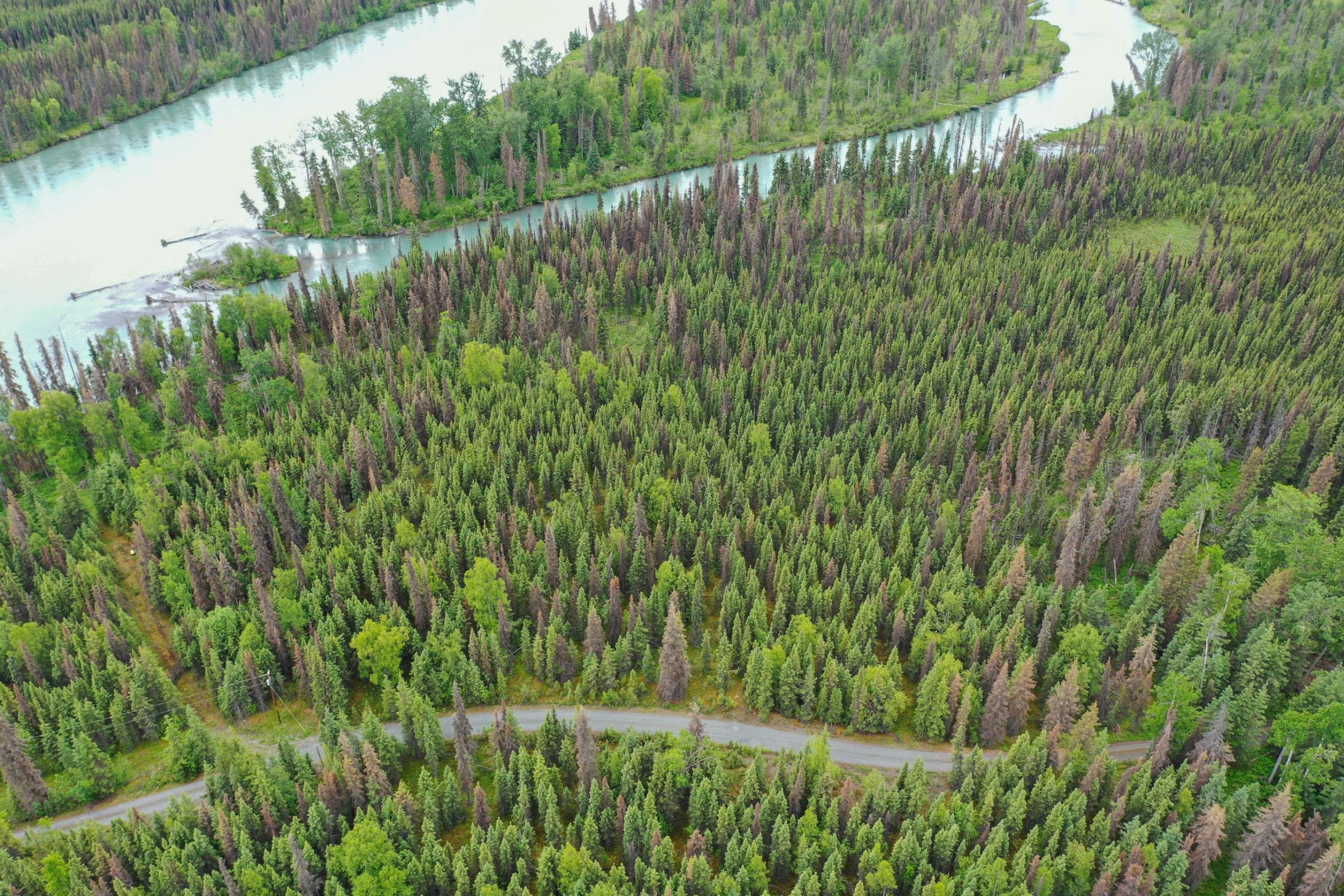
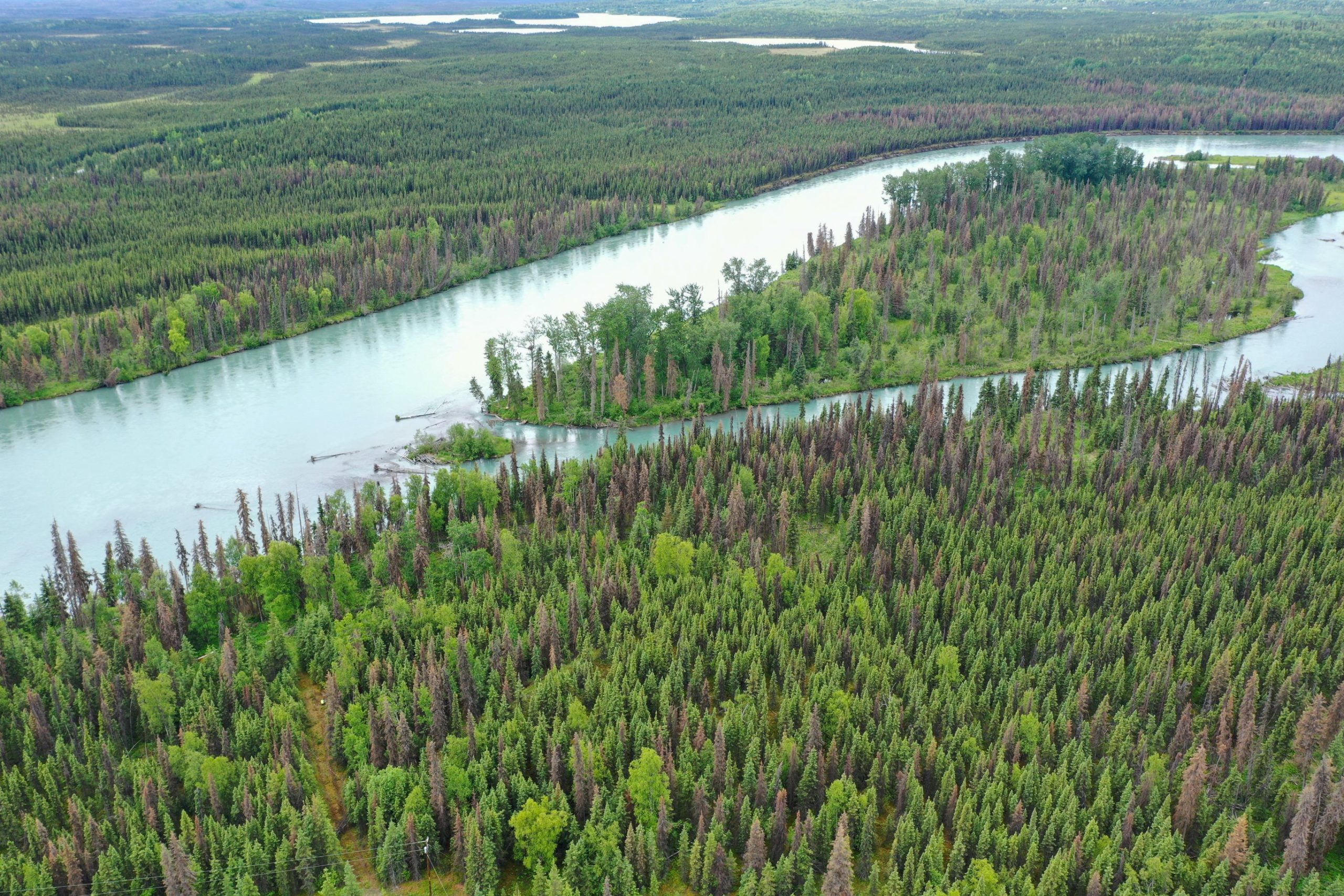
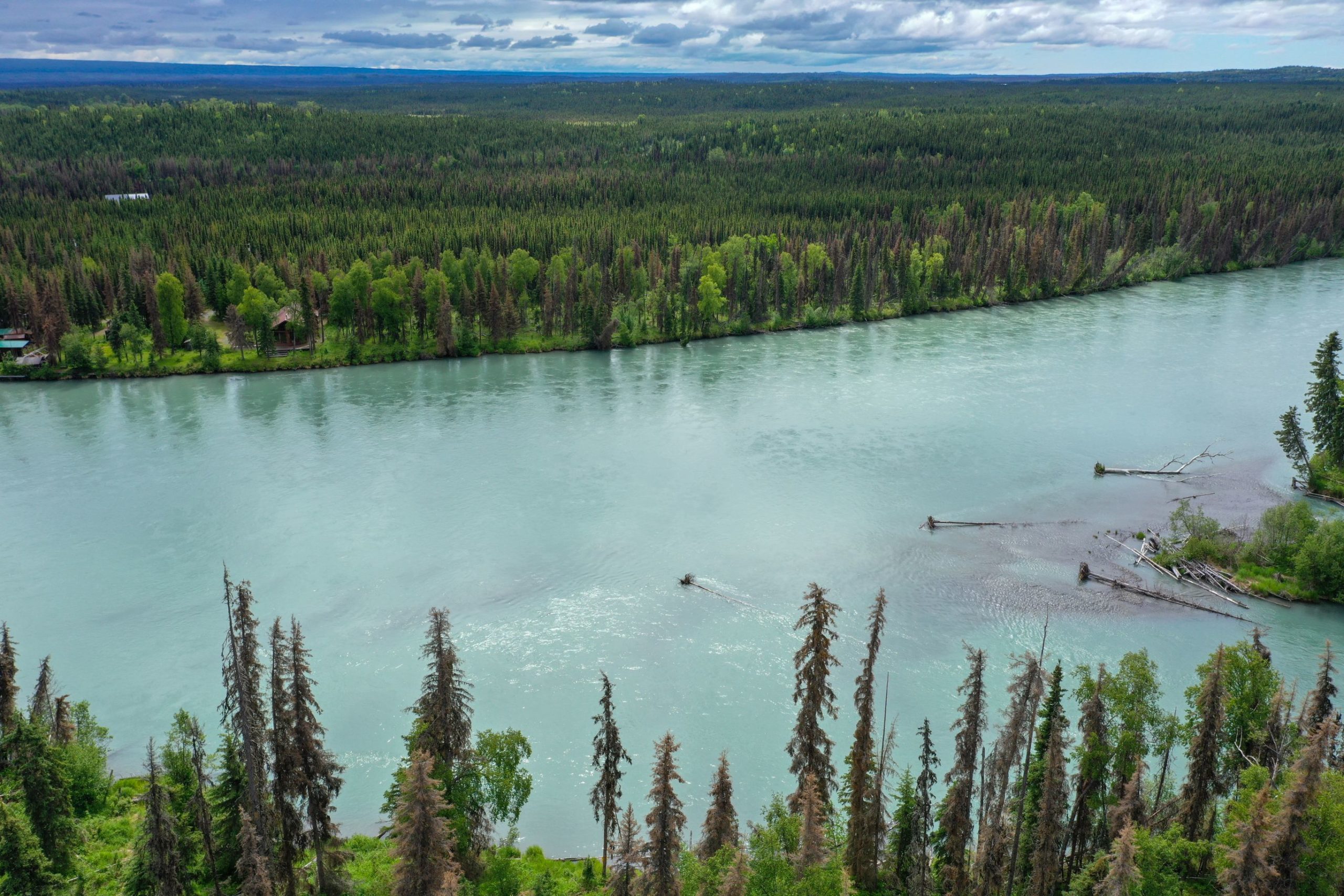
The Kenai River is the predominant attraction on the Kenai Peninsula. It is the most heavily fished river in Alaska. In recent years, an average of 275,000 angler-days of participation have been recorded.
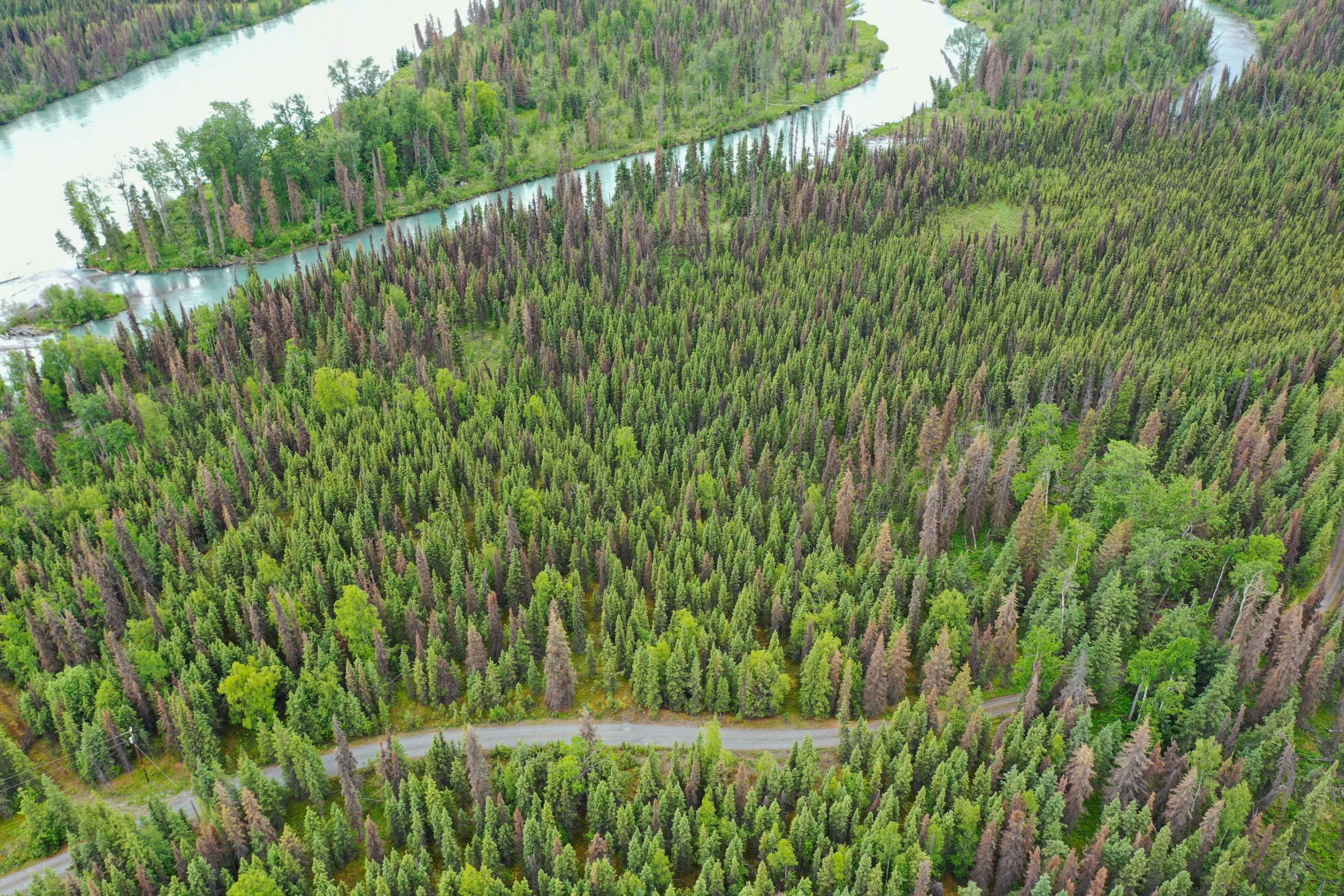
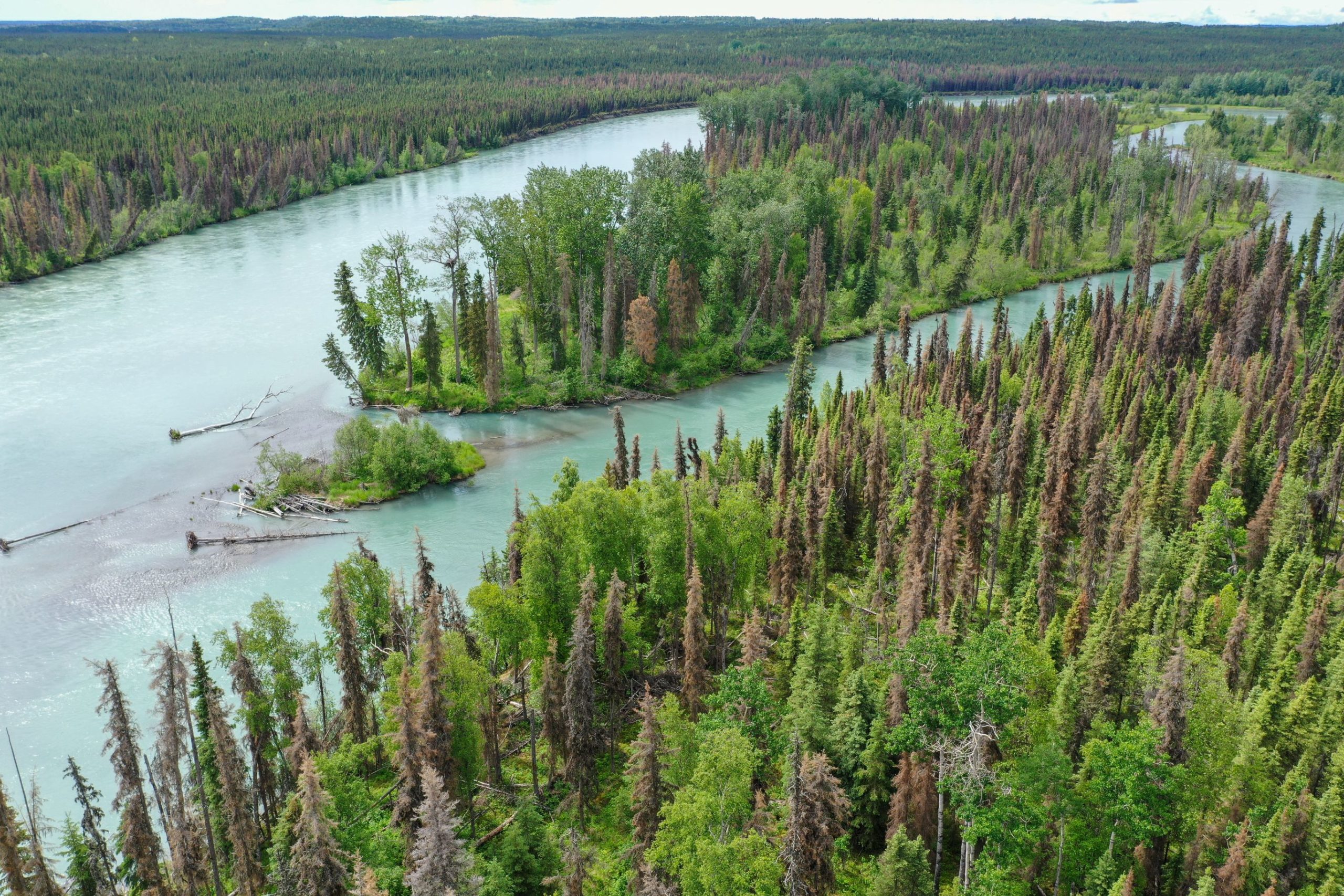
Trust lease parcel 9200355 is located in the middle segment of the Kenai River. The outlet of Skilak Lake to the community of Soldotna is referred to as the “Middle River.”
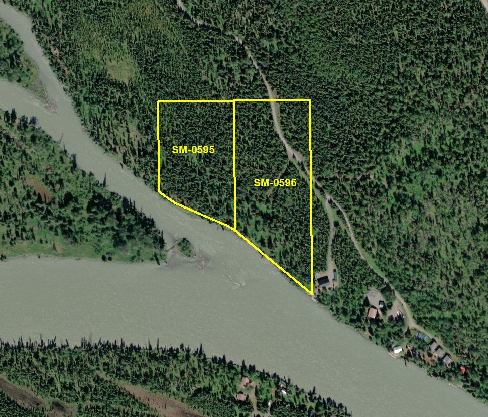
Parcel 9200355
- 9.075 acres
- Mental Health Trust Parcel Number: SM-0595 and SM-0596
- Kenai Peninsula Borough Tax ID: 06518102 & 06518103
- Located in Sections 22 and 27, Township 5 North, Range 8 West, Seward Meridian, Alaska
- Survey: Lots 19A and 19B, EPF 36-27.
- Minimum Annual Rent Bid: $90,000.00


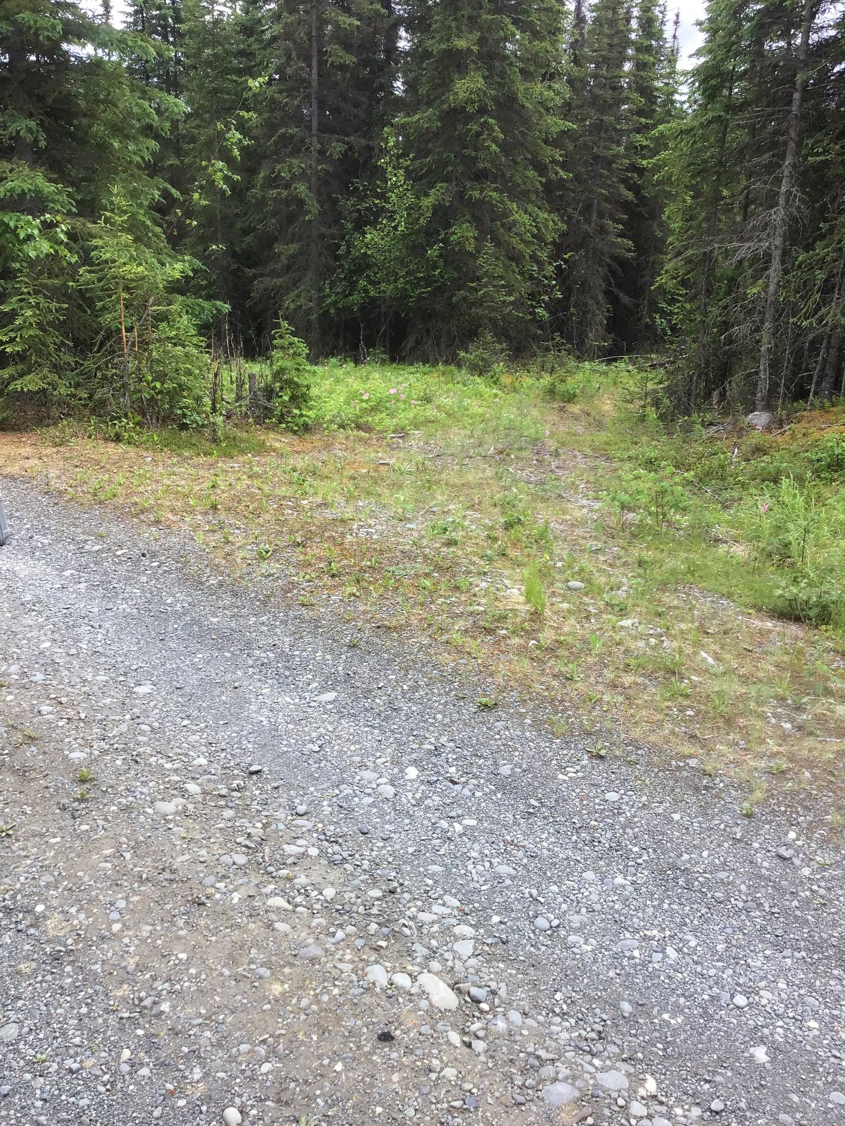
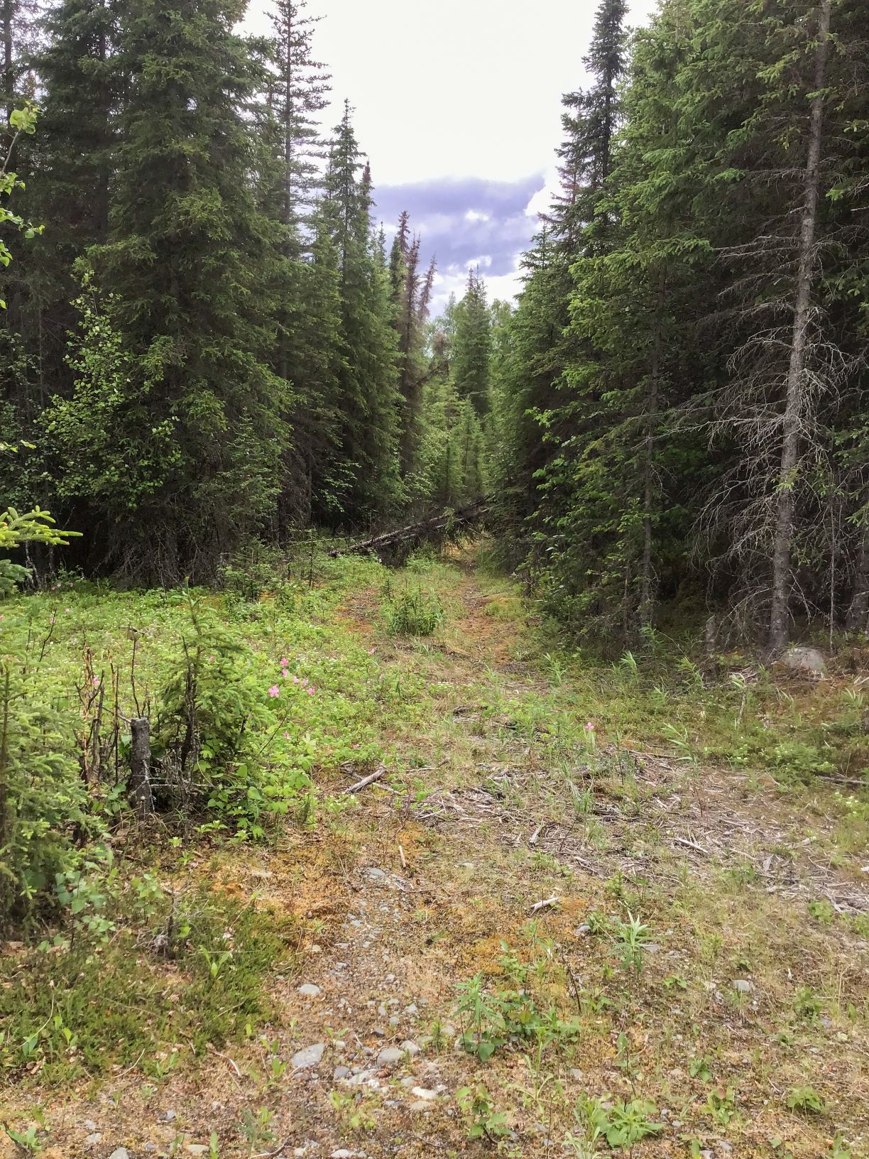
Access
View
Easements
Water Frontage & Shape
The parcel is approximately 660’ wide. The diagonal frontage on the main river and a side-channel approximates 800’.
The shape is irregular.
Improvements or Trespass
Public Restrictions
Environmental Restrictions
Conservation Restrictions
Private Restrictions
Other Restrictions
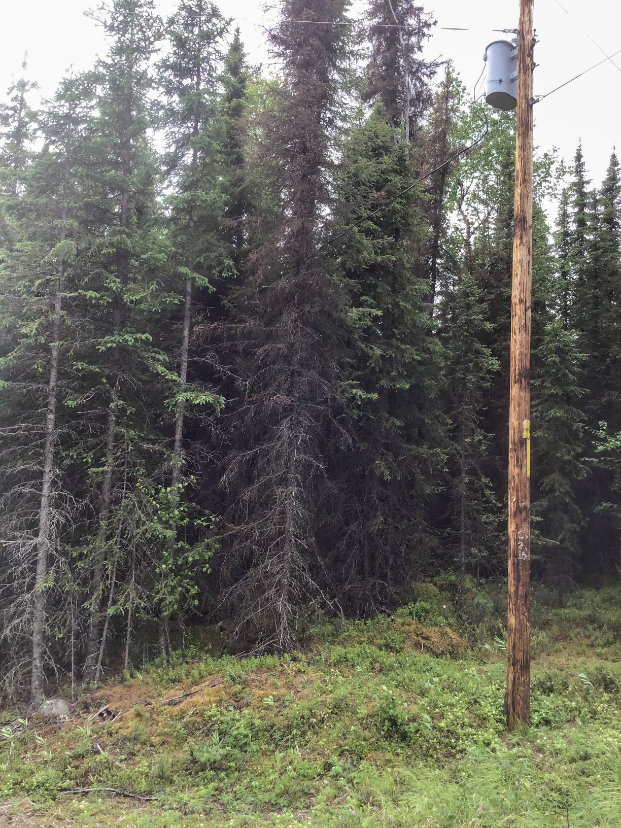
Utilities
Topography
Hydrology
Soils
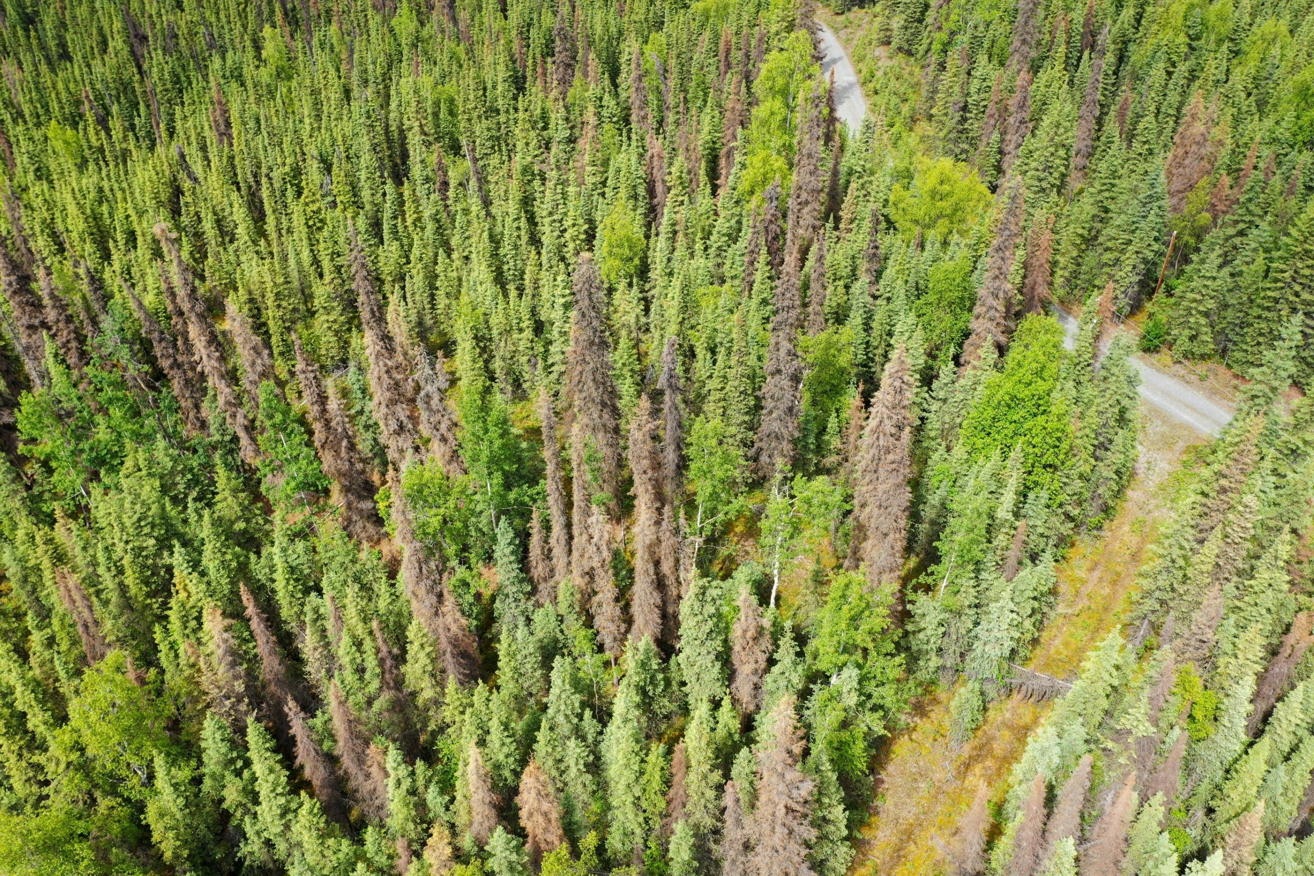
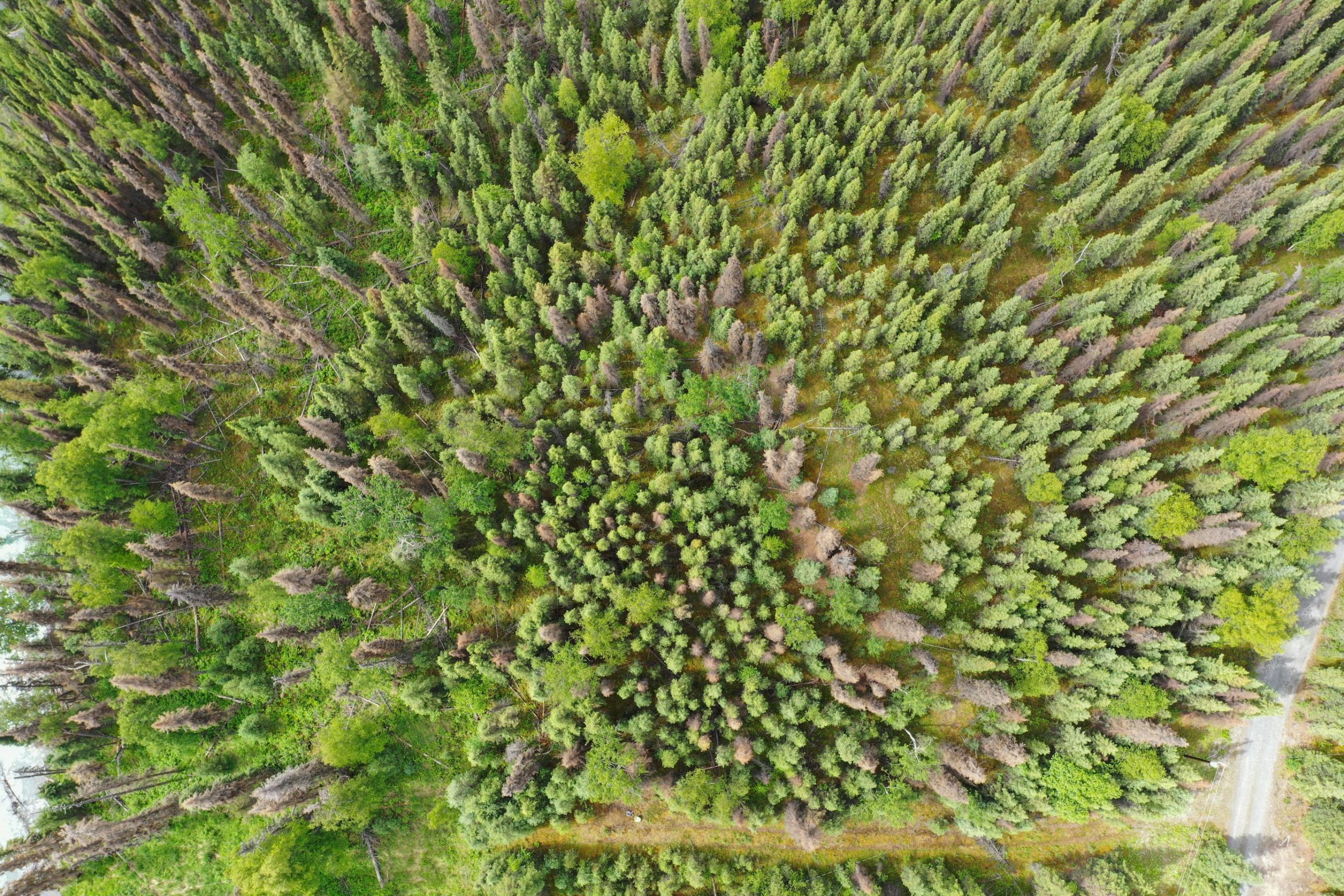
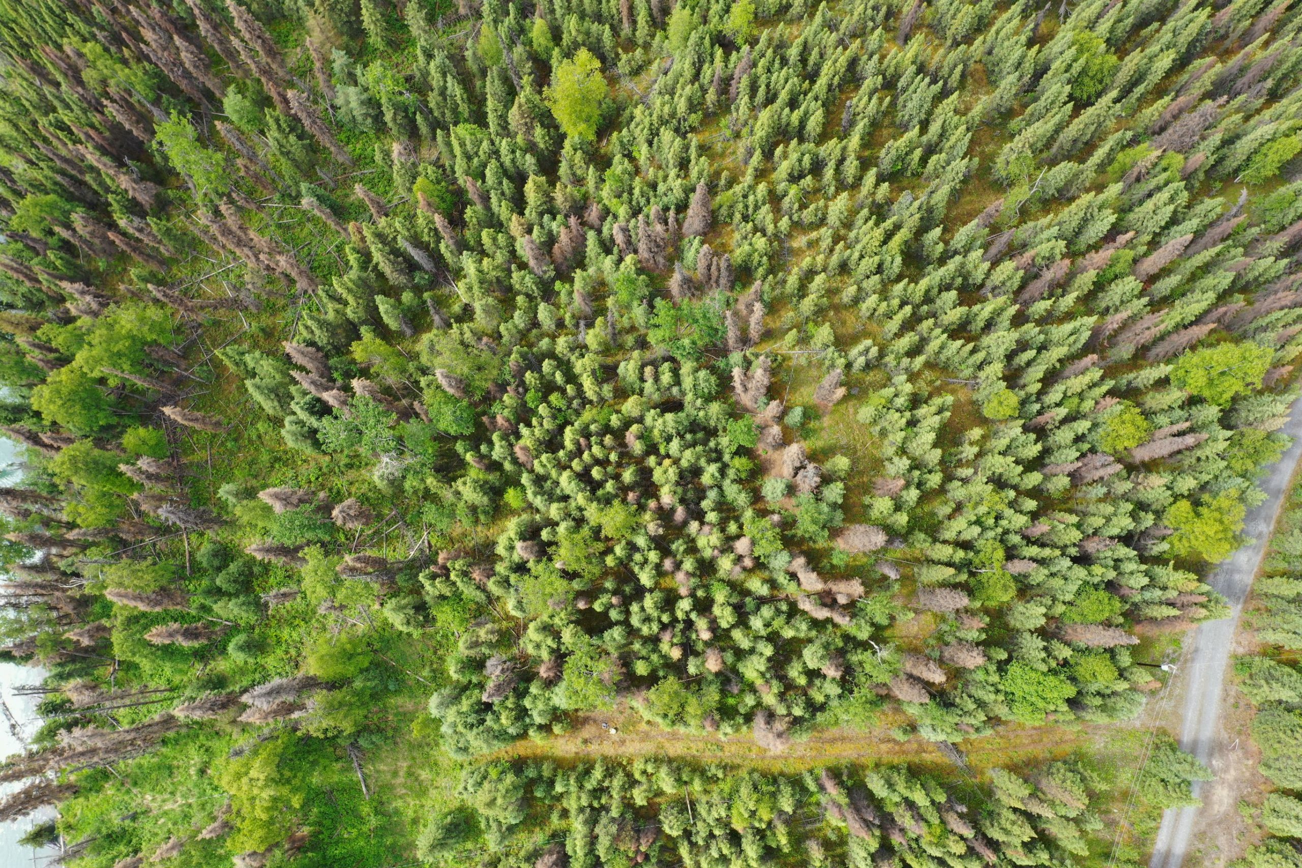
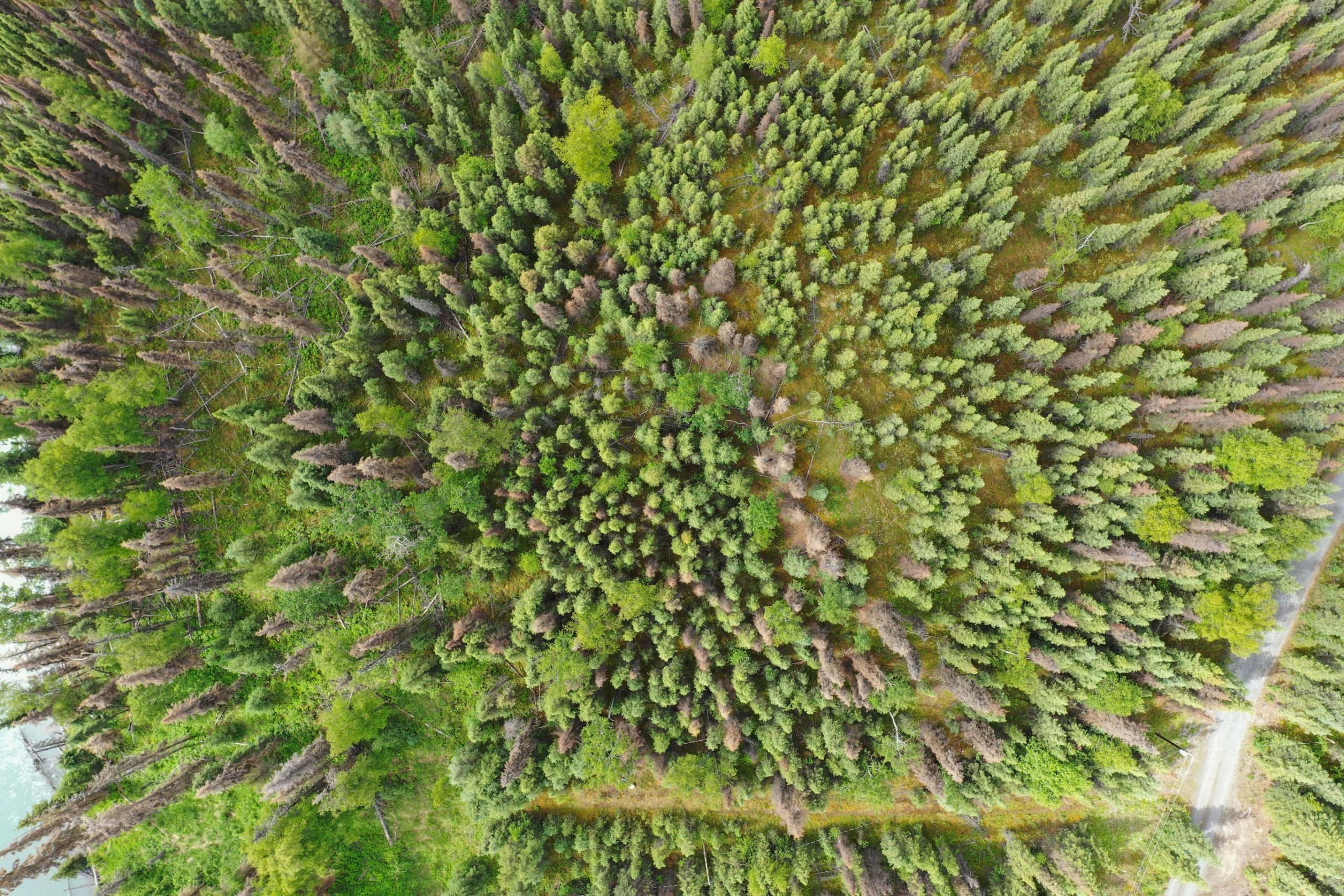
Vegetation
Flood Plain
Seismic
Environmental Issues
Suitability
Notes
Maps & Survey
- EPF 36-27
Note: Maps included are for graphic representation only and are intended to be used as a guide. It is the responsibility of the purchaser to review recorded subdivision plats/maps, surveys, and plat notes for specific information on easements, building setbacks, or other restrictions that will affect any individual parcel. Information is made available at the Department of Natural Resources Public Information Centers or on the web at: http://dnr.alaska.gov/landrecords/