OTC: Glennallen (MHT 9200861)
MHT Number
: 9200861Purchase Price
: $28,750.00Parcel Acres
: 14.870Lot
: Tract MParcel Road Access
: NoMH Parcel Number
: C80822Survey
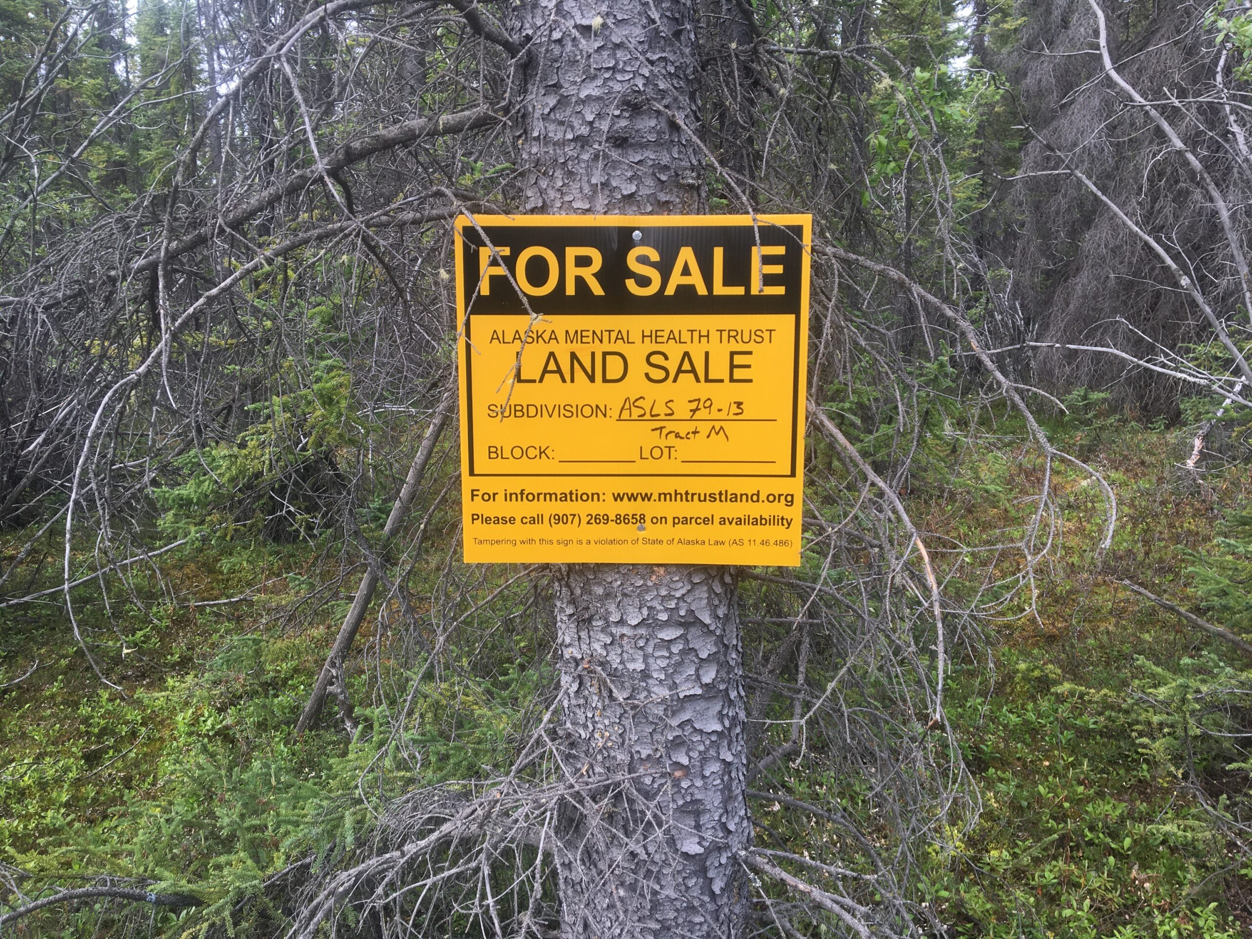
: ASLS 79-13MTRS
: C004N001W18Region:
SouthcentralGeneral Location:
GlennallenLocation:
The city of Glennallen is approximately a 3.5 hour drive north from Anchorage, AK on the Glenn Highway. The Chugach Mountain Range is to the southeast of the highway and Wrangell-St. Elias can be seen heading north on the highway. The views are picturesque and travelers get an opportunity to see a part of what Alaska has to offer on their way to Glennallen. The broad mountain ranges and rivers are breathtaking. Glennallen is the gateway to Wrangell St. Elias National Park, the largest National Park in the United States. Travelers frequently stop in Glennallen for fuel, supplies, and/or medical care as they travel through the State. Glennallen is the supply hub of the Copper River region. State highway maintenance and federal offices are in Glennallen.
How to Access
The parcel is located to the west of milepost 116.5 of the Richardson Highway; approximately 1.5 miles north of Glennallen and the intersection of the Glenn and Richardson Highways and in the vicinity of the Trans Alaska Pipeline corridor. The Pipeline access road is a private right-of-way. Platted access from the Richardson Highway is partially cleared and suitable for ATV/ORV use.
Utilities
Electricity is generally not available in the area of the parcel; however, may be developed from the existing line approximately .5 miles to the east at the Richardson Highway. There is no public sewer or water to the parcel. Septic systems have to be developed on-site and meet the Alaska Department of Environmental Conservation (DEC).
Muni/Borough Authority
The lots are located outside an organized borough or municipality. Properties are not subject to zoning or real estate taxes.
Additional Notes
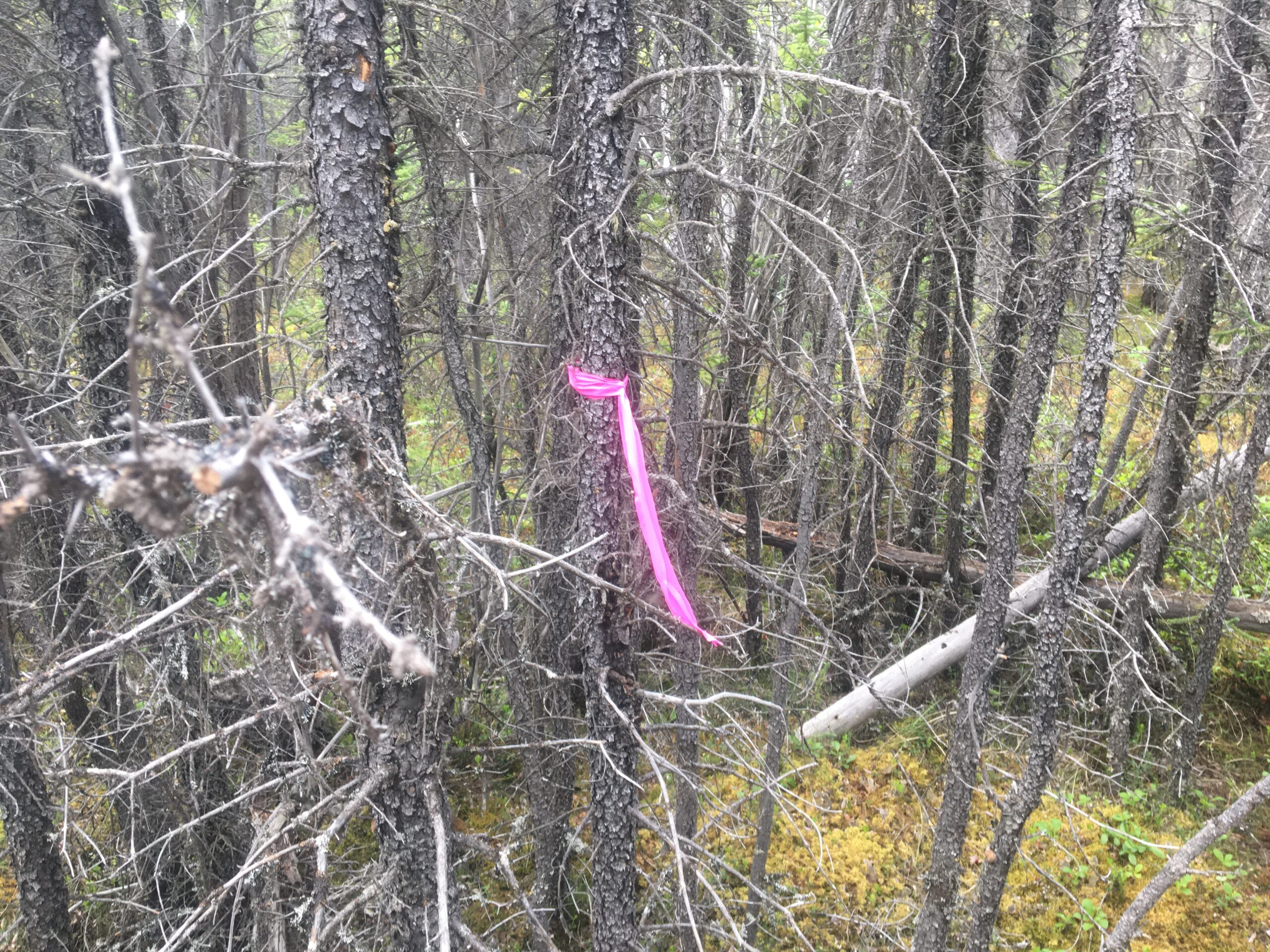
A 50 foot section line easement is on the western boundary of the parcel and a 10′ utility easement is on all lot lines. The dedicated rights-of-was are undeveloped. Access is generally by foot or ATV/ORV, approximately .50 miles from the Richardson Highway.
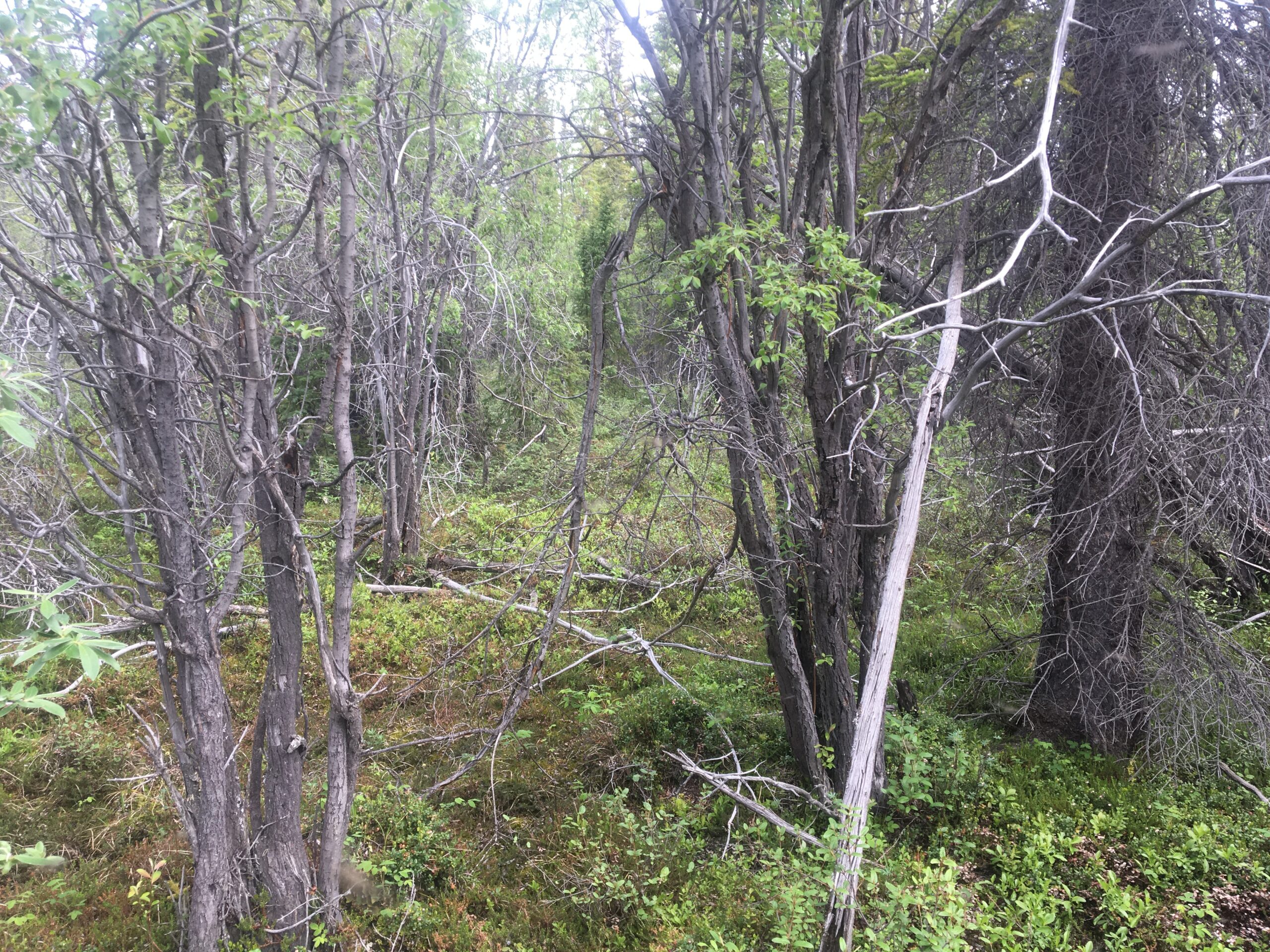
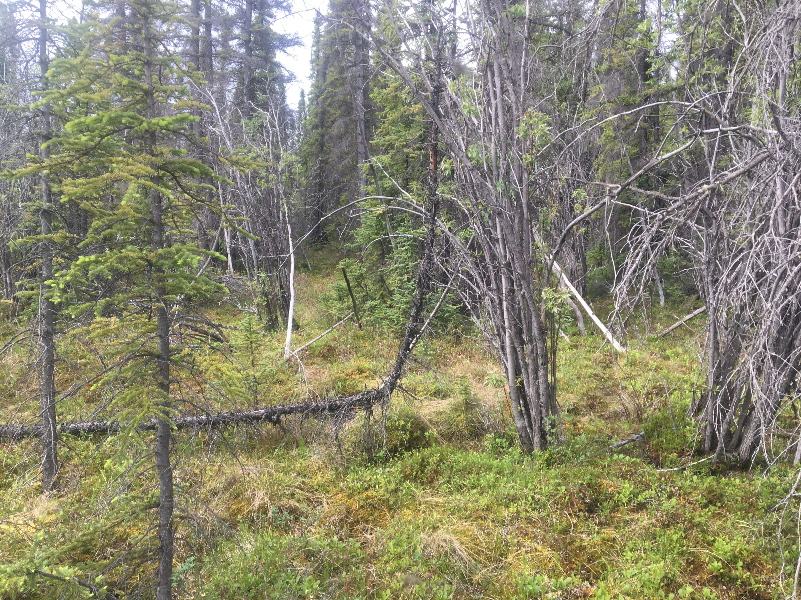
The parcel is relatively flat and vegetation consists of black spruce, low brush, shrubs, and grasses. It is noted that although no wetlands are reported for the parcel, semi-wet areas are present but uplands appear suitable for rural cabins or recreational infrastructure.
To view the parcel on the interactive map, please click the link: Parcel Viewer
Maps and Survey
ASLS 79-13
Note: Maps included are for graphic representation only and are intended to be used as a guide. It is the responsibility of the purchaser to review recorded subdivision plats/maps, surveys, and plat notes for specific information on easements, building setbacks, or other restrictions that will affect any individual parcel. Information is made available at the Department of Natural Resources Public Information Centers or on the web at: http://dnr.alaska.gov/landrecords/
How to Purchase
For information on how to purchase this parcel, please visit and review the posted Policy and Procedures for the Over the Counter Land Sales.