2025 Fall Land Sale Auction: Nikiski – Wonder View Subdivision (MHT 9200832)
Alternate Sale Procedure
: NoMHT Number
: 9200832Minimum Bid
: $83,750.00Parcel Acres
: 4.598Lot
: 2Parcel Road Access
: NoMH Parcel Number
: A portion of SM-1104Survey
: TLS 2023-04MTRS
: S007N011W04Region:
SouthcentralGeneral Location:
Kenai PeninsulaCommunity/Subdivision (S/D):
Nikiski - Wonder View SubdivisionLocation:
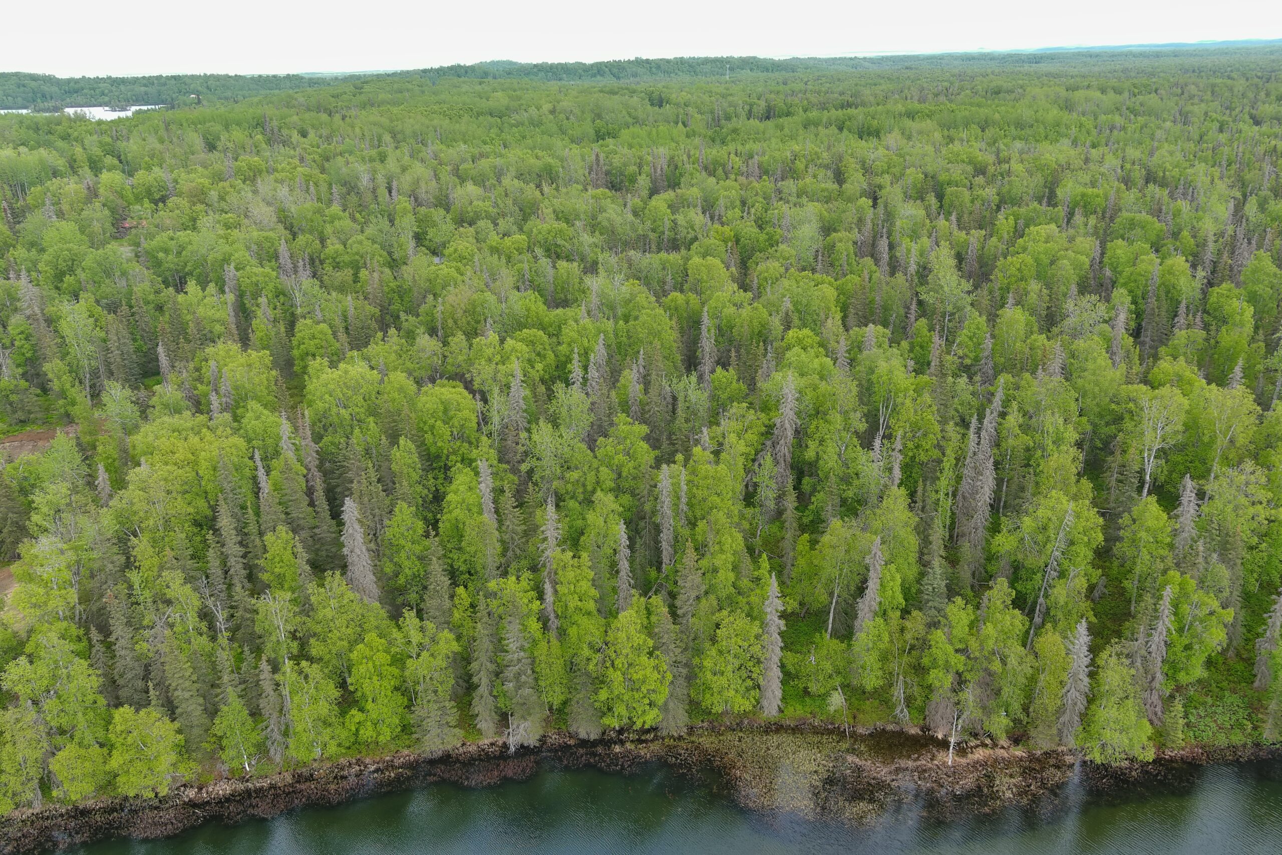
Nikiski is located north of Kenai, AK and is within the Kenai Peninsula Borough (KPB). The area is well known for its recreational fishing, hunting, hiking, and outdoor activities. The town of Nikiski is situated on the northwest portion of the peninsula and in close proximity to well known rivers such as the Kenai River, Swanson River, and Kasilof River.
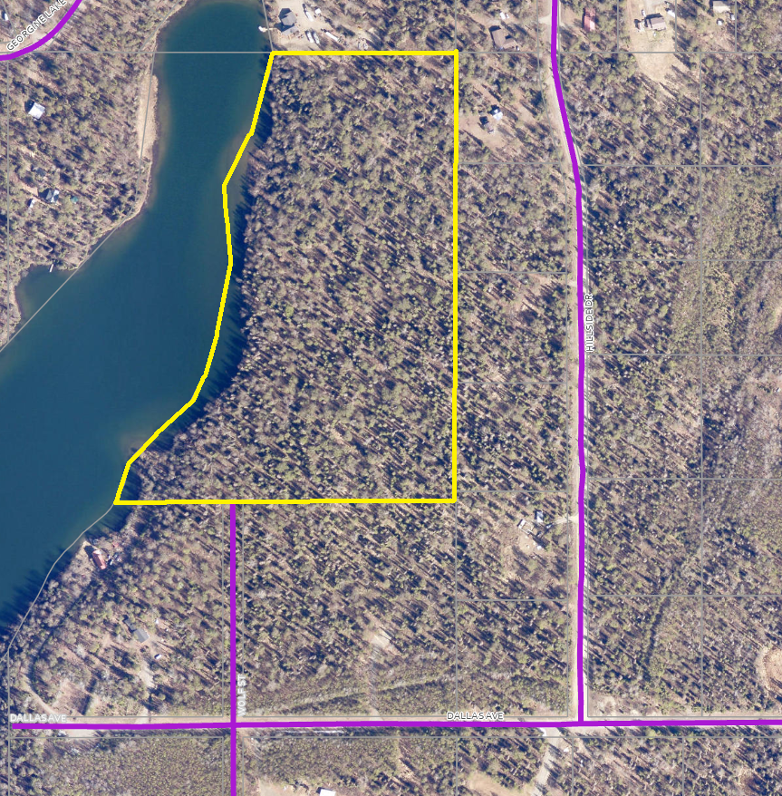
The subdivision is located approximately two miles off the Kenai Spur Highway near milepost 29. It fronts Barr Lake in Nikiski and is located within a developed residential area.
How to Access
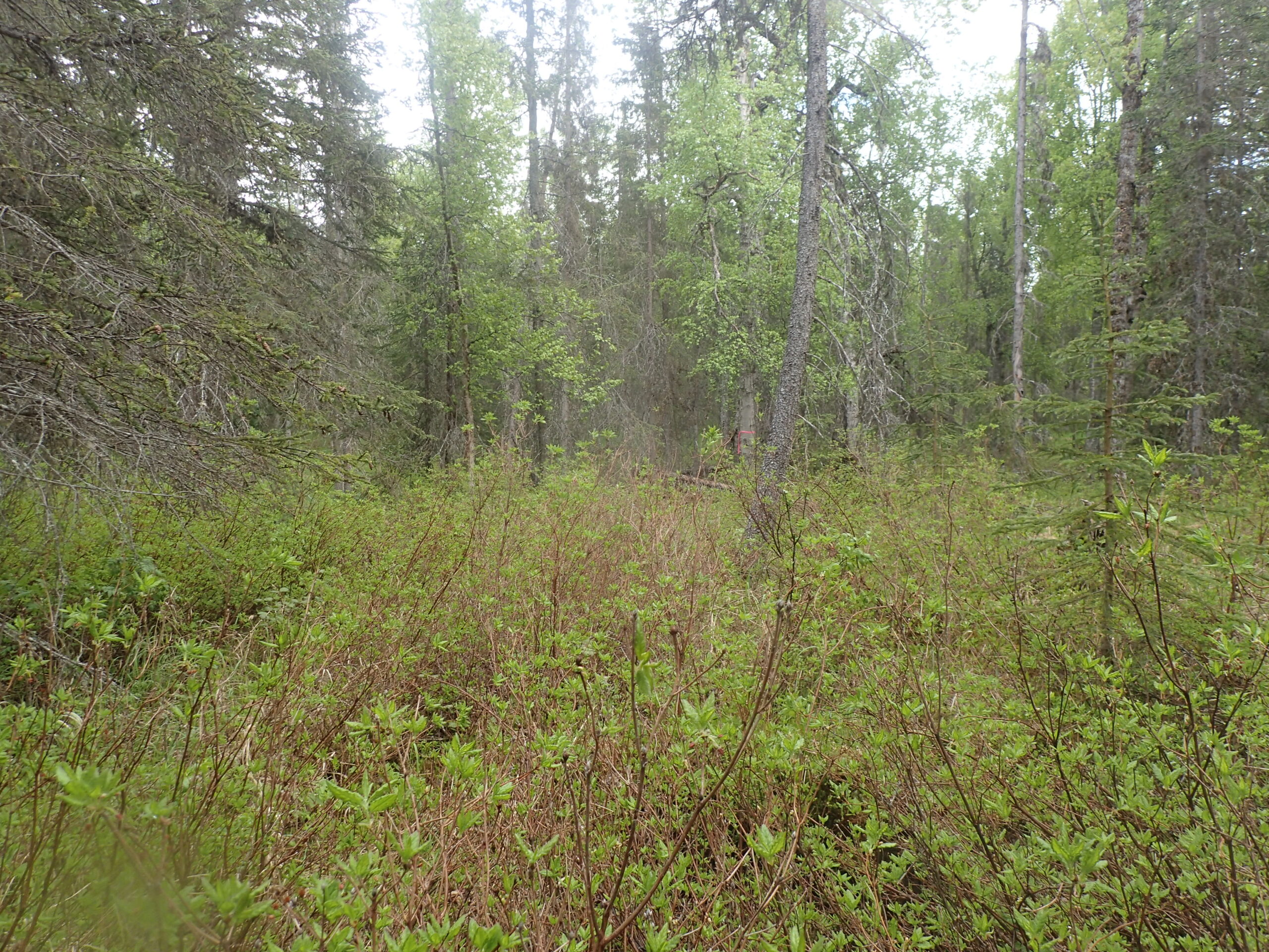
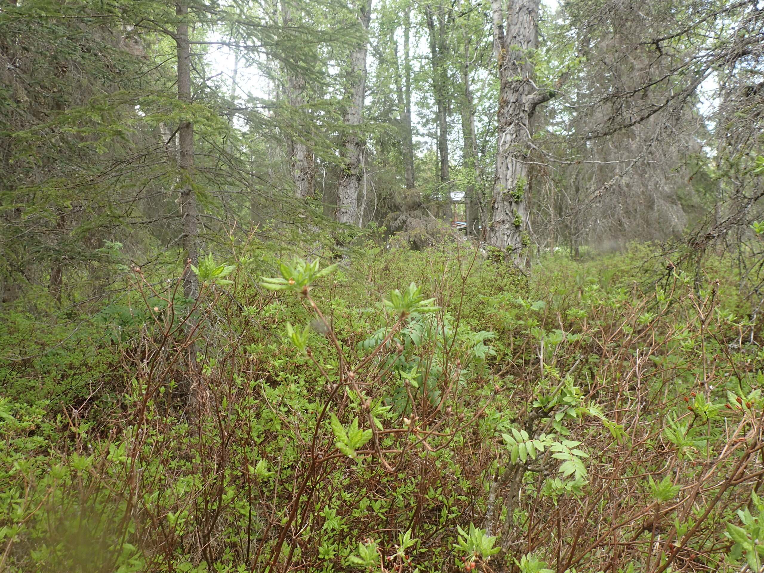
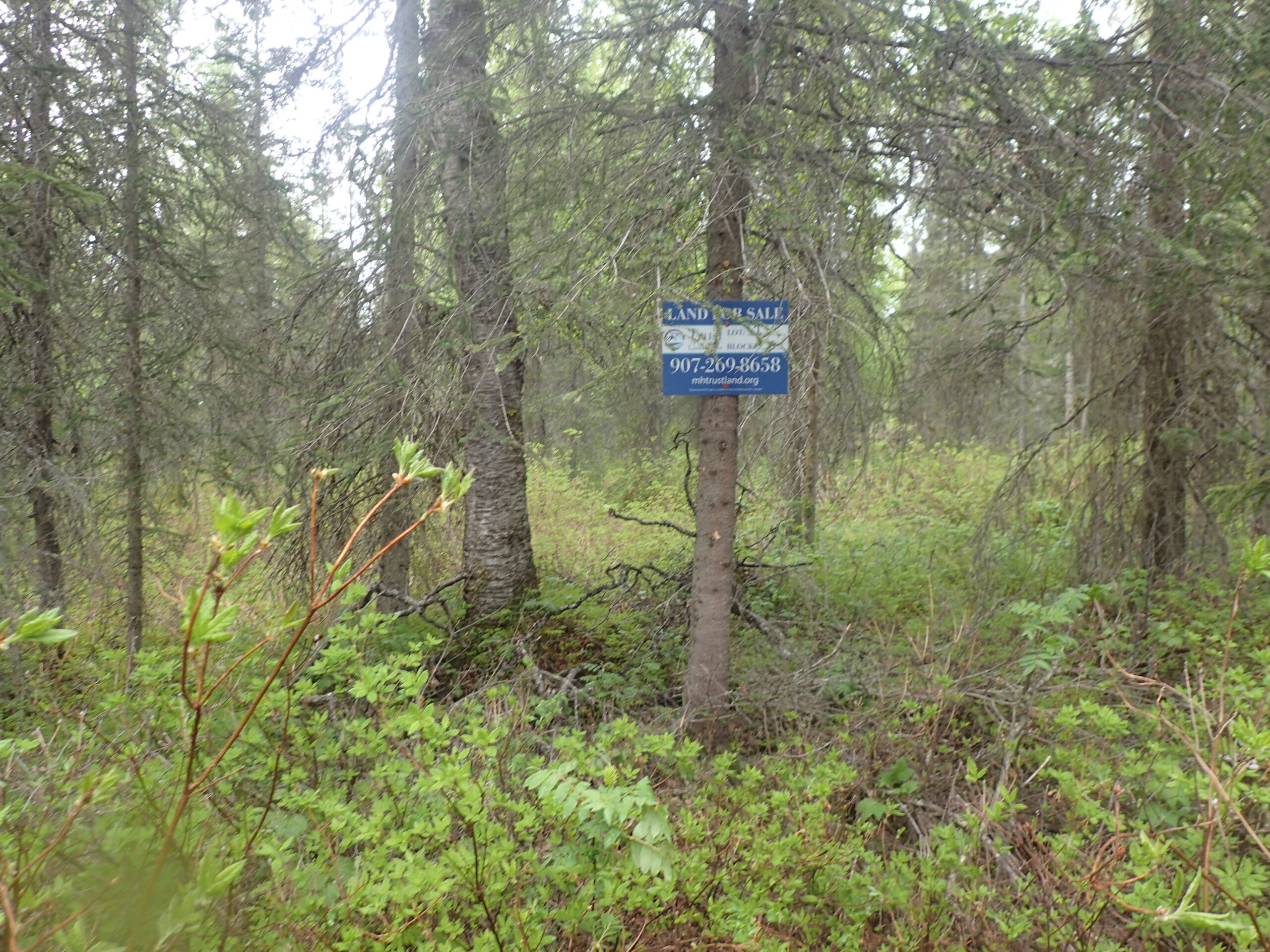
The subdivision is located off Dallas Ave, Nikiski, AK. From the Kenai Spur Highway at approximately milepost 29, turn onto Halbouty Road. Follow the road for about 1.3 miles, then turn onto Hillside Drive. Hillside Drive will turn right onto Dallas Ave. From there, the parcels may be accessed from an undeveloped road, Wolf Street. The image below is only for representation of the initial, undeveloped, road access to the parcel.
Utilities
Electricity is available in the area along Dallas Avenue, but not developed to the parcel. Natural gas is not immediately available to the parcel.
There is no public water or sewer, private wells and septic systems are common in the area and must conform to Alaska Department of Environmental Conservation (DEC) requirements.
Muni/Borough Authority
The parcel is within the Kenai Peninsula Borough and is subject to real property taxation and zoning restrictions.
Additional Notes
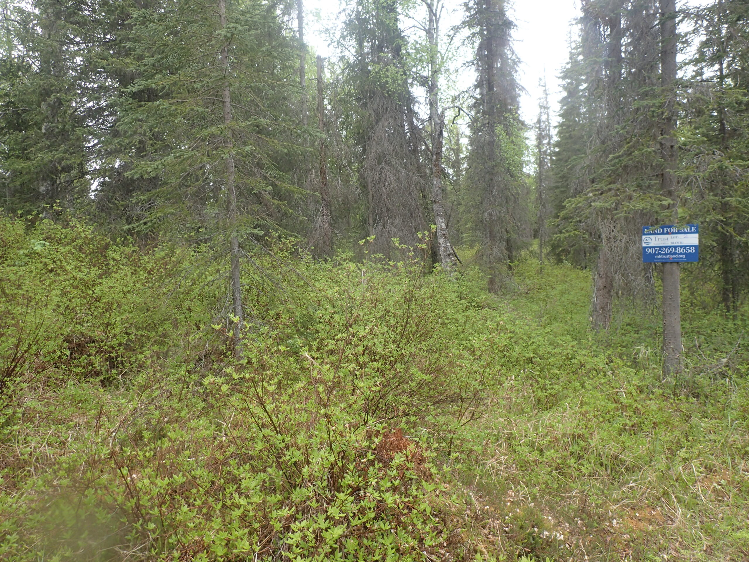
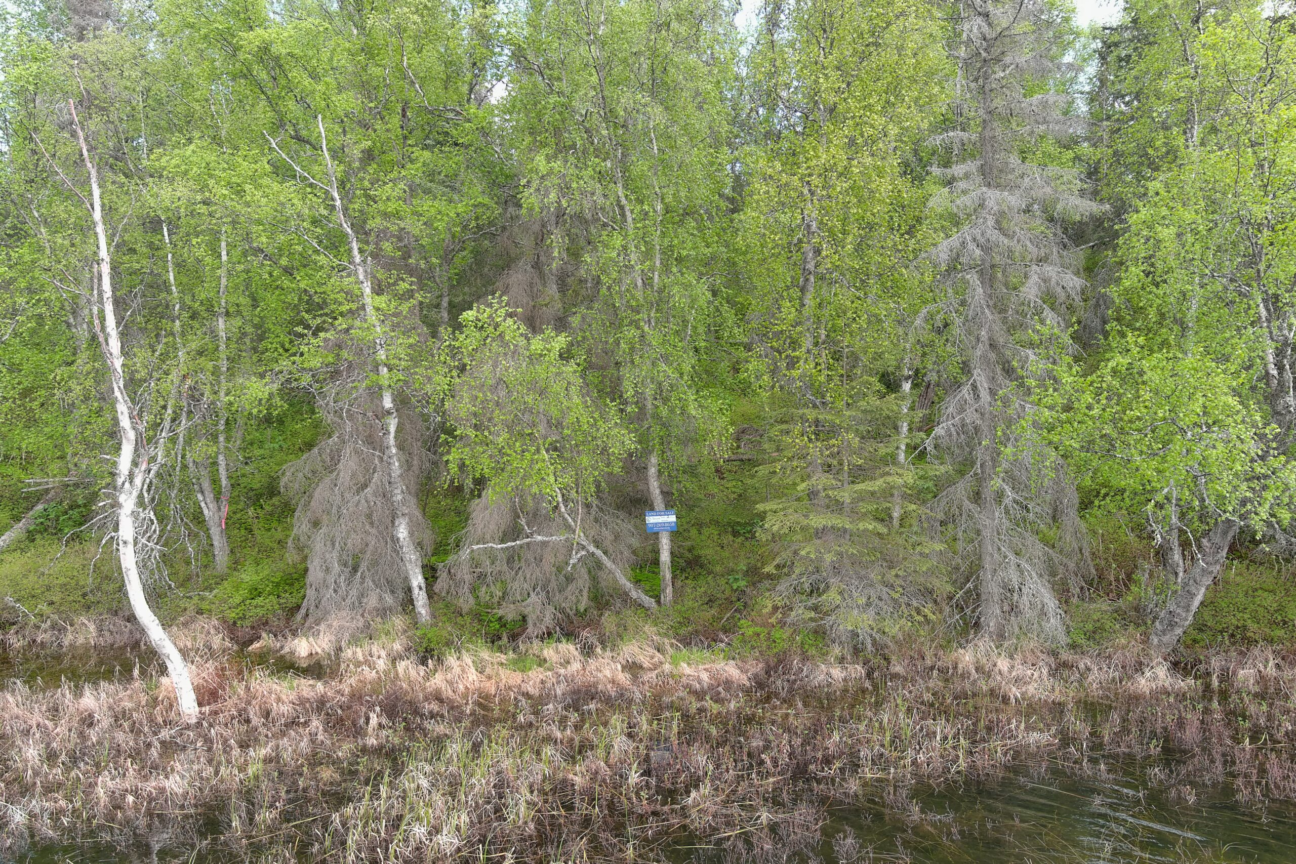
The parcel appears to have suitable building sites and benefits from a lake on the western boundary. The vegetation is consistent with the southcentral region.
The National Wetlands Inventory map does not indicate the parcel is within a wetlands area except the portion fronting Barr Lake.
To view the parcel on the interactive map, please click the link: Parcel Viewer
To zoom directly to the parcel, enter the MHT number into the search bar at the top left corner of map.
Maps and Survey
Note: Maps included are for graphic representation only and are intended to be used as a guide. It is the responsibility of the purchaser to review recorded subdivision plats/maps, surveys, and plat notes for specific information on easements, building setbacks, or other restrictions that will affect any individual parcel. Information is made available at the Department of Natural Resources Public Information Centers or on the web at: http://dnr.alaska.gov/landrecords/
How to Place a Bid
For information on how to place a bid on this parcel, please visit and review the posted Policy and Procedures for the 2025 Fall Competitive Land Sale Auction.