2025 Fall Land Sale Auction: Nikiski – Emerald Subdivision (MHT 9201039)
Alternate Sale Procedure
: NoMHT Number
: 9201039Minimum Bid
: $20,250.00Parcel Acres
: 3.109Lot
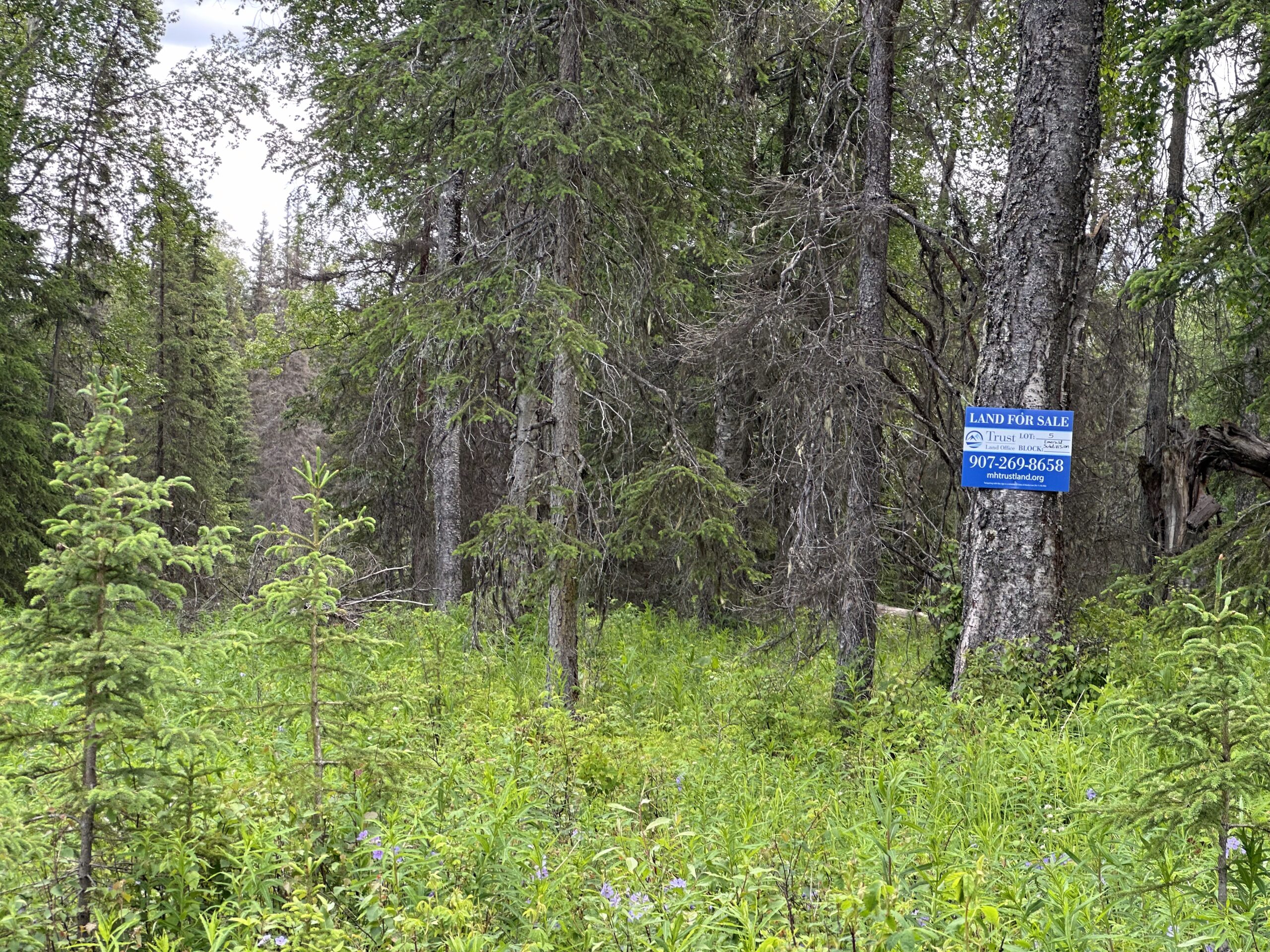
: 5Parcel Road Access
: YesMH Parcel Number
: A portion of SM-1165Survey
: TLS 2024-04MTRS
: S007N011W30Region:
SouthcentralGeneral Location:
Kenai PeninsulaCommunity/Subdivision (S/D):
Nikiski - Emerald SubdivisionLocation:
Nestled along the shores of the Cook Inlet, Nikiski, Alaska, is a small community with a distinctive blend of natural beauty and rich history. With a population of around 4,500 residents, this area is part of the Kenai Peninsula Borough and offers a unique glimpse into Alaskan life.
Nikiski is located on the western coast of the Kenai Peninsula, approximately 9 miles north of the city of Kenai. The area is characterized by its rugged coastline, lush forests, and proximity to the Cook Inlet, providing residents and visitors with stunning views and abundant opportunities for outdoor activities. The area is well known for its recreational fishing, hunting, and hiking. The town of Nikiski is situated in close proximity to well known rivers such as the Kenai River, Swanson River, and Kasilof River.
How to Access
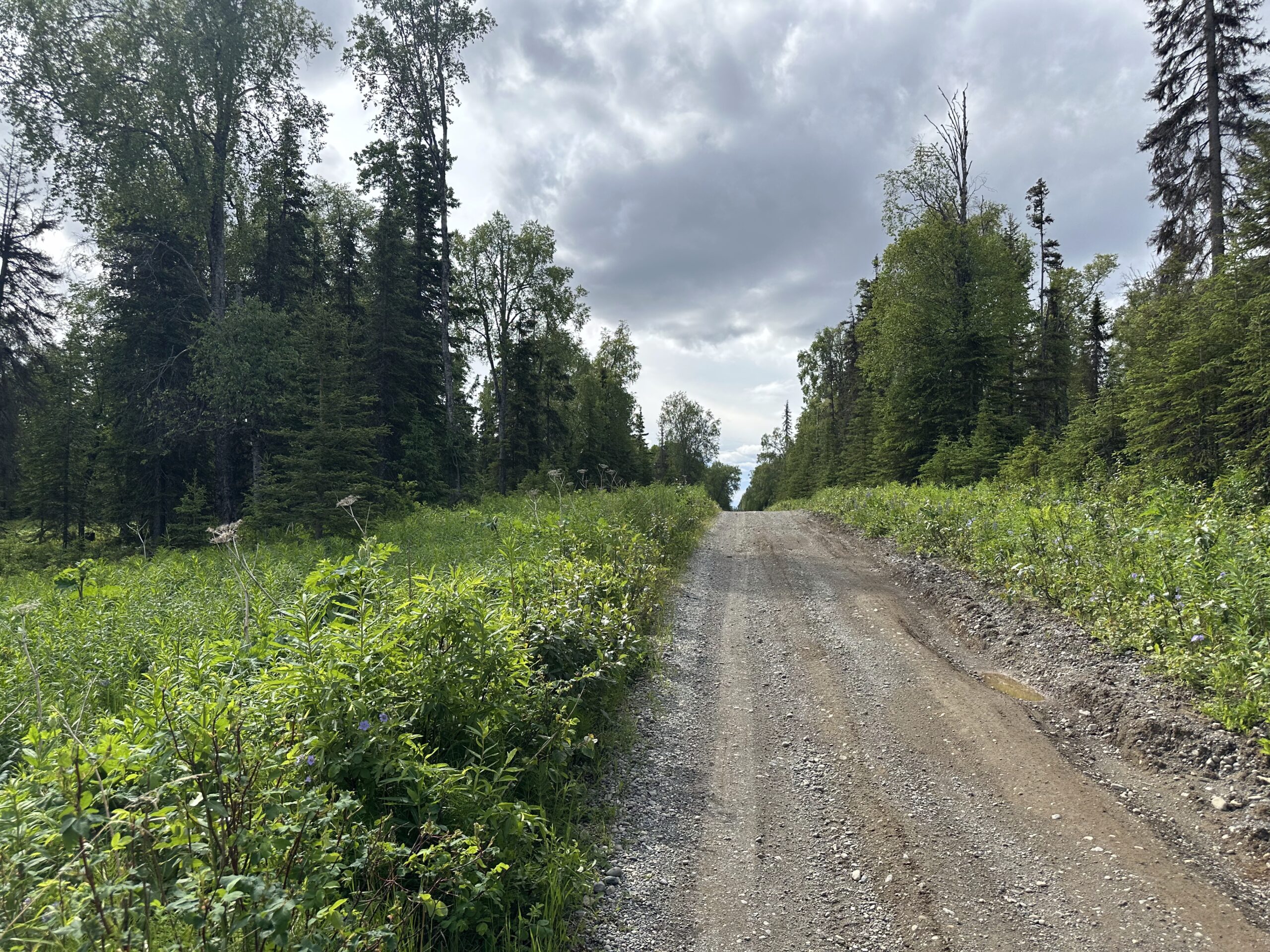
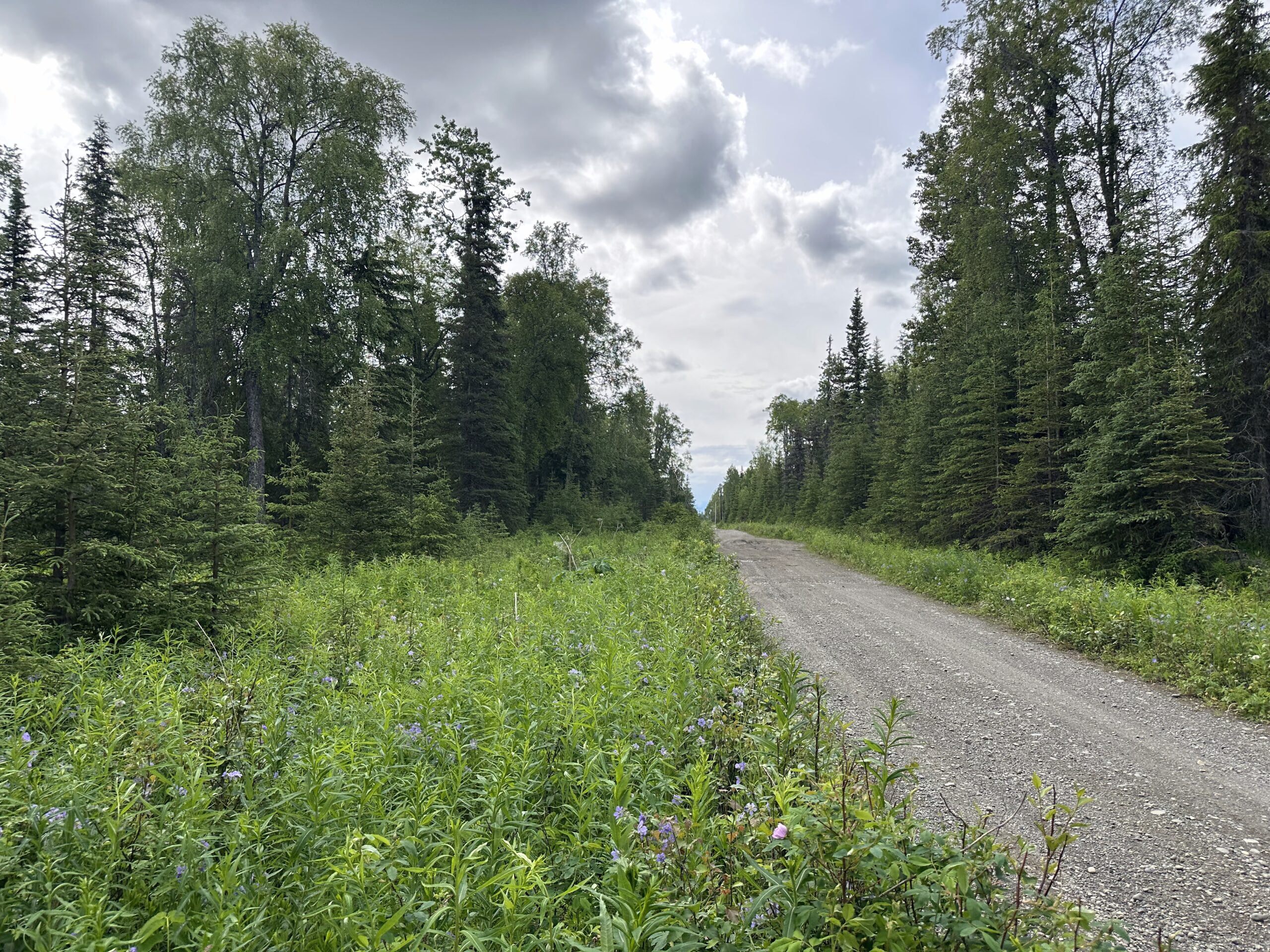
The subdivision is located off Emerald Avenue from Holt-Lamplight Road in Nikiski. Emerald Avenue is partially developed to the subdivision; however, the gravel road turns into a dirt road about 520 feet from the southwest corner of the subdivision.
Utilities
Electricity and natural gas is available in the area, but has not been constructed to the subdivision.
There is no public water or sewer, private wells and septic systems are common in the area and must conform to Alaska Department of Environmental Conservation (DEC) requirements.
Muni/Borough Authority
The parcel is within the Kenai Peninsula Borough and is subject to real property taxation and zoning restrictions.
Additional Notes
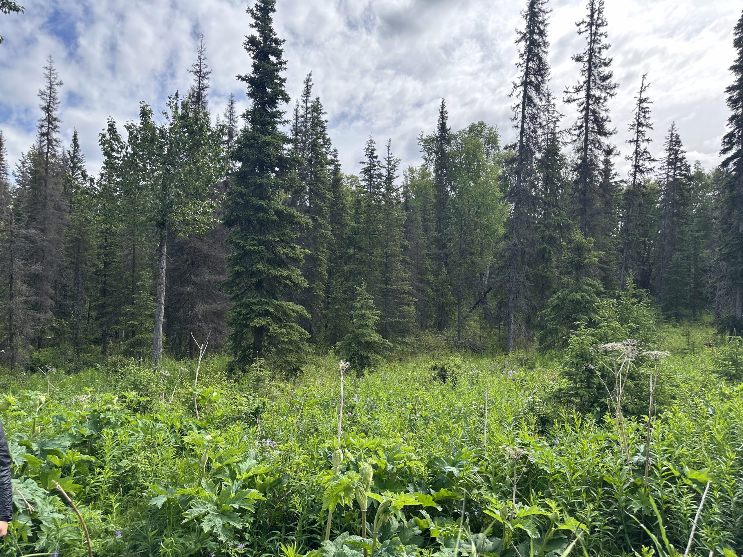
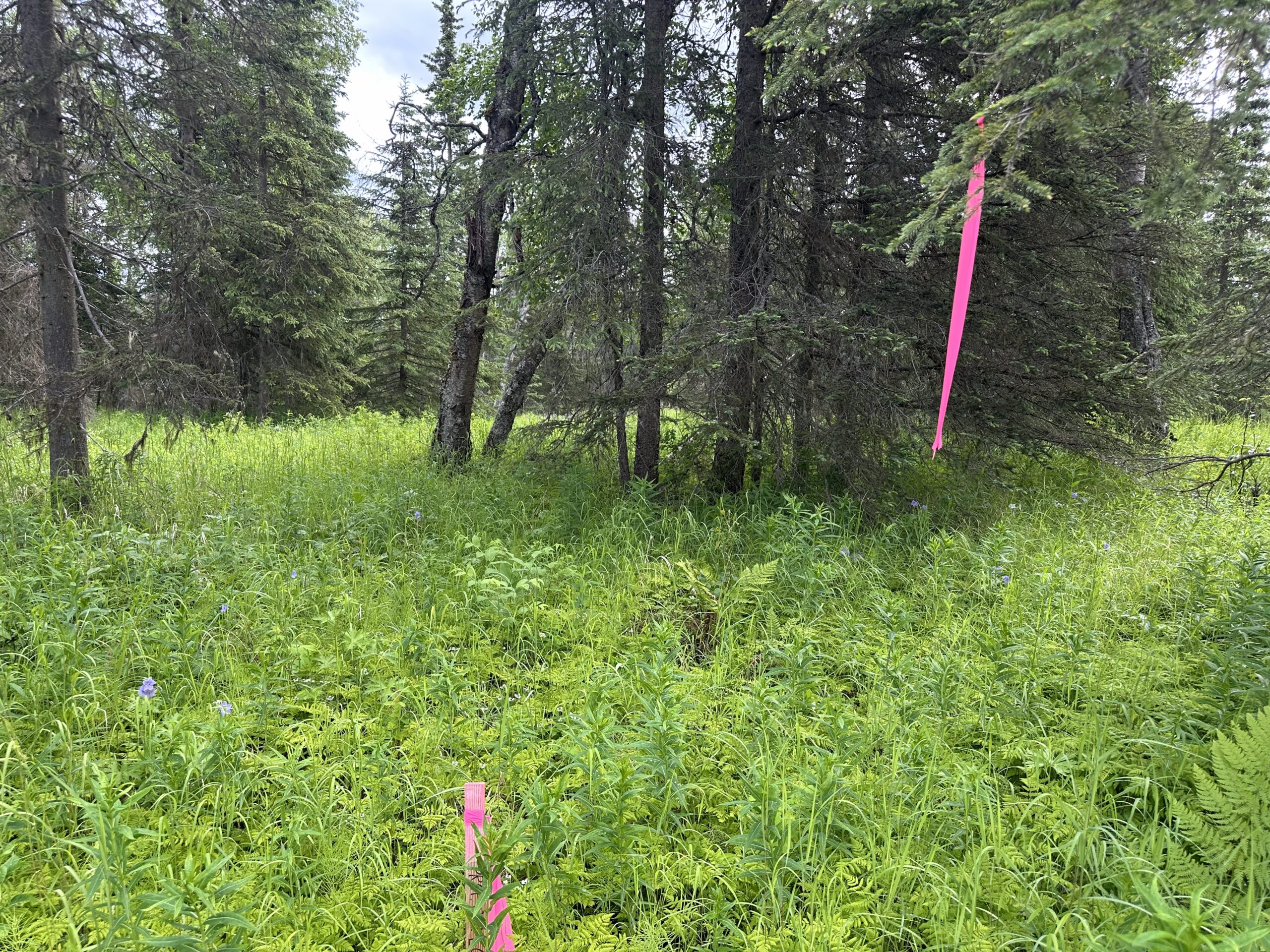
The parcel appears to have suitable building sites and benefits from frontage on a partially developed, minimally maintained road. The vegetation is consistent with the southcentral region.
To view the parcel on the interactive map, please click the link: Parcel Viewer
To zoom directly to the parcel, enter the MHT number into the search bar at the top left corner of map.
Maps and Survey
Note: Maps included are for graphic representation only and are intended to be used as a guide. It is the responsibility of the purchaser to review recorded subdivision plats/maps, surveys, and plat notes for specific information on easements, building setbacks, or other restrictions that will affect any individual parcel. Information is made available at the Department of Natural Resources Public Information Centers or on the web at: http://dnr.alaska.gov/landrecords/
How to Place a Bid
For information on how to place a bid on this parcel, please visit and review the posted Policy and Procedures for the 2025 Fall Competitive Land Sale Auction.