2025 Fall Land Sale Auction: Delta Junction (MHT 9400906)
Alternate Sale Procedure
: YesMHT Number
: 9400906Minimum Bid
: $43,250.00Parcel Acres
: 1.102Lot
: 18, 19, 20Block
: 5Parcel Road Access
: YesMH Parcel Number
: F20655.001Survey
: EPF 23-21MTRS
: F010S010E23Region:
NorthernGeneral Location:
Delta JunctionLocation:
Delta Junction is a unique and vibrant city that is approximately 200 miles west of the Canadian border and approximately 85 miles southeast of Fairbanks on the Richardson Highway. The city is steeped in history, dating back to its establishment as a key stop on the Alaska Highway during World War II. The town played a crucial role in the construction of this historic highway, which connected Alaska to the contiguous United States
The city is located in the Tanana Valley and is between three breathtaking mountain ranges – to the north are the White Mountains, to the Southeast are the Granite Mountains, and to the southwest is the Alaska Range. The Delta River that runs along side Delta Junction provides scenic views for sightseers.
Alternate Sale Procedure
This parcel is subject to the Alternate Sale Procedure. Please review how to place a bid for this select parcel by visiting the posted Policy and Procedures.
How to Access
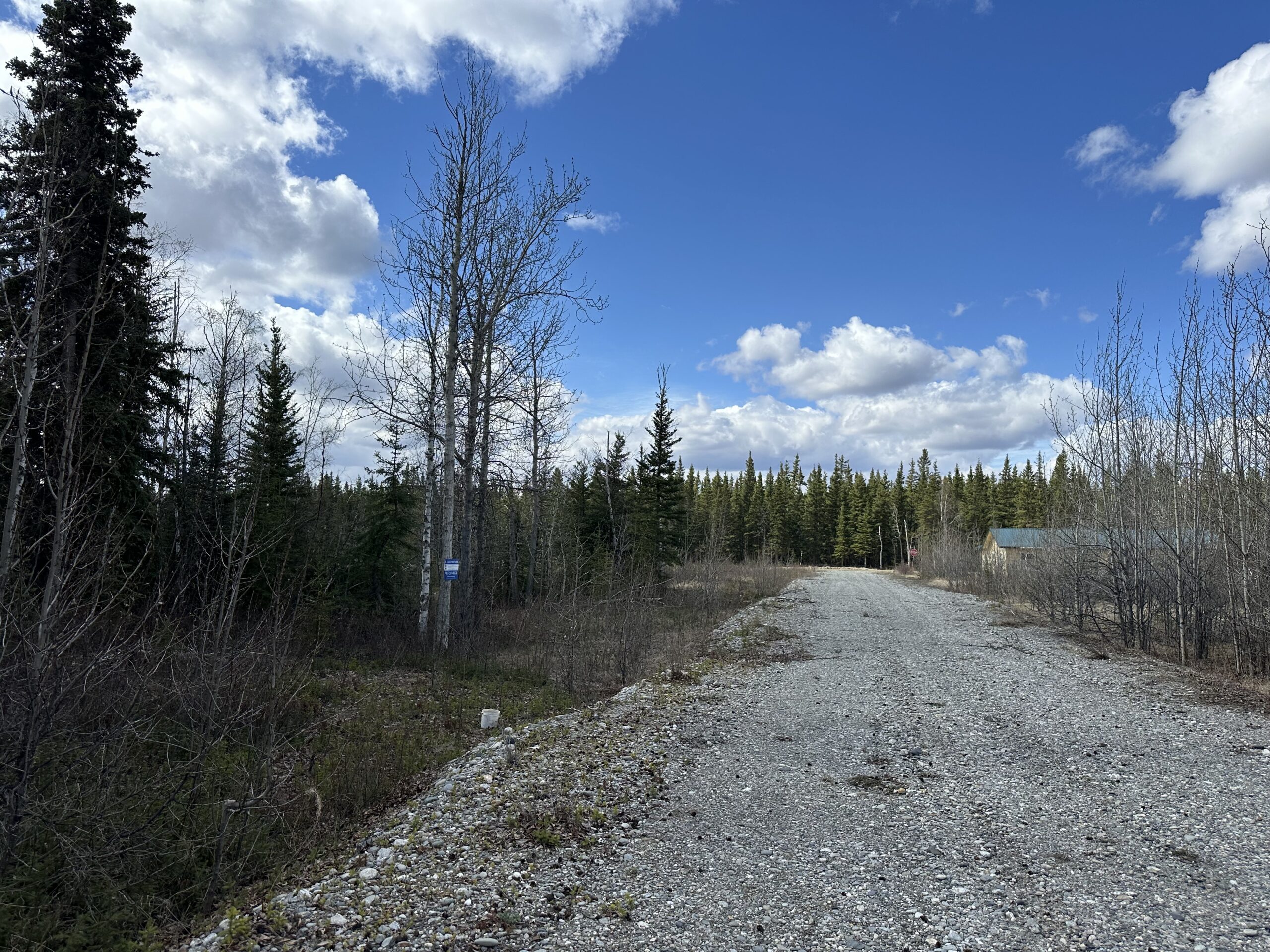
The parcel is located in the heart of Delta Junction city limits. From the Richardson Highway, turn west onto 4th Street, and then at the stop, turn north onto Jarvis Street. Approximately 0.16 miles from the intersection, the parcel may be accessed by West Second Street.
Utilities
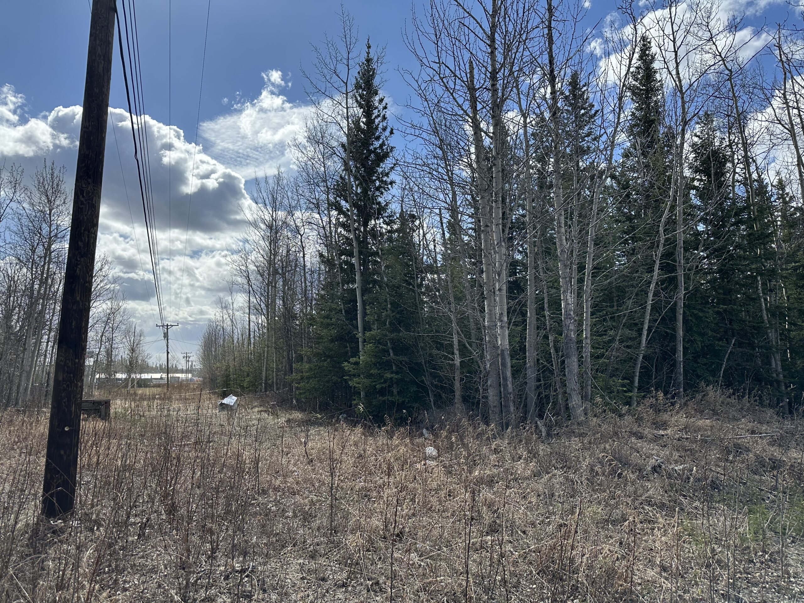
Electricity is available in the area by Golden Valley Electric Association.
There are no public water or sewer services in the area. Private wells and septic systems are common in the area and must conform to Alaska Department of Environmental Conservation (DEC) requirements.
Muni/Borough Authority
The parcel is located in the unorganized borough and not subject to property taxes or zoning regulations.
Additional Notes
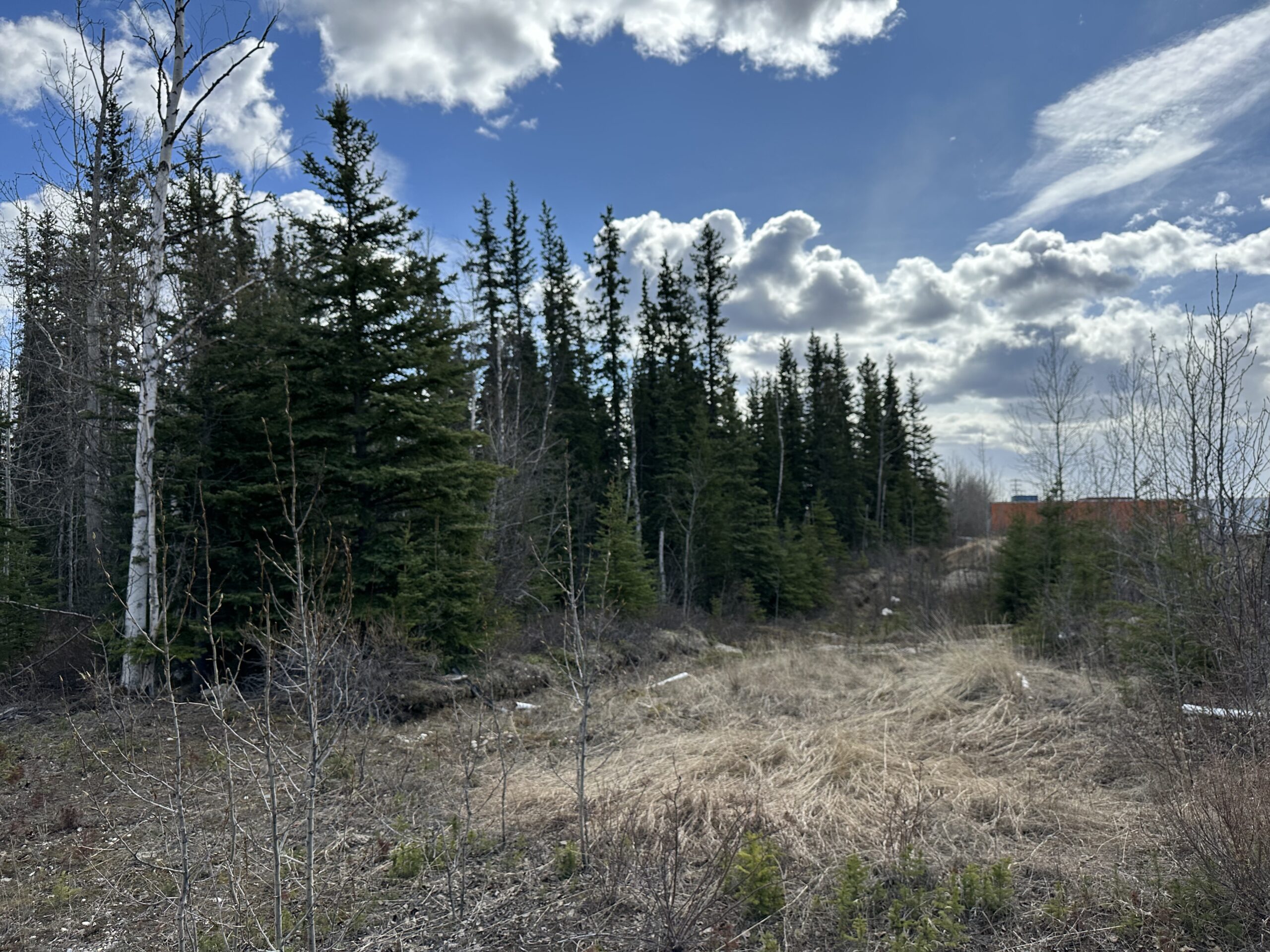
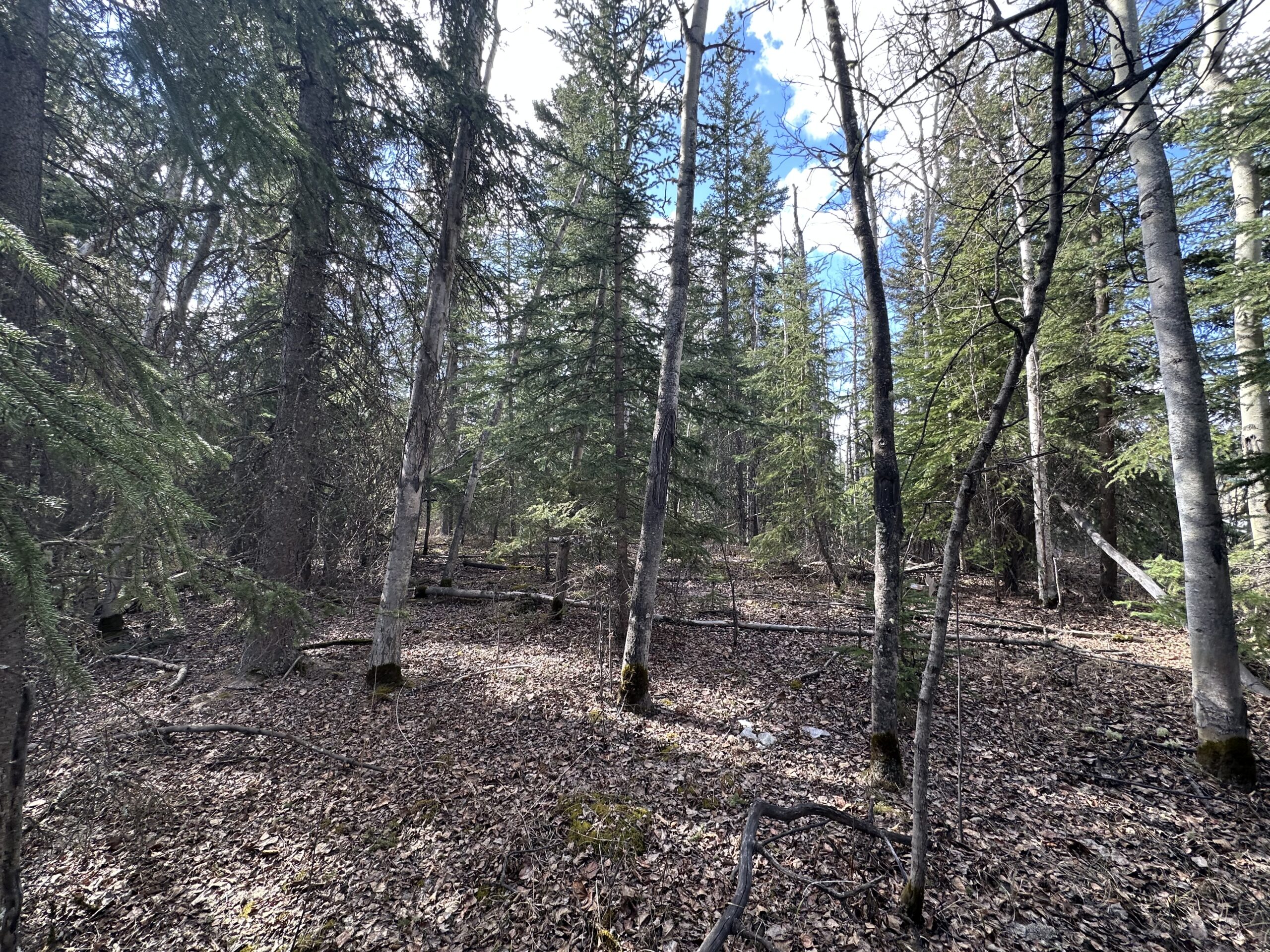
The topography is generally level and vegetation consist mostly of spruce and aspen trees. Soils are considered adequate to well drained. Surrounding uses include residential and recreational use.
To view the parcel on the interactive map, please click the link: Parcel Viewer
To zoom directly to the parcel, enter the MHT number into the search bar at the top left corner of map.
Maps and Survey
EPF 23-21
Note: Maps included are for graphic representation only and are intended to be used as a guide. It is the responsibility of the purchaser to review recorded subdivision plats/maps, surveys, and plat notes for specific information on easements, building setbacks, or other restrictions that will affect any individual parcel. Information is made available at the Department of Natural Resources Public Information Centers or on the web at: http://dnr.alaska.gov/landrecords/
How to Place a Bid
For information on how to place a bid on this parcel, please visit and review the posted Policy and Procedures for the 2025 Fall Competitive Land Sale Auction.