2024 Fall Land Sale Auction: Petersburg – Falls Creek Fish Ladder Subdivision (MHT 9101133)
Alternate Sale Procedure
: YesMHT Number
: 9101133Minimum Bid
: $132,000.00Parcel Acres
: 1.320Lot
: 1Parcel Road Access
: YesMH Parcel Number
: CRM-2284-02, a portionSurvey
: TLS 2009-02MTRS
: C060S079E11Region:
SoutheastGeneral Location:
PetersburgCommunity/Subdivision (S/D):
Falls Creek Fish Ladder SubdivisionLocation:
Petersburg is located on the northwest end of Mitkof Island, where the Wrangell Narrows meet Frederick Sound. It lies midway between Juneau and Ketchikan, about 120 miles from either community. The city is an island community that makes its living from the sea and tourism. The city is a tight knit community, coming together for festivals, fishing, and other annual events.
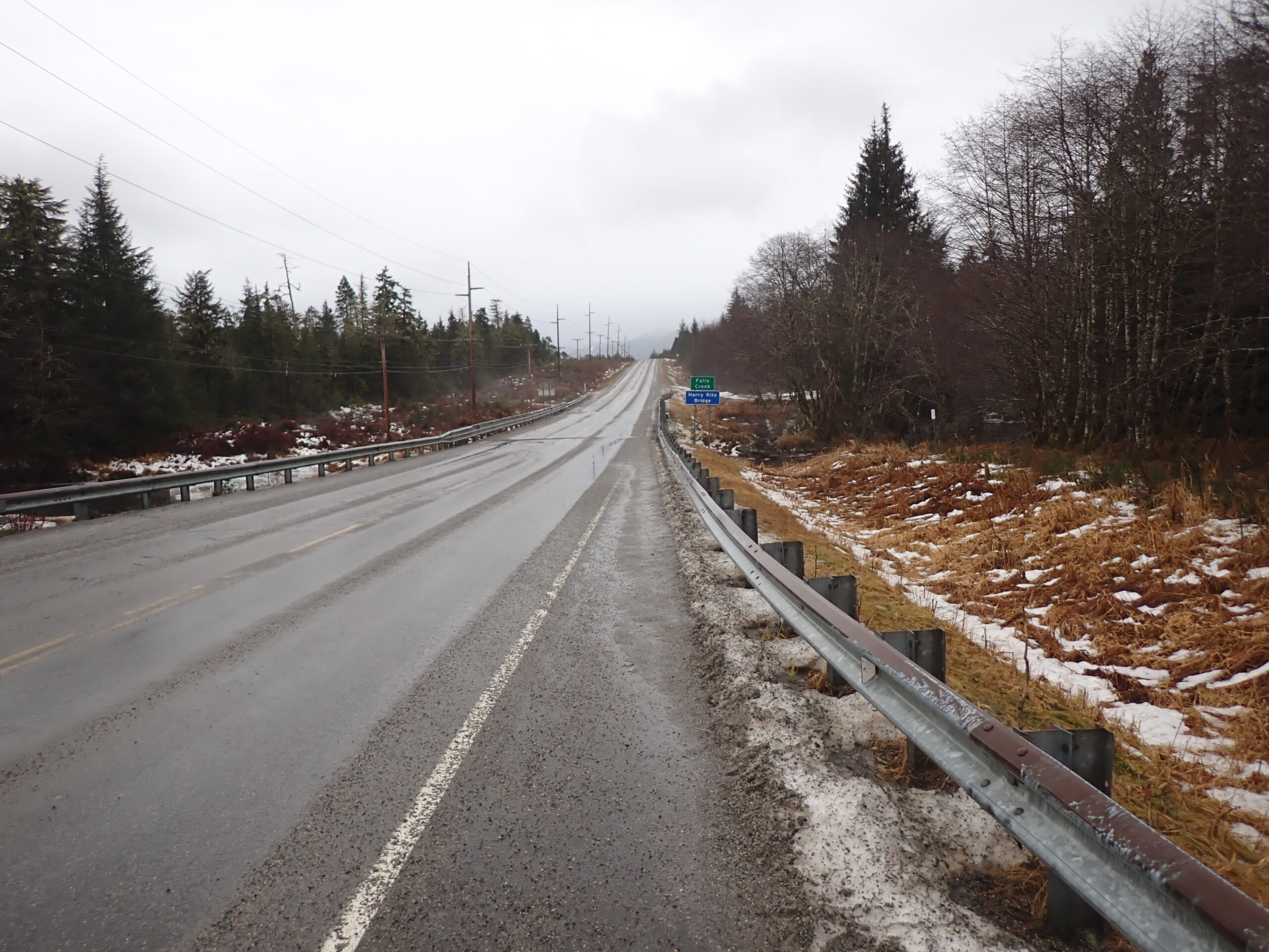
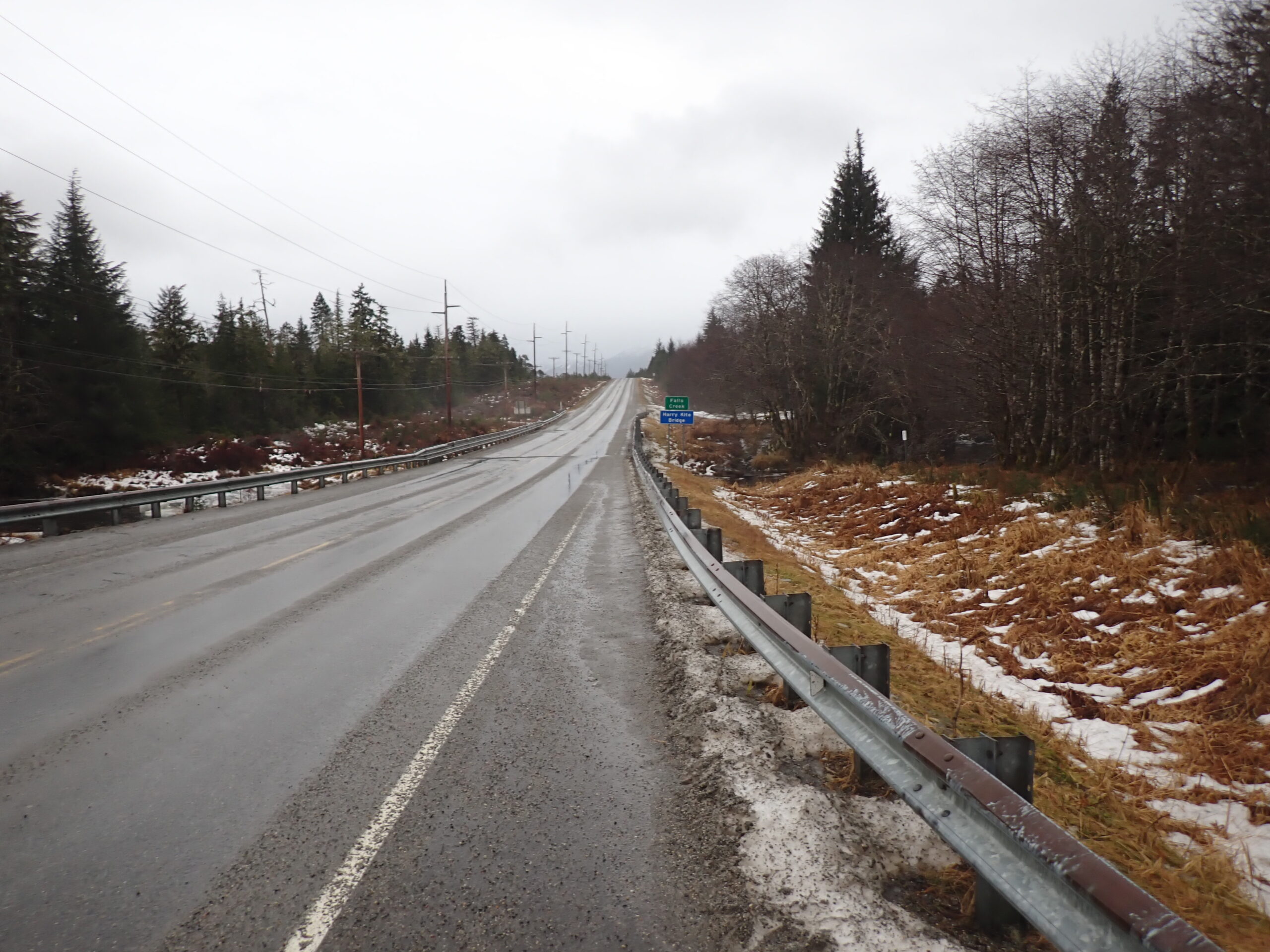
The parcel is approximately 9 miles south on the Mitkof Highway from the city center of Petersburg, AK.
Alternate Sale Procedure
This parcel is subject to the Alternate Sale Procedure. Please review how to place a bid for this select parcel by visiting the posted Policy and Procedures.
How to Access
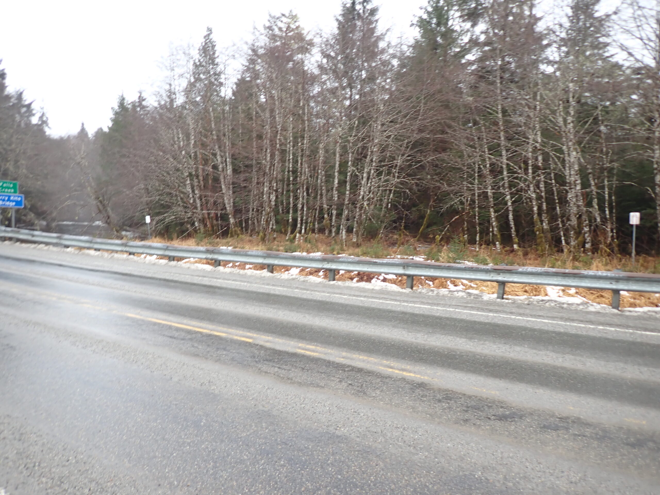
The parcel may be accessed from the Mitkof Highway. There is no constructed driveway to the parcel at this time.
Utilities
Electricity and phone utilities are available in the area, but not developed to the parcel.
There is no public sewer or water to this area. Septic systems have to be developed on-site and meet the Alaska Department of Environmental Conservation. Water in the area is typically collected on-site via a private water catchment system.
Muni/Borough Authority
The parcel is located in the Petersburg Borough and is subject to real property taxation and zoning restrictions.
Additional Notes
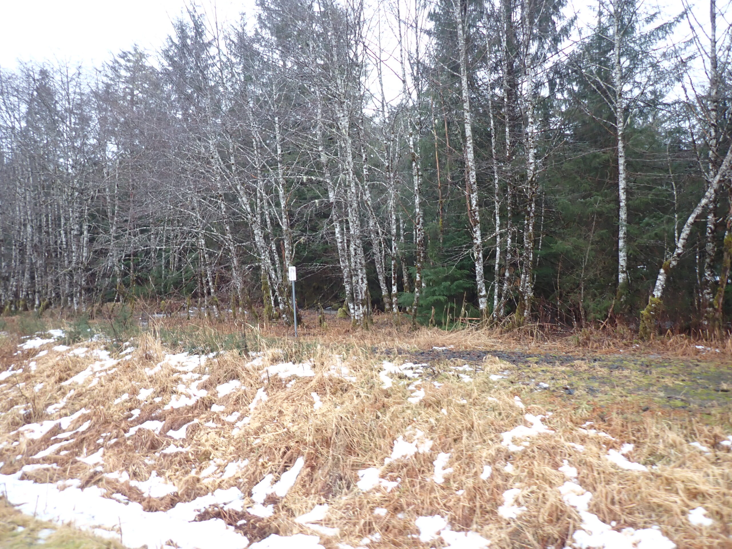
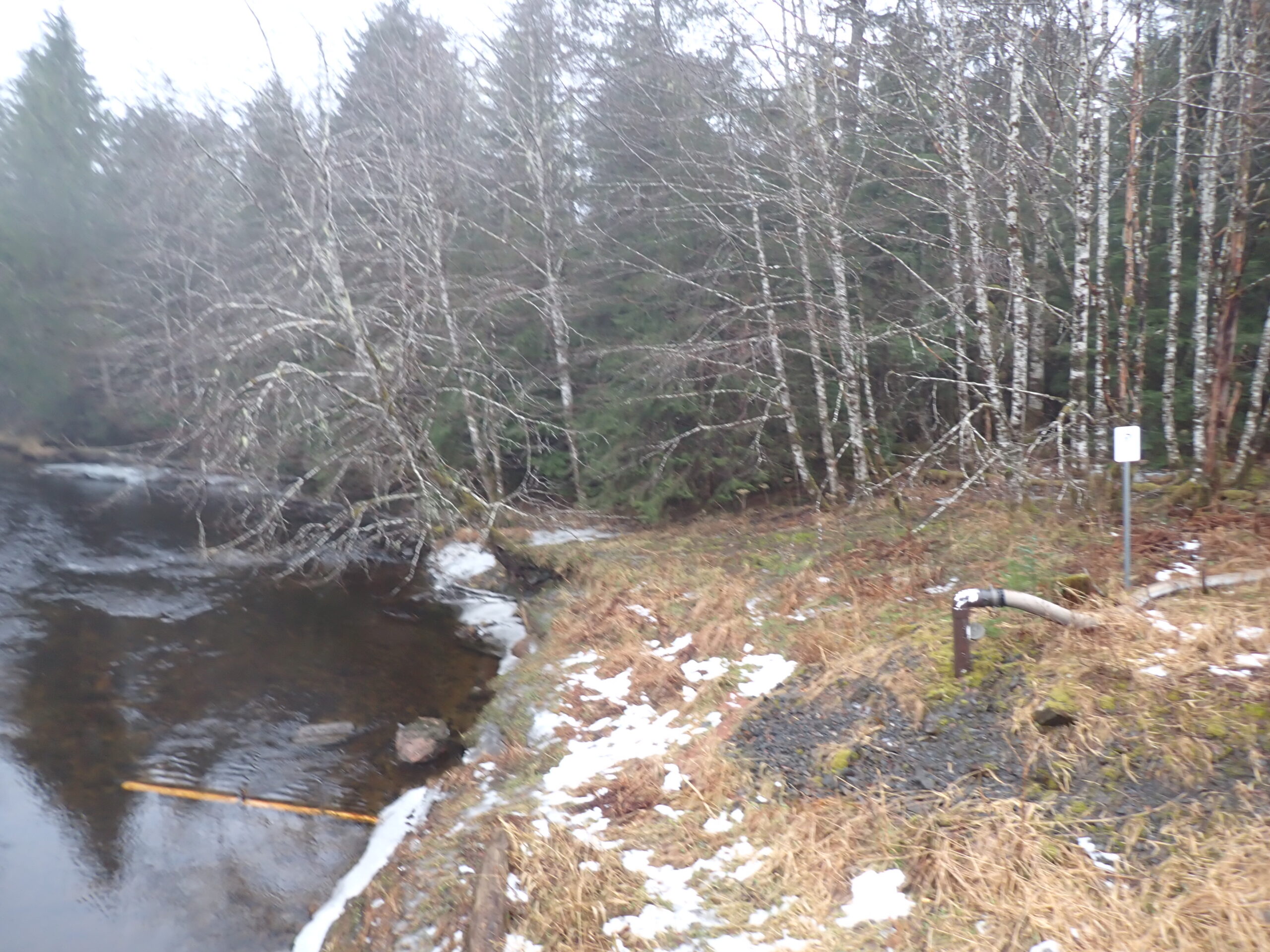
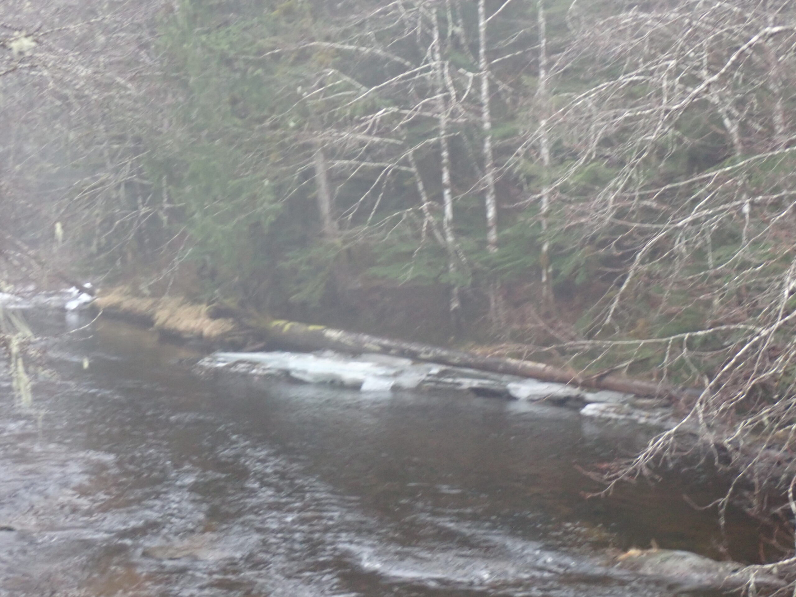
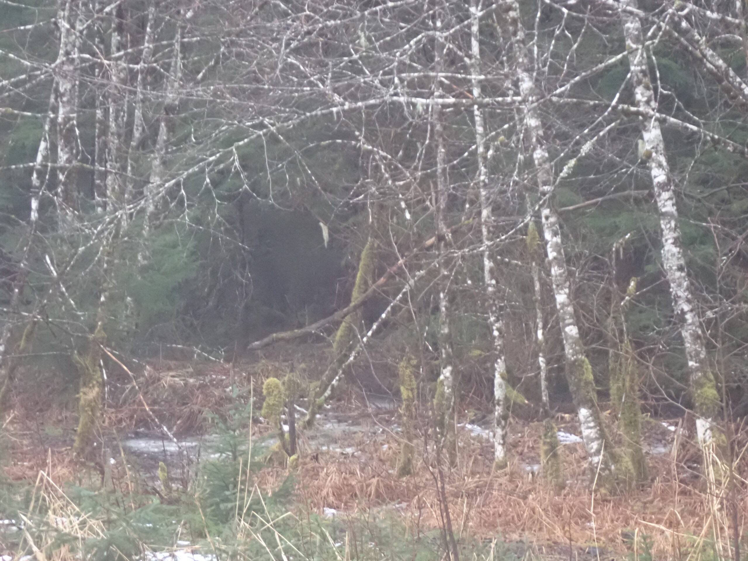
The parcel is mostly wooded with a combination of spruce, hemlock and alder trees. Undergrowth includes berry bushes, devils club, and the typical flora found throughout Southeast Alaska including mosses, ferns, etc. Soils appear to be silty/sandy clay overlying bedrock. The parcel is fronted by Falls Creek on its western and southeastern boundary.
To view the parcel on the interactive map, please click the link: Parcel Viewer
Maps and Survey
Note: Maps included are for graphic representation only and are intended to be used as a guide. It is the responsibility of the purchaser to review recorded subdivision plats/maps, surveys, and plat notes for specific information on easements, building setbacks, or other restrictions that will affect any individual parcel. Information is made available at the Department of Natural Resources Public Information Centers or on the web at: http://dnr.alaska.gov/landrecords/
How to Place a Bid
For information on how to place a bid on this parcel, please visit and review the posted Policy and Procedures for the 2024 Fall Competitive Land Sale Auction.