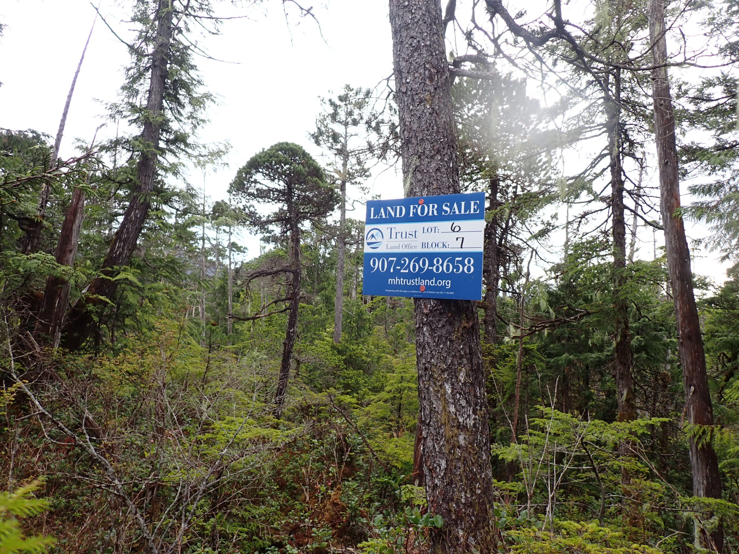
OTC: Ketchikan – Mud Bight Subdivision (MHT 9101270) *NEW*
MHT Number
: 9101270Purchase Price
: $19,000.00Parcel Acres
: 0.560Lot
: 6Block
: 7Parcel Road Access
: NoMH Parcel Number
: CRM-3103Survey
: ASLS 79-243MTRS
: C074S090E33Region:
SoutheastGeneral Location:
KetchikanCommunity/Subdivision (S/D):
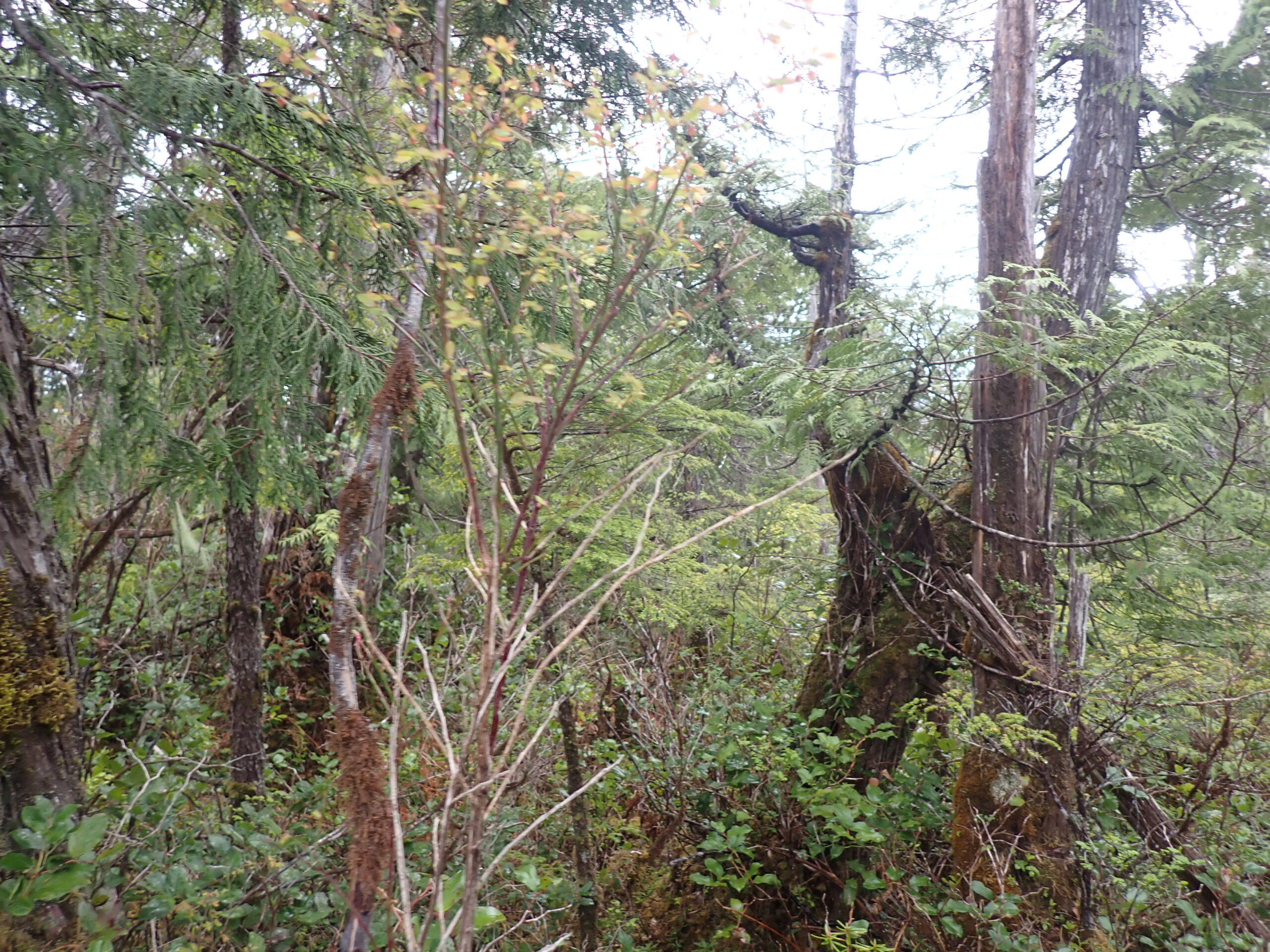
Mud Bight Alaska SubdivisionLocation:
Ketchikan is Alaska’s first city and a quick trip from Seattle. Its colorful history dates back to being a supply hub as the first stop in and last stop out during the gold rush era of the late 1800’s and early 1900’s. Since mining days, it has successfully reinvented itself many times from fish canneries, logging, tourism, and of course fishing.
The Ketchikan Gateway Borough boasts a population of 14,000 year round residents. It is the perfect size for living a small town life with friendly neighbors yet maintains a strong economy with lively cultural, artistic, and community events and activities for all ages and interests. There’s truly so much to offer in this piece of temperate rainforest paradise.
How to Access
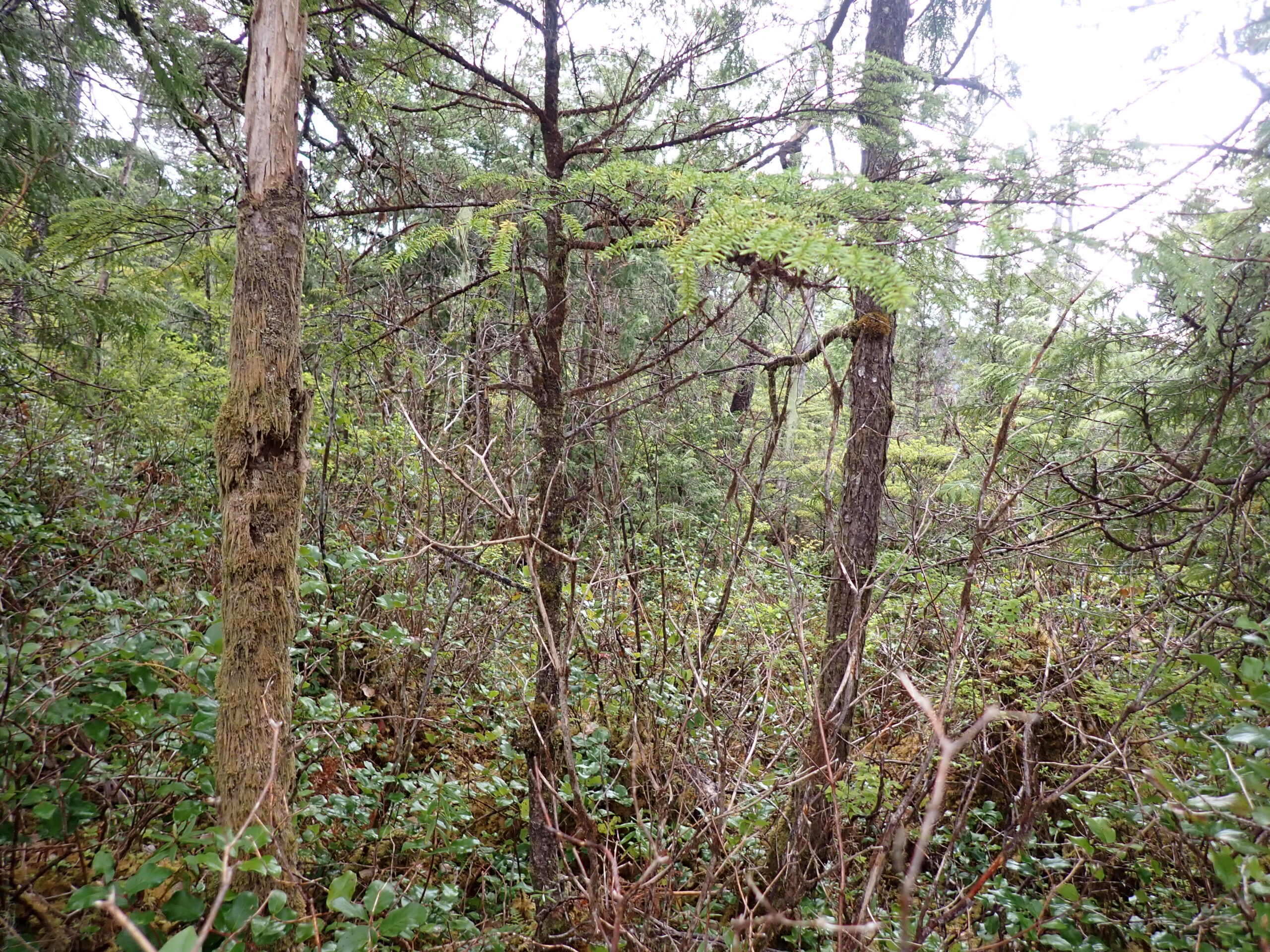
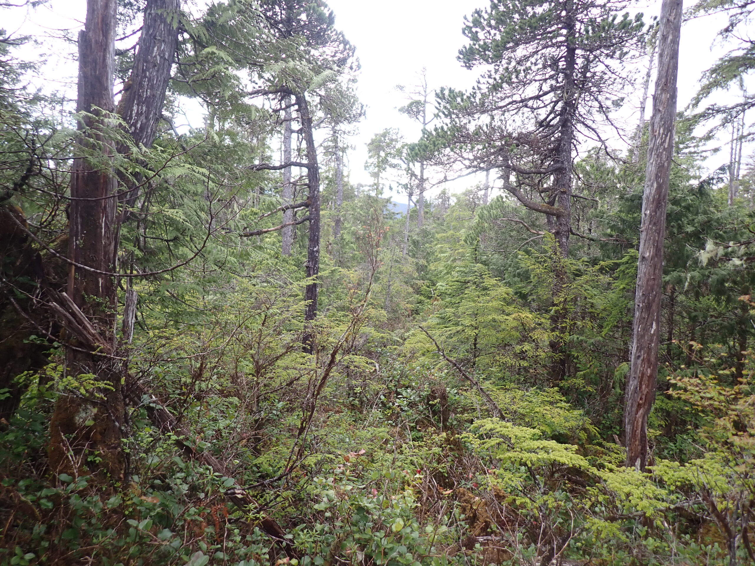
The parcel is approximately 7 miles northwest from the Ketchikan Central Business District on the North Tongass Highway. From the highway, the parcel can be accessed by taking Rhea Road until the road intersects with Heron Lane. Turn right onto Heron Lane until the road ends, approximately 1,500 feet from the parcel. The road has not been developed to this parcel but there is dedicated access.
Utilities
Electricity is available in the area but is not developed to the parcel. There are no public water or sewer utilities in the area, private water entrapment and septic systems are common in the area and must conform to Alaska Department of Environmental Conservation (DEC).
Muni/Borough Authority
The parcel is located within the Ketchikan Gateway Borough and is subject to real property taxes and zoning restrictions.
Additional Notes
To view the parcel on the interactive map, please click the link: Parcel Viewer
Maps and Survey
Note: Maps included are for graphic representation only and are intended to be used as a guide. It is the responsibility of the purchaser to review recorded subdivision plats/maps, surveys, and plat notes for specific information on easements, building setbacks, or other restrictions that will affect any individual parcel. Information is made available at the Department of Natural Resources Public Information Centers or on the web at: http://dnr.alaska.gov/landrecords/
How to Purchase
For information on how to purchase this parcel, please visit and review the posted Policy and Procedures for the Over the Counter Land Sales.