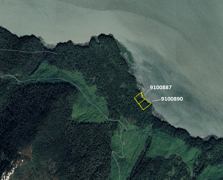
OTC: Wrangell Island East Subdivision (MHT 9100887)
MHT Number
: 9100887Purchase Price
: $27,500.00Parcel Acres
: 1.496Lot
: 23Block
: 2Parcel Road Access
: NoMH Parcel Number
: C20739Survey
: ASLS 83-8MTRS
: C062S084E35Region:
SoutheastGeneral Location:
WrangellCommunity/Subdivision (S/D):
Wrangell East Island SubdivisionLocation:
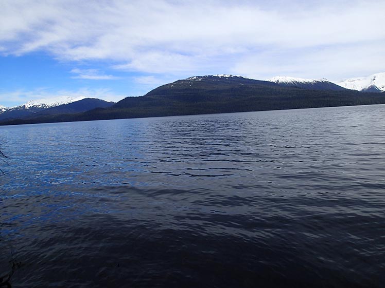
The City and Borough of Wrangell is located on the northwest tip of Wrangell Island, 155 miles south of Juneau and 89 miles northwest of Ketchikan. It is near the mouth of the Stikine River, a historic trade route to the Canadian Interior.
Wrangell falls within the southeast maritime climate zone, characterized by cool summers, mild winters and heavy rain throughout the year. Fog is common in Wrangell from September through December.
How to Access
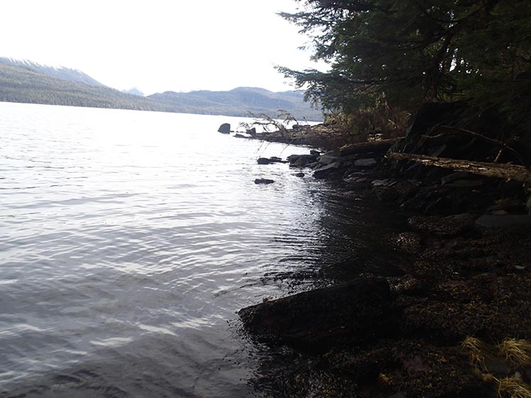
The parcels are in areas with no constructed road access. Boat or aircraft is required to gain access to the parcels.
Utilities
No public utilities are available in the subdivision. Alternative forms of electric generation would need to be used to obtain electricity. Water is typically obtained through rain water collection methods, and stored in a cistern. Waste water is typically handled by on site septic systems which need to meet requirements of the Alaska Department of Environmental Conservation requirements.
Muni/Borough Authority
The parcels are located in the Wrangell Borough and are subject to real property taxation.
Additional Notes
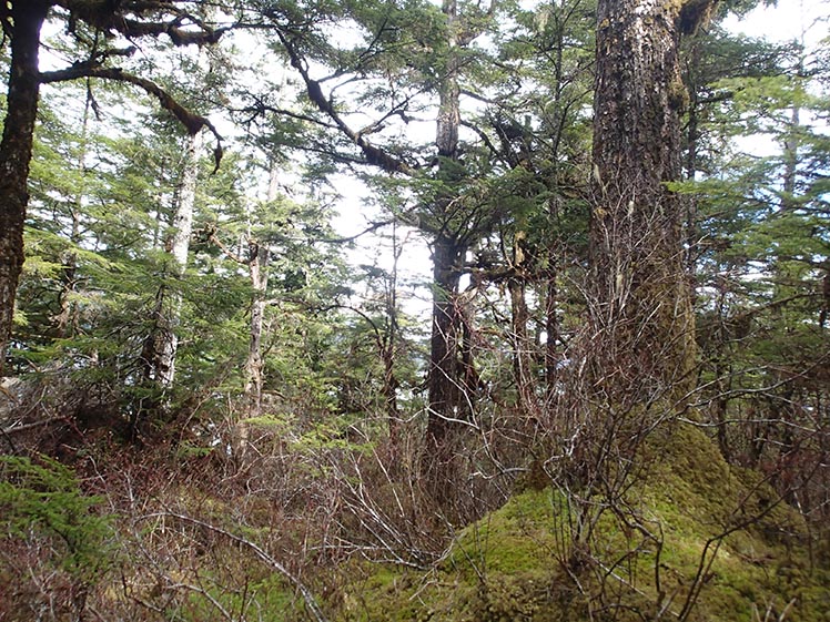
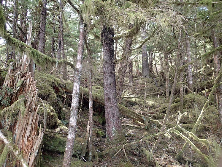
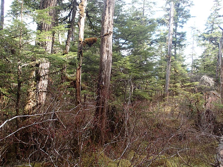
Parcels are mostly wooded with a combination of spruce, hemlock, and alder trees. Undergrowth vegetation consists of berry bushes, devils club, and the typical herbaceous plants found throughout Southeast Alaska, including mosses, ferns, etc. Soils appear to be silty/sandy clay overlying bedrock.
For more information on Wrangell, visit:
To view the parcel on the interactive map, please click the link: Parcel Viewer
Maps and Survey
uded are for graphic representation only and are intended to be used as a guide. It is the responsibility of the purchaser to review recorded subdivision plats/maps, surveys, and plat notes for specific information on easements, building setbacks, or other restrictions that will affect any individual parcel. Information is made available at the Department of Natural Resources Public Information Centers or on the web at: http://dnr.alaska.gov/landrecords/
How to Purchase
For information on how to purchase this parcel, please visit and review the posted Policy and Procedures for the Over the Counter Land Sales.