2024 Fall Land Sale Auction: Sterling – Trout View Subdivision (MHT 9200849)
Alternate Sale Procedure
: YesMHT Number
: 9200849Minimum Bid
: $110,000.00Parcel Acres
: 0.949Lot
: 1Parcel Road Access
: YesMH Parcel Number
: SM-0618Survey
: TLS 2021-04MTRS
: S005N008W29Region:
SouthcentralGeneral Location:
Kenai PeninsulaCommunity/Subdivision (S/D):
Sterling - Trout View SubdivisionLocation:
The area known as Funny River, AK is located on the Kenai Peninsula. The area is similar to other nearby towns and is popular for its recreational fishing, hunting, hiking, and outdoor activities. Funny River is only accessible through the town of Soldotna, as there are no bridges across the Kenai River in the area.
The subdivision is located approximately 18 miles east on Funny River Road from the intersection of the Sterling Highway, Kalfornsky Beach Road, and Funny River Road.
Alternate Sale Procedure
This parcel is subject to the Alternate Sale Procedure. Please review how to place a bid for this select parcel by visiting the posted Policy and Procedures.
How to Access
The subdivision is located down Funny River Road from the intersection of the Sterling Highway, Kalifornsky Beach Road, and Funny River Road. About 14 miles down Funny River Road, heading east, turn right onto Rabbit Run Road for about 1.0 mile, then turn left onto Browns Lake Road. Follow the road for about 2.3 miles and turn left onto E. Lakefront Drive. The subdivision begins at the end of E. Lakefront Drive. The extension of E. Lakefront Drive into the subdivision, as depicted in the plat link below, has not been developed.
Utilities
Electricity is available in the area, but not developed to the parcel. Natural gas is not immediately available to the parcel.
There is no public water or sewer, private wells and septic systems are common in the area and must conform to Alaska Department of Environmental Conservation (DEC) requirements.
Muni/Borough Authority
The parcel is within the Kenai Peninsula Borough and is subject to real property taxation and zoning restrictions.
Additional Notes
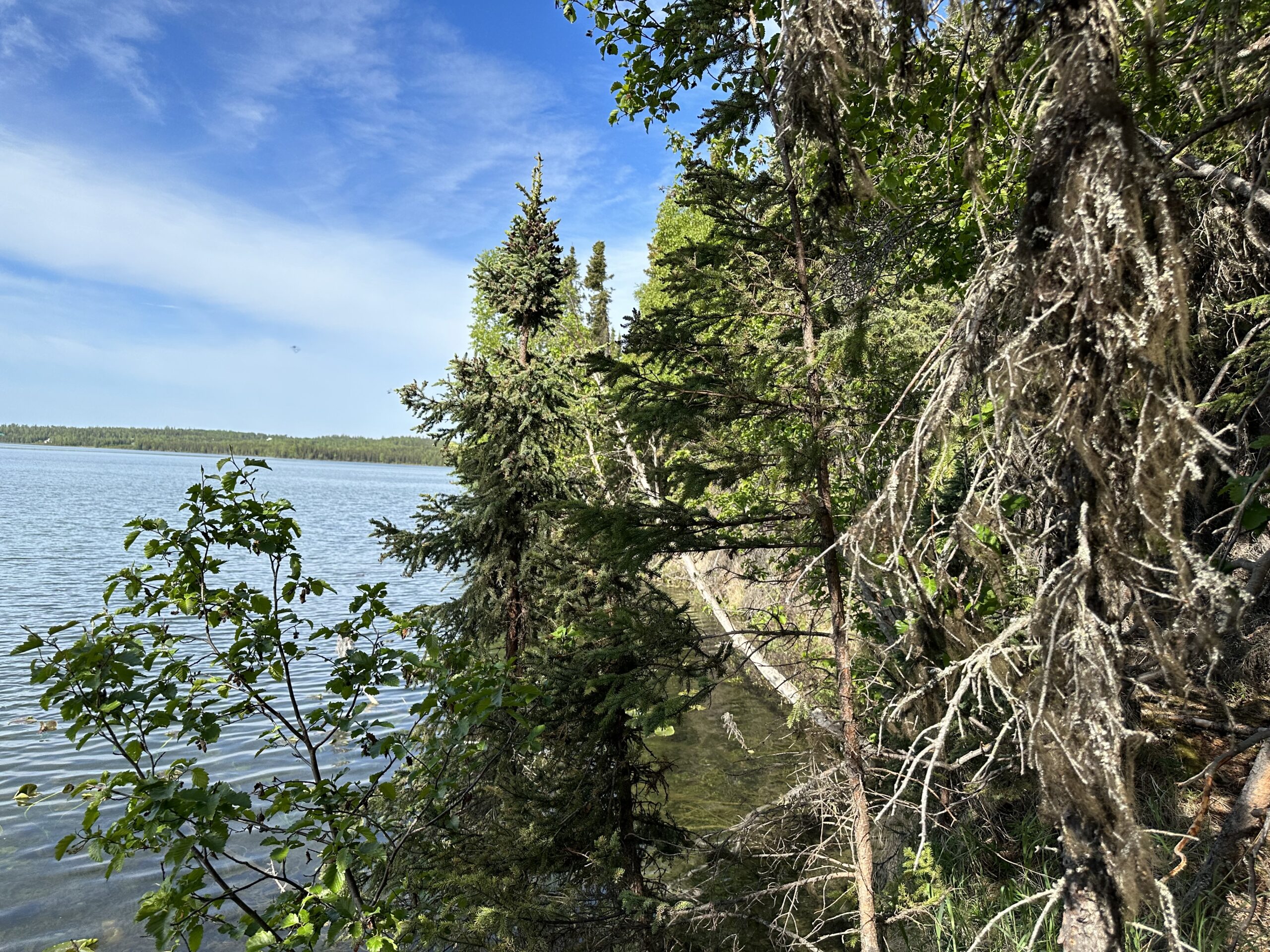
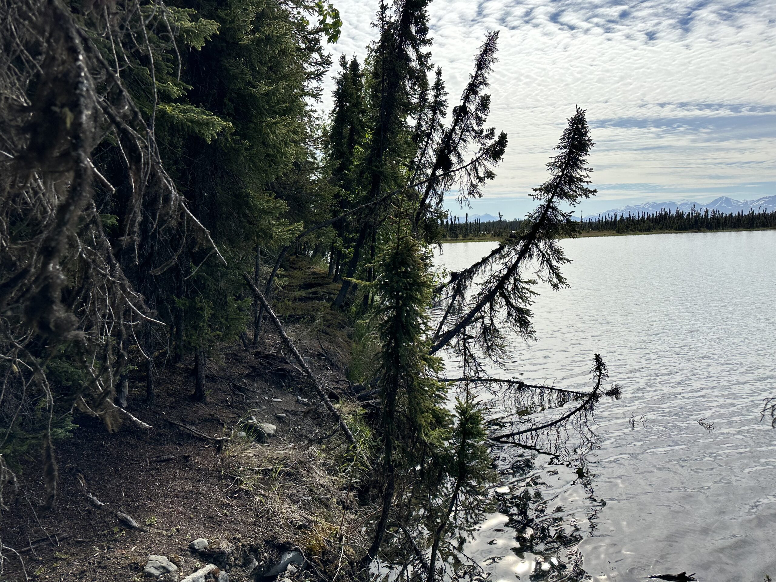
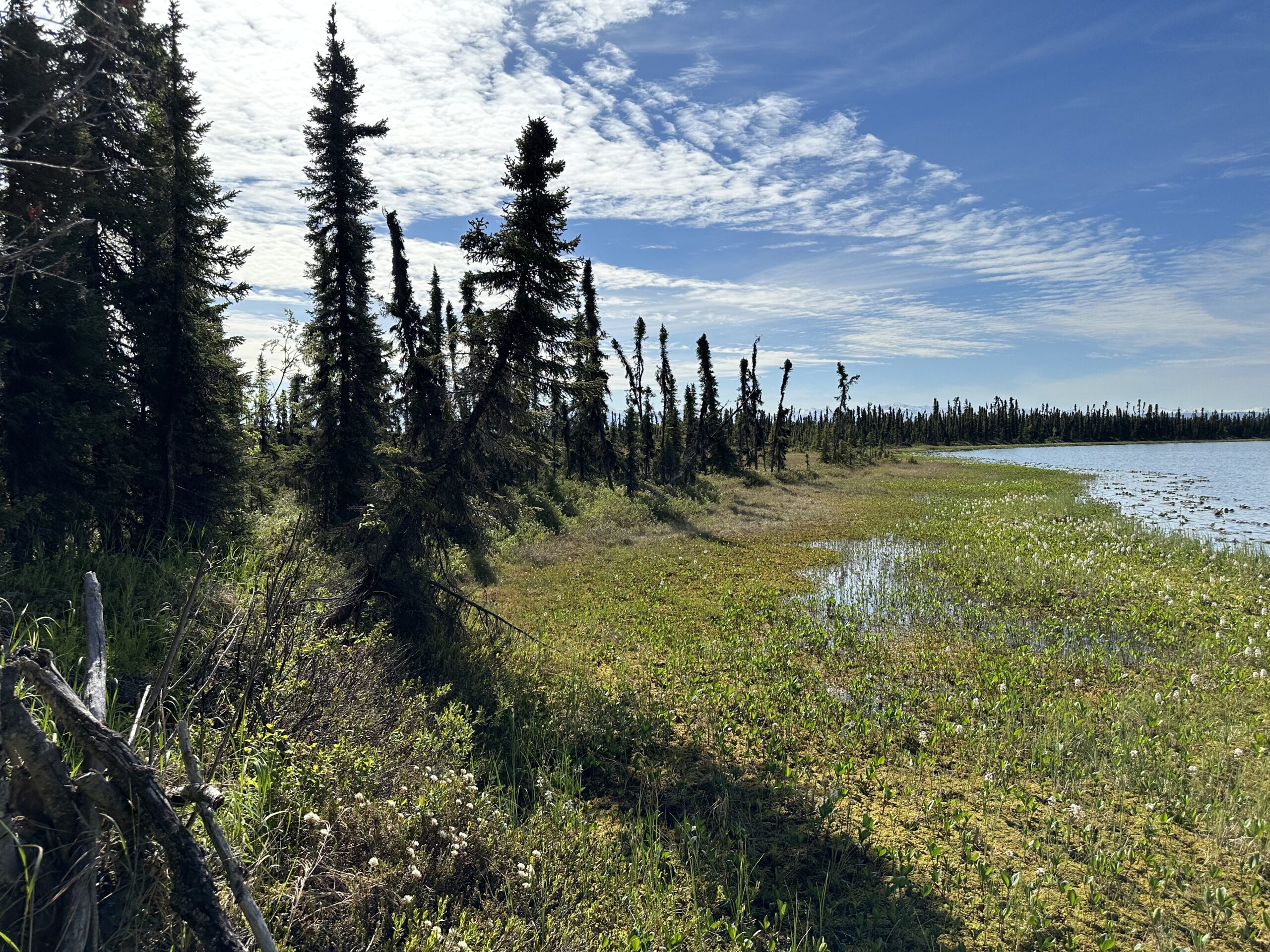
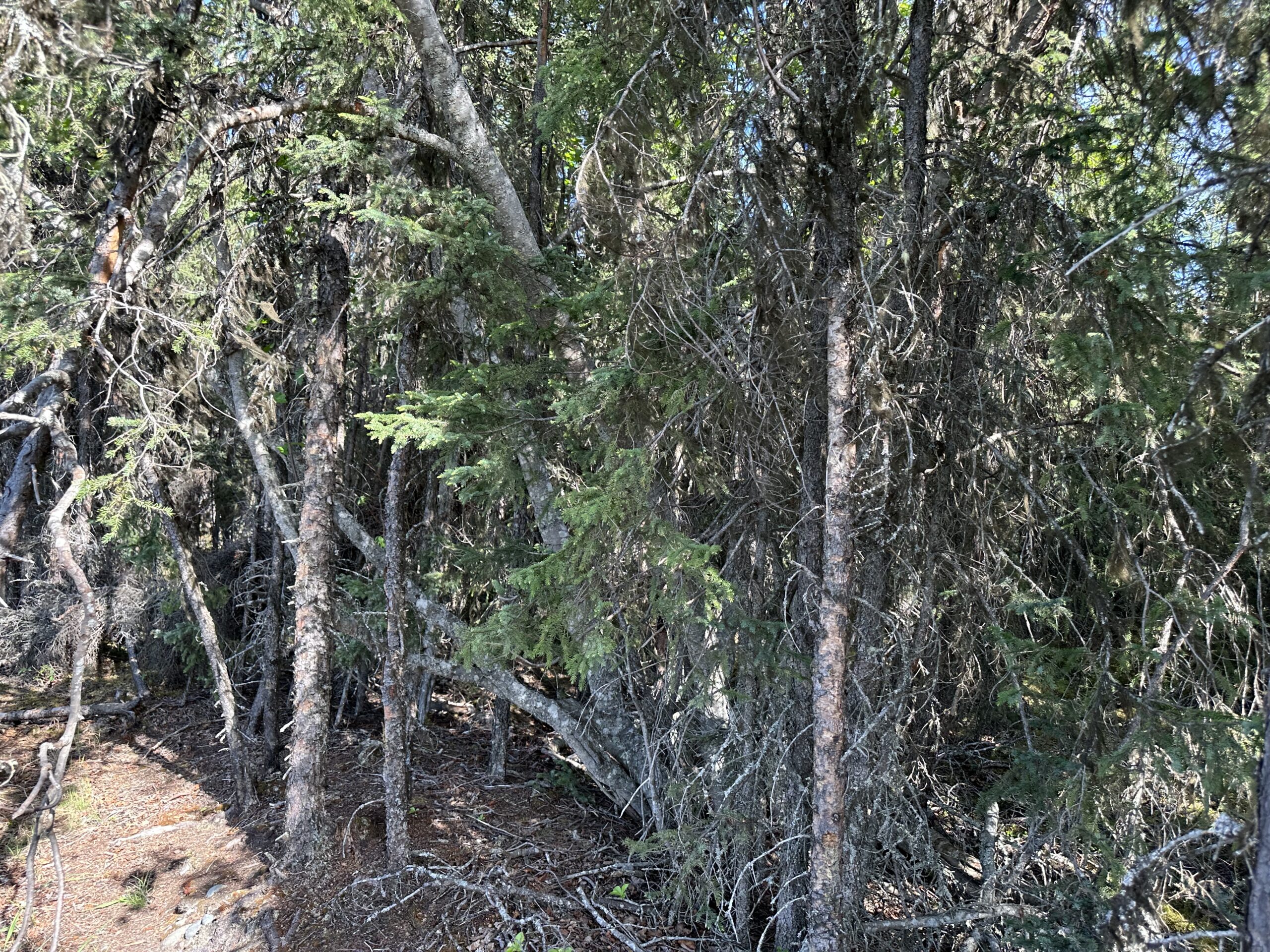
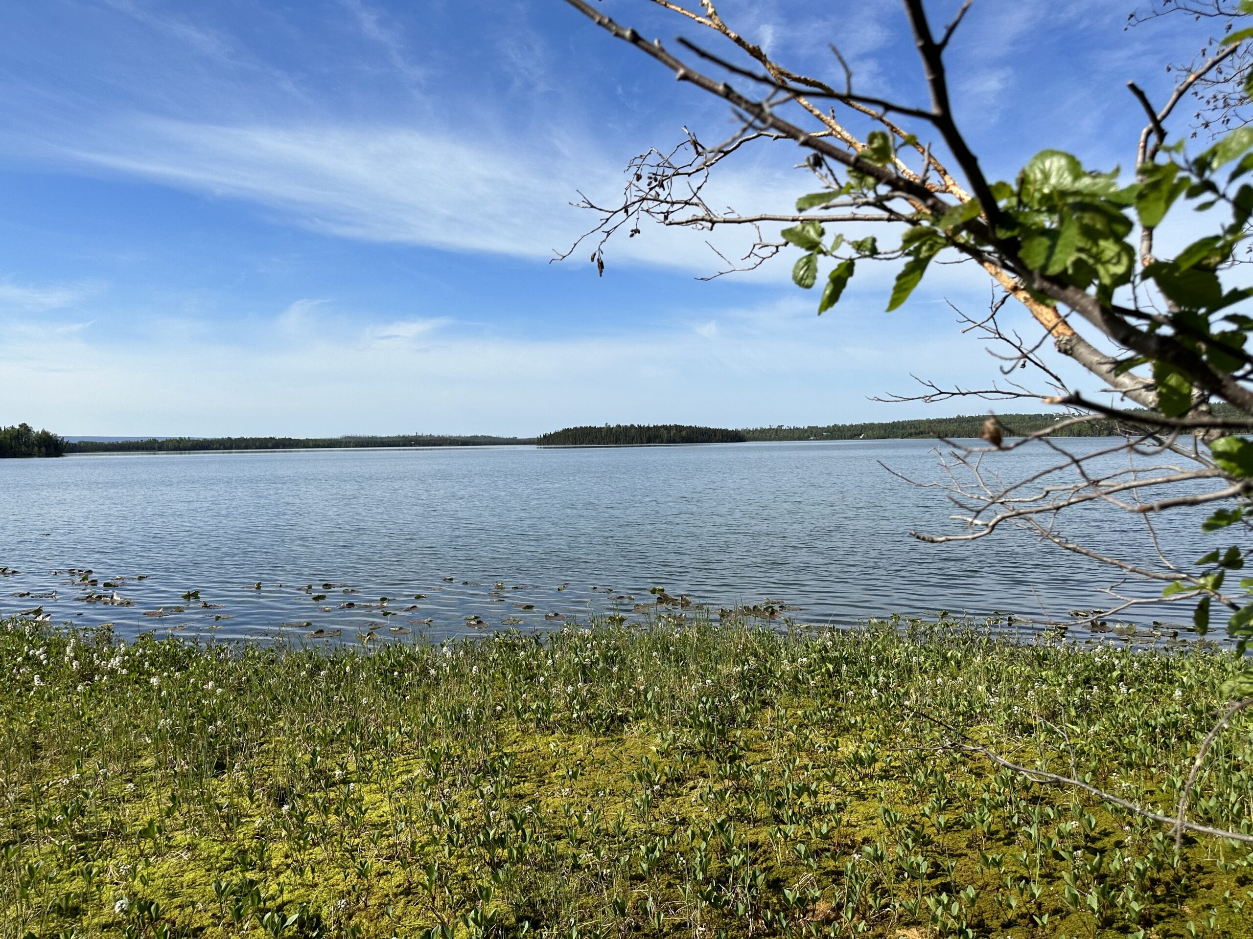
Th parcel appears to have suitable building sites and benefits from a lake on the southern boundary. The vegetation is consistent with the southcentral region.
Wetlands are present on the parcel including that portion fronting Browns Lake.
To view the parcel on the interactive map, please click the link: Parcel Viewer
Maps and Survey
Note: Maps included are for graphic representation only and are intended to be used as a guide. It is the responsibility of the purchaser to review recorded subdivision plats/maps, surveys, and plat notes for specific information on easements, building setbacks, or other restrictions that will affect any individual parcel. Information is made available at the Department of Natural Resources Public Information Centers or on the web at: http://dnr.alaska.gov/landrecords/
How to Place a Bid
For information on how to place a bid on this parcel, please visit and review the posted Policy and Procedures for the 2024 Fall Competitive Land Sale Auction.