OTC: Meyers Chuck (MHT 9101037)
MHT Number: 9101037
Purchase Price: $45,500.00
Parcel Acres: 1.01
Lot: 40G
Parcel Road Access: No
MH Parcel Number: CRM-2537
Survey: ASLS 85-93
MTRS: C071S086E05
Region: Southeast
General Location: Meyers Chuck
Community/Subdivision (S/D): Meyers Chuck S/D
Location:
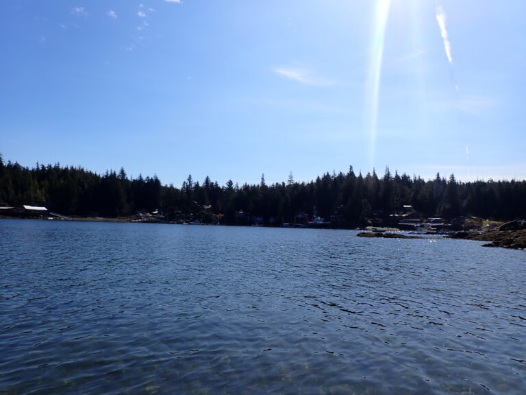
The natural, well-protected harbor has long been a shelter for fishing boats caught in the stormy waters of Clarence Strait. Meyers Chuck is a fishing community and home to many of retirement age who are seeking the tranquility that this remote location affords. Many residents live in the community only seasonally. The community is now part of the City and Borough of Wrangell.
Meyers Chuck is located along Clarence Strait on the northwest tip of Cleveland Peninsula. It lies 40 miles northwest of Ketchikan, and falls within the southeast maritime climate zone, characterized by cool summers, mild winters and heavy rain year-round.
How to Access
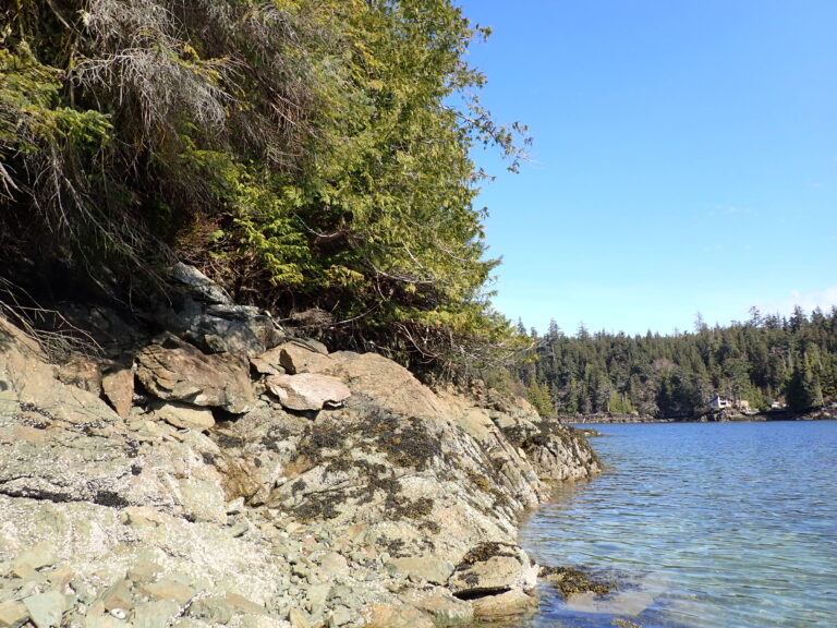
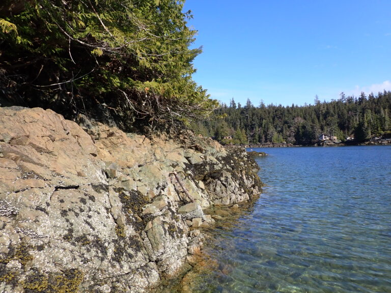
The parcels can be accessed by the existing trail from the main Meyers Chuck dock, at higher tides from the back chuck water. The parcels located on Meyers Islands can be accessed from the Meyers Chuck dock or boat.
Utilities
There is no central electric system and individual generators supply power with a few residents supplementing with solar or wind power. There is no public sewer or water to the parcel. Septic systems have to be developed on-site and meet the Alaska Department of Environmental Conservation (DEC). Water in the area is typically collected on-site via private wells of water catchment systems.
Muni/Borough Authority
The subject property is not assessed as there is no property tax in Meyers Chuck, but lies within the Ketchikan Recording District.
Additional Notes
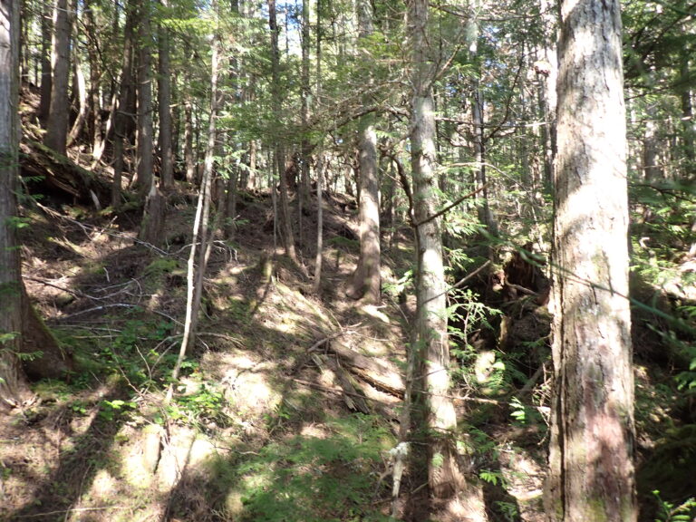
The parcel is mostly wooded with a combination of spruce, hemlock and bushes. Undergrowth includes berry bushes, devils club, and the typical flora found throughout Southeast Alaska including mosses, ferns, etc. Soils appear to be overburden on developable soils.
To view the parcel on the interactive map, please click the link: Parcel Viewer
Maps and Survey
ASLS 85-93
Note: Maps included are for graphic representation only and are intended to be used as a guide. It is the responsibility of the purchaser to review recorded subdivision plats/maps, surveys, and plat notes for specific information on easements, building setbacks, or other restrictions that will affect any individual parcel. Information is made available at the Department of Natural Resources Public Information Centers or on the web at: http://dnr.alaska.gov/landrecords/
How to Purchase
For information on how to purchase this parcel, please visit and review the posted Policy and Procedures for the Over the Counter Land Sales.
